Latifi Facts
| Local Time | |
| Timezone | Iran Standard Time |
| Lat & Lng | 27.69010, 54.38720 |
Map of Latifi
Interactive Map
Recent Nearby Earthquakes
Magnitude 3.0 and greater
| Date▼ | Time↕ | Magnitude↕ | Distance↕ | Depth↕ | Location↕ | Link |
|---|---|---|---|---|---|---|
| 4/11/19 | 1:39 AM | 4 | 23.5 km | 10,000 m | 3km NNE of Gerash, Iran | usgs.gov |
| 1/2/19 | 3:39 PM | 4.3 | 45.6 km | 10,000 m | 45km NNW of Lar, Iran | usgs.gov |
| 2/26/18 | 3:27 PM | 4.4 | 18.6 km | 10,000 m | 18km S of Lar, Iran | usgs.gov |
| 4/28/17 | 1:00 PM | 4.2 | 41.9 km | 10,000 m | 46km ENE of Lar, Iran | usgs.gov |
| 7/26/16 | 10:24 AM | 4.1 | 24.6 km | 10,000 m | 28km ENE of Lar, Iran | usgs.gov |
| 7/26/16 | 10:10 AM | 4.2 | 25.7 km | 10,000 m | 29km E of Lar, Iran | usgs.gov |
| 4/3/16 | 12:57 AM | 4.2 | 41 km | 10,000 m | 45km ENE of Lar, Iran | usgs.gov |
| 8/10/15 | 7:02 PM | 4.2 | 36.4 km | 12,000 m | 39km SE of Lar, Iran | usgs.gov |
| 12/27/14 | 12:00 PM | 4.3 | 37.9 km | 5,400 m | 18km NW of Gerash, Iran | usgs.gov |
| 11/16/14 | 11:46 AM | 4.4 | 27.2 km | 5,000 m | 9km N of Gerash, Iran | usgs.gov |
Source: U.S. Geological Survey (USGS)
Latifi
Latifi (Persian: لطيفي, also Romanized as Laţīfī) is a city in the Central District of Larestan County, Fars Province, Iran. At the 2006 census, its population was 5,731, in 1,184 families.
Latifi Wikipedia Page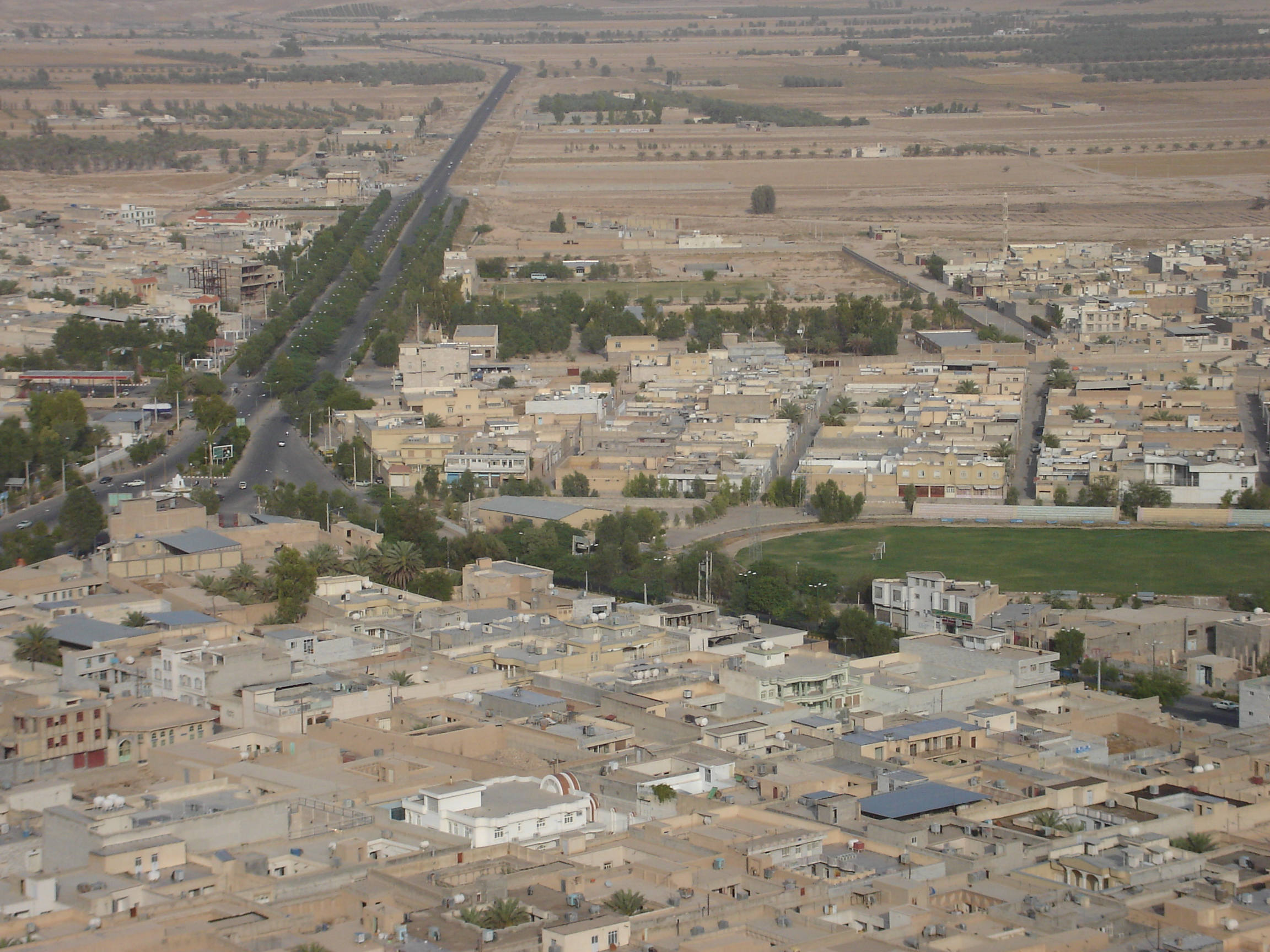
About Our Data
The data on this page is estimated using a number of publicly available tools and resources. It is provided without warranty, and could contain inaccuracies. Use at your own risk.