Liru Facts
| Local Time | |
| Timezone | Iran Standard Time |
| Lat & Lng | 37.19417, 55.61998 |
Map of Liru
Interactive Map
Recent Nearby Earthquakes
Magnitude 3.0 and greater
| Date▼ | Time↕ | Magnitude↕ | Distance↕ | Depth↕ | Location↕ | Link |
|---|---|---|---|---|---|---|
| 4/26/19 | 5:10 PM | 4.2 | 22.9 km | 10,000 m | 10km ENE of Kalaleh, Iran | usgs.gov |
| 8/16/18 | 6:41 AM | 4.3 | 36.6 km | 10,000 m | 26km SE of Shah Pasand, Iran | usgs.gov |
| 8/10/18 | 11:00 PM | 4.2 | 72 km | 10,000 m | 38km SSW of Shah Pasand, Iran | usgs.gov |
| 3/18/18 | 2:53 AM | 4.3 | 52.2 km | 10,000 m | 23km S of Shah Pasand, Iran | usgs.gov |
| 2/17/18 | 10:32 PM | 4.2 | 56.9 km | 10,000 m | 33km S of Shah Pasand, Iran | usgs.gov |
| 4/24/17 | 3:18 PM | 4 | 92.5 km | 10,000 m | 62km WSW of Bojnurd, Iran | usgs.gov |
| 12/27/16 | 8:56 PM | 4.9 | 18.2 km | 30,490 m | 36km SE of Kalaleh, Iran | usgs.gov |
| 12/2/16 | 10:29 PM | 4 | 82.9 km | 10,000 m | 33km E of Gorgan, Iran | usgs.gov |
| 8/24/15 | 4:23 PM | 4.1 | 45 km | 30,340 m | 4km SSW of Shah Pasand, Iran | usgs.gov |
| 8/17/15 | 5:36 PM | 4.3 | 99.5 km | 8,000 m | 28km ESE of Shahrud, Iran | usgs.gov |
Source: U.S. Geological Survey (USGS)
Liru
Liru (Persian: ليرو, also Romanized as Līrū and Lirow) is a village in Nilkuh Rural District in the Central District of Galikash County, Golestan Province, Iran. At the 2006 census, its population was 461, in 110 families.
Liru Wikipedia Page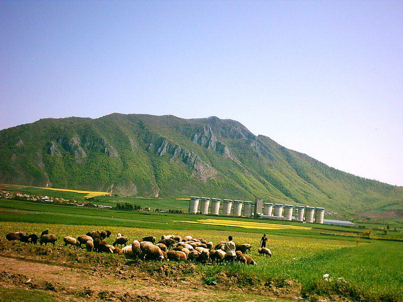
About Our Data
The data on this page is estimated using a number of publicly available tools and resources. It is provided without warranty, and could contain inaccuracies. Use at your own risk.