Mahjerd Facts
| Local Time | |
| Timezone | Iran Standard Time |
| Lat & Lng | 30.36330, 55.43070 |
Map of Mahjerd
Interactive Map
Recent Nearby Earthquakes
Magnitude 3.0 and greater
| Date▼ | Time↕ | Magnitude↕ | Distance↕ | Depth↕ | Location↕ | Link |
|---|---|---|---|---|---|---|
| 10/28/16 | 2:02 PM | 4.8 | 99.3 km | 17,670 m | 21km SW of Zarand, Iran | usgs.gov |
| 2/18/06 | 11:03 AM | 4.7 | 61.5 km | 14,100 m | central Iran | usgs.gov |
| 3/19/98 | 8:33 AM | 4.7 | 77.6 km | 33,000 m | southern Iran | usgs.gov |
| 9/18/79 | 5:16 PM | 4.2 | 81 km | 33,000 m | central Iran | usgs.gov |
| 4/18/11 | 6:14 PM | 6.5 | 84.7 km | 15,000 m | central Iran | usgs.gov |
Source: U.S. Geological Survey (USGS)
Mahjerd
Mahjerd (Persian: مهجرد; also known as Mahjerdū’īyeh and Mehjerdī) is a village in Raviz Rural District, Koshkuiyeh District, Rafsanjan County, Kerman Province, Iran. At the 2006 census, its population was 14, in 5 families.
Mahjerd Wikipedia Page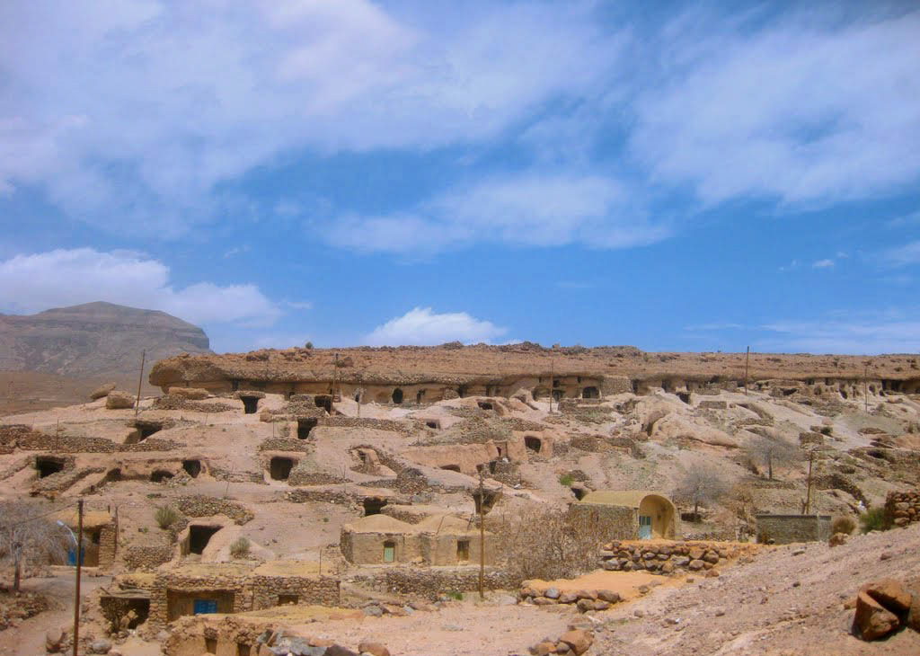
About Our Data
The data on this page is estimated using a number of publicly available tools and resources. It is provided without warranty, and could contain inaccuracies. Use at your own risk.