Majarshin Facts
| Local Time | |
| Timezone | Iran Standard Time |
| Lat & Lng | 37.73590, 46.15300 |
Map of Majarshin
Interactive Map
Recent Nearby Earthquakes
Magnitude 3.0 and greater
| Date▼ | Time↕ | Magnitude↕ | Distance↕ | Depth↕ | Location↕ | Link |
|---|---|---|---|---|---|---|
| 8/16/19 | 10:55 AM | 4.1 | 52.1 km | 10,000 m | 39km ESE of Tabriz, Iran | usgs.gov |
| 12/21/18 | 9:39 AM | 3.4 | 90 km | 10,000 m | 34km S of Ahar, Iran | usgs.gov |
| 10/18/17 | 5:35 PM | 4.3 | 89 km | 13,570 m | 29km NNE of Hashtrud, Iran | usgs.gov |
| 8/27/17 | 11:14 PM | 5.2 | 89.3 km | 17,290 m | 52km N of Hashtrud, Iran | usgs.gov |
| 9/3/16 | 8:44 PM | 4 | 91.4 km | 3,720 m | 34km NNE of Hashtrud, Iran | usgs.gov |
| 8/2/16 | 10:15 AM | 3.8 | 93 km | 7,700 m | 29km W of Ahar, Iran | usgs.gov |
| 1/24/15 | 1:17 AM | 4.3 | 85.5 km | 6,700 m | 46km S of Ahar, Iran | usgs.gov |
| 1/19/15 | 11:53 AM | 3.8 | 52 km | 10,000 m | 29km ESE of Tabriz, Iran | usgs.gov |
| 3/9/14 | 6:34 AM | 3.5 | 44.6 km | 16,700 m | 8km E of Tabriz, Iran | usgs.gov |
| 12/19/13 | 7:58 AM | 4 | 87 km | 9,770 m | 28km SW of Ahar, Iran | usgs.gov |
Source: U.S. Geological Survey (USGS)
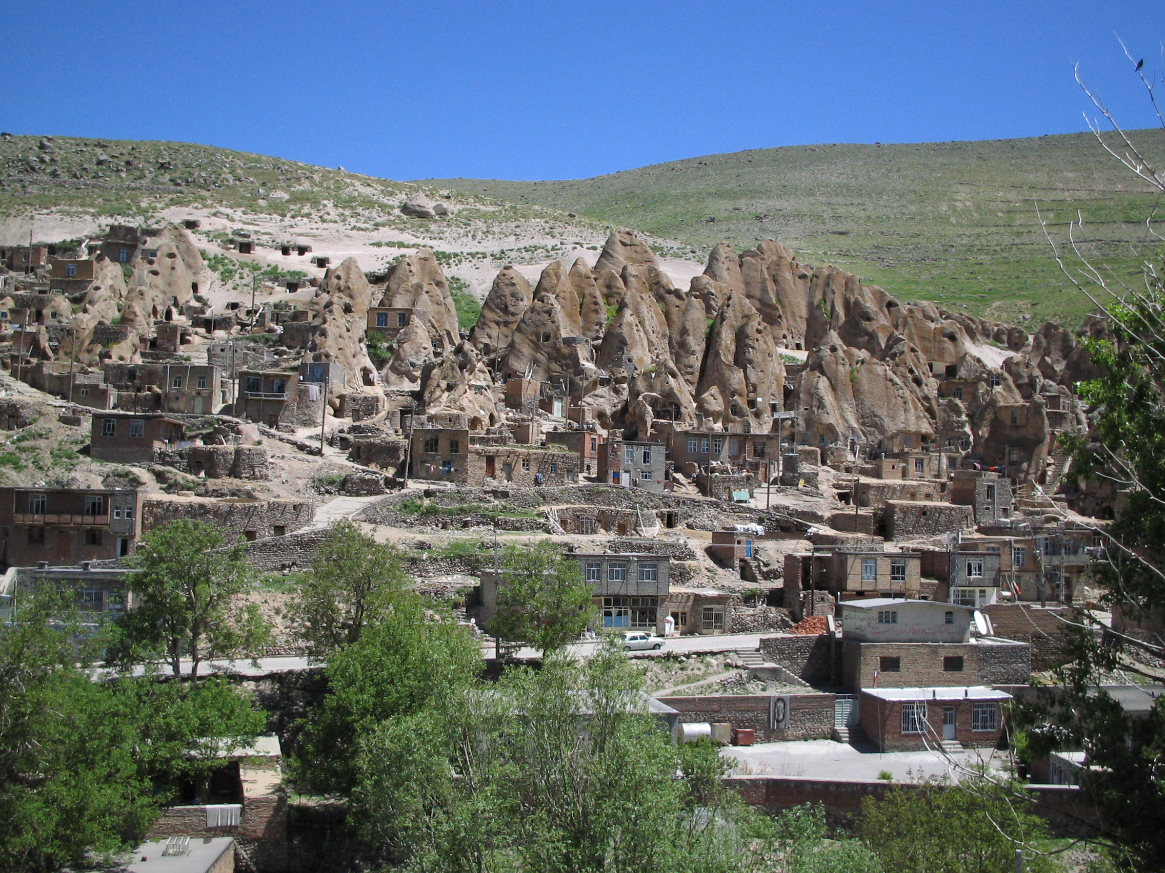
Majarshin
Majarshin (Persian: مجارشين, also Romanized as Majārshīn and Majāreshīn) is a village in Gonbar Rural District, in the Central District of Osku County, East Azerbaijan Province, Iran. At the 2011 census, its population was 1,112, in 304 families. ..
Majarshin Wikipedia Page

About Our Data
The data on this page is estimated using a number of publicly available tools and resources. It is provided without warranty, and could contain inaccuracies. Use at your own risk.