Sandaran Facts
| Local Time | |
| Timezone | Iran Standard Time |
| Lat & Lng | 31.22854, 49.60552 |
Map of Sandaran
Interactive Map
Recent Nearby Earthquakes
Magnitude 3.0 and greater
| Date▼ | Time↕ | Magnitude↕ | Distance↕ | Depth↕ | Location↕ | Link |
|---|---|---|---|---|---|---|
| 2/9/19 | 9:26 PM | 4.8 | 50.6 km | 10,000 m | 36km SE of Masjed Soleyman, Iran | usgs.gov |
| 10/7/18 | 2:25 PM | 4.5 | 35.3 km | 10,000 m | 34km E of Ramhormoz, Iran | usgs.gov |
| 1/2/18 | 11:39 PM | 4.3 | 22.5 km | 10,000 m | 25km SW of Ramhormoz, Iran | usgs.gov |
| 10/5/17 | 10:11 AM | 4.7 | 38.5 km | 10,000 m | 37km W of Ramhormoz, Iran | usgs.gov |
| 2/4/17 | 5:34 PM | 4.2 | 15.5 km | 40,080 m | 13km WNW of Ramhormoz, Iran | usgs.gov |
| 10/14/16 | 1:46 PM | 4.3 | 34.8 km | 10,000 m | 26km NNE of Omidiyeh, Iran | usgs.gov |
| 10/14/16 | 1:43 AM | 4.8 | 41.6 km | 20,000 m | 37km NNE of Aghajari, Iran | usgs.gov |
| 5/25/16 | 5:57 AM | 4.2 | 37.6 km | 10,000 m | 31km N of Ramhormoz, Iran | usgs.gov |
| 5/25/16 | 5:53 AM | 4.3 | 38 km | 10,000 m | 32km N of Ramhormoz, Iran | usgs.gov |
| 2/19/16 | 5:05 PM | 4.6 | 50.2 km | 10,000 m | 45km NE of Ramhormoz, Iran | usgs.gov |
Source: U.S. Geological Survey (USGS)
Sandaran
Sandaran (Persian: سندران, also Romanized as Sandarān; also known as Sandavān) is a village in Howmeh-ye Sharqi Rural District, in the Central District of Ramhormoz County, Khuzestan Province, Iran. At the 2006 census, its population was 183, in 46..
Sandaran Wikipedia Page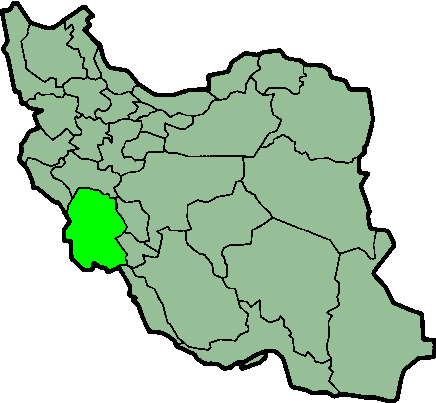
About Our Data
The data on this page is estimated using a number of publicly available tools and resources. It is provided without warranty, and could contain inaccuracies. Use at your own risk.