Satian Facts
| Local Time | |
| Timezone | Iran Standard Time |
| Lat & Lng | 33.88410, 46.23700 |
Map of Satian
Interactive Map
Recent Nearby Earthquakes
Magnitude 3.0 and greater
| Date▼ | Time↕ | Magnitude↕ | Distance↕ | Depth↕ | Location↕ | Link |
|---|---|---|---|---|---|---|
| 4/1/19 | 10:16 AM | 4.8 | 47.6 km | 10,000 m | 22km ESE of Mandali, Iraq | usgs.gov |
| 4/1/19 | 10:07 AM | 5.3 | 55 km | 10,000 m | 27km SE of Mandali, Iraq | usgs.gov |
| 1/6/19 | 2:15 PM | 4.9 | 55.4 km | 10,000 m | 34km NNE of Mandali, Iraq | usgs.gov |
| 1/6/19 | 2:03 PM | 4.2 | 48 km | 10,000 m | 39km NNE of Mandali, Iraq | usgs.gov |
| 1/6/19 | 1:41 PM | 5.6 | 58 km | 14,000 m | 40km SSW of Sarpol-e Zahab, Iran | usgs.gov |
| 12/9/18 | 3:24 AM | 4.7 | 59.4 km | 10,000 m | 20km SSW of Sarpol-e Zahab, Iran | usgs.gov |
| 11/29/18 | 1:16 PM | 4.5 | 65.5 km | 10,000 m | 7km SSE of Sarpol-e Zahab, Iran | usgs.gov |
| 11/27/18 | 11:11 AM | 4.4 | 60.9 km | 10,000 m | 42km SSW of Sarpol-e Zahab, Iran | usgs.gov |
| 11/25/18 | 8:42 PM | 4.3 | 54.8 km | 10,000 m | 39km NNE of Mandali, Iraq | usgs.gov |
| 9/19/18 | 7:29 PM | 4.6 | 56.1 km | 10,000 m | 21km SE of Mandali, Iraq | usgs.gov |
Source: U.S. Geological Survey (USGS)
Satian
Satian (Persian: ساتيان, also Romanized as Sātīān) is a village in Nabovat Rural District, in the Central District of Eyvan County, Ilam Province, Iran. At the 2006 census, its population was 422, in 90 families.
Satian Wikipedia Page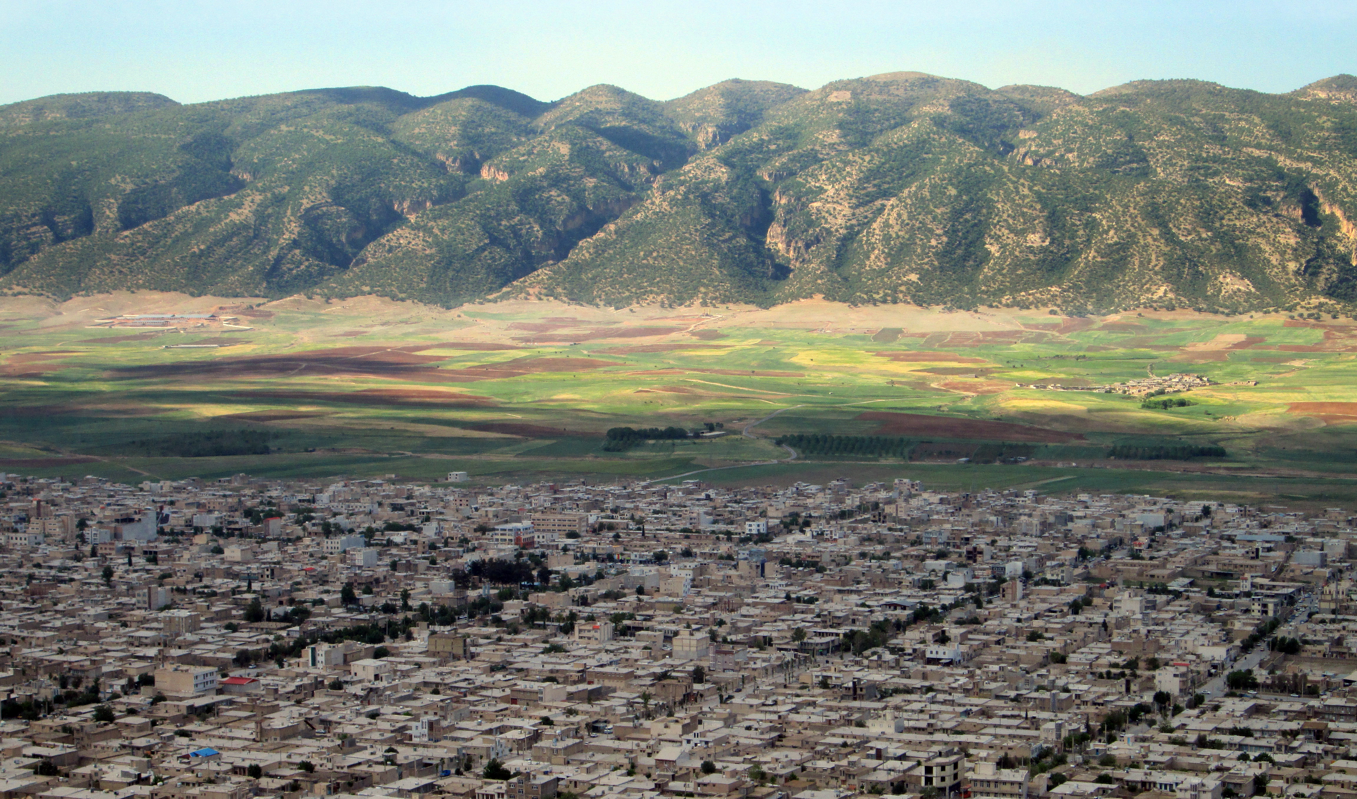
About Our Data
The data on this page is estimated using a number of publicly available tools and resources. It is provided without warranty, and could contain inaccuracies. Use at your own risk.