Semerun Facts
| Local Time | |
| Timezone | Iran Standard Time |
| Lat & Lng | 30.92908, 51.28851 |
Map of Semerun
Interactive Map
Recent Nearby Earthquakes
Magnitude 3.0 and greater
| Date▼ | Time↕ | Magnitude↕ | Distance↕ | Depth↕ | Location↕ | Link |
|---|---|---|---|---|---|---|
| 8/4/19 | 7:51 PM | 5.3 | 46.1 km | 41,870 m | 36km NNE of Do Gonbadan, Iran | usgs.gov |
| 1/19/19 | 9:15 PM | 4.2 | 19.7 km | 10,000 m | 25km WNW of Yasuj, Iran | usgs.gov |
| 9/24/18 | 8:43 AM | 4.2 | 10 km | 10,000 m | 49km NW of Yasuj, Iran | usgs.gov |
| 7/6/18 | 12:38 PM | 4.1 | 29.6 km | 10,000 m | 12km WNW of Yasuj, Iran | usgs.gov |
| 6/18/18 | 8:59 AM | 4.5 | 77.1 km | 10,000 m | 9km ESE of Do Gonbadan, Iran | usgs.gov |
| 6/13/18 | 1:41 AM | 4.2 | 66.7 km | 10,000 m | 59km W of Semirom, Iran | usgs.gov |
| 6/6/18 | 7:51 AM | 4.4 | 40.5 km | 10,000 m | 13km SW of Yasuj, Iran | usgs.gov |
| 5/13/18 | 1:13 AM | 4.4 | 41.5 km | 10,000 m | 6km SW of Yasuj, Iran | usgs.gov |
| 5/10/18 | 7:12 AM | 4.5 | 55.5 km | 10,000 m | 32km SW of Yasuj, Iran | usgs.gov |
| 5/6/18 | 7:57 PM | 5.3 | 32.2 km | 10,000 m | 10km WNW of Yasuj, Iran | usgs.gov |
Source: U.S. Geological Survey (USGS)
Semerun
Semerun (Persian: سمرون, also Romanized as Semerūn and Semrun; also known as Semīrūn and Sīmerūn) is a village in Tut-e Nadeh Rural District, in the Central District of Dana County, Kohgiluyeh and Boyer-Ahmad Province, Iran. At the 2006 census, its..
Semerun Wikipedia Page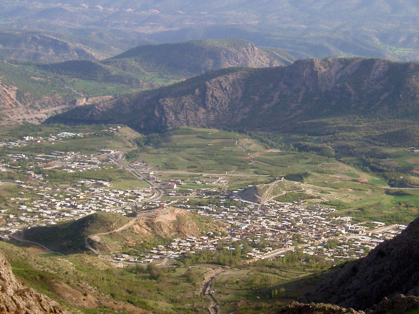
About Our Data
The data on this page is estimated using a number of publicly available tools and resources. It is provided without warranty, and could contain inaccuracies. Use at your own risk.