Seqizchi Facts
| Local Time | |
| Timezone | Iran Standard Time |
| Lat & Lng | 37.39528, 48.42028 |
Map of Seqizchi
Interactive Map
Recent Nearby Earthquakes
Magnitude 3.0 and greater
| Date▼ | Time↕ | Magnitude↕ | Distance↕ | Depth↕ | Location↕ | Link |
|---|---|---|---|---|---|---|
| 1/31/19 | 9:31 AM | 4.7 | 41.2 km | 10,000 m | 28km S of Hashtpar, Iran | usgs.gov |
| 1/25/19 | 1:47 PM | 4.2 | 71.4 km | 10,000 m | 20km ESE of Hashtpar, Iran | usgs.gov |
| 6/26/17 | 11:59 PM | 4.1 | 31.9 km | 10,000 m | 23km ESE of Herowabad, Iran | usgs.gov |
| 3/24/16 | 7:51 PM | 3.8 | 98.6 km | 13,030 m | 46km SE of Hashtrud, Iran | usgs.gov |
| 3/6/16 | 11:13 PM | 3.9 | 34 km | 10,000 m | 54km NNW of Zanjan, Iran | usgs.gov |
| 10/13/13 | 10:21 PM | 4.2 | 30.9 km | 7,400 m | 14km WNW of Herowabad, Iran | usgs.gov |
| 7/6/13 | 5:07 PM | 4.1 | 54.8 km | 10,700 m | northwestern Iran | usgs.gov |
| 3/18/12 | 2:38 AM | 4.4 | 94.2 km | 14,000 m | northern Iran | usgs.gov |
| 3/4/11 | 9:46 AM | 4.6 | 41 km | 14,100 m | northwestern Iran | usgs.gov |
| 10/22/10 | 9:08 AM | 4.4 | 83.7 km | 15,000 m | near the coast of northern Iran | usgs.gov |
Source: U.S. Geological Survey (USGS)
Seqizchi
Seqizchi (Persian: سقيزچي, also Romanized as Seqīzchī; also known as Chahār Khānevār and Seqarchī) is a village in Khvoresh Rostam-e Shomali Rural District, Khvoresh Rostam District, Khalkhal County, Ardabil Province, Iran. At the 2006 census, its ..
Seqizchi Wikipedia Page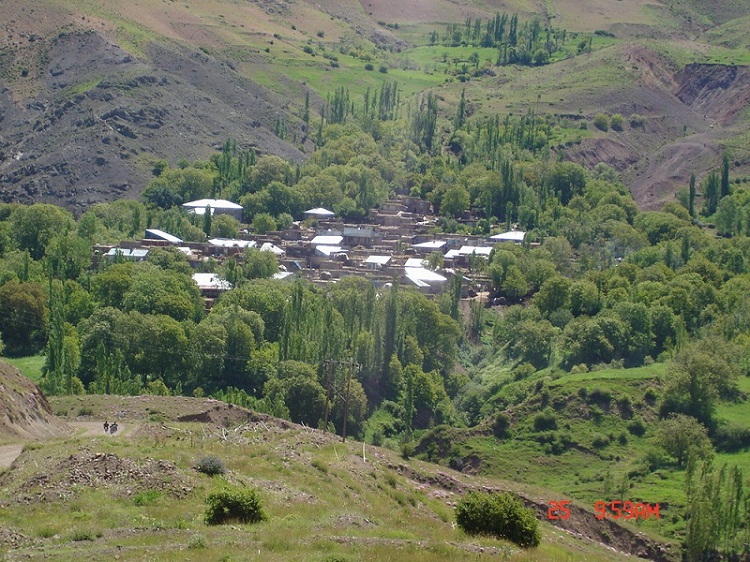

About Our Data
The data on this page is estimated using a number of publicly available tools and resources. It is provided without warranty, and could contain inaccuracies. Use at your own risk.