Drangsnes Facts
| Local Time | |
| Timezone | Greenwich Mean Time |
| Lat & Lng | 65.68918, -21.44353 |
| Postal Codes | 520 |
Map of Drangsnes
Interactive Map
Area Codes
Percentage Area Codes used by businesses in Drangsnes
Recent Nearby Earthquakes
Magnitude 3.0 and greater
| Date▼ | Time↕ | Magnitude↕ | Distance↕ | Depth↕ | Location↕ | Link |
|---|---|---|---|---|---|---|
| 7/19/85 | 5:23 PM | 4.3 | 94 km | 10,000 m | Iceland | usgs.gov |
| 12/23/75 | 4:28 PM | 4.3 | 73.2 km | 33,000 m | Iceland | usgs.gov |
| 6/12/74 | 4:08 PM | 4.8 | 94.6 km | 16,000 m | Iceland | usgs.gov |
| 5/31/74 | 12:28 PM | 4.4 | 65.9 km | 37,000 m | Iceland | usgs.gov |
| 5/11/74 | 9:17 AM | 4.6 | 85.9 km | 16,000 m | Iceland | usgs.gov |
| 3/28/63 | 12:15 AM | 6.9 | 94.4 km | 10,000 m | Iceland region | usgs.gov |
Source: U.S. Geological Survey (USGS)
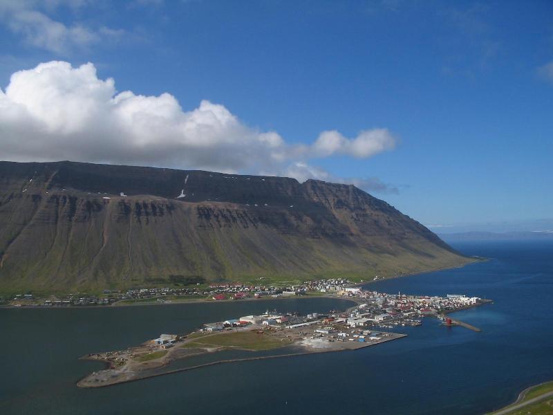
Drangsnes
Drangsnes is a small town in the western part of Iceland, at the mouth of Steingrímsfjörður and near Hólmavík. is part of the Kaldrananeshreppur municipality and only has 67 inhabitants (2011 census). It got its name from a tall rock named Kerling o..
Drangsnes Wikipedia Page


About Our Data
The data on this page is estimated using a number of publicly available tools and resources. It is provided without warranty, and could contain inaccuracies. Use at your own risk.