Acera Facts
| Local Time | |
| Timezone | Central European Summer Time |
| Lat & Lng | 42.82391, 12.84251 |
Map of Acera
Interactive Map
Recent Nearby Earthquakes
Magnitude 3.0 and greater
| Date▼ | Time↕ | Magnitude↕ | Distance↕ | Depth↕ | Location↕ | Link |
|---|---|---|---|---|---|---|
| 1/2/17 | 3:36 AM | 4.3 | 9.4 km | 10,000 m | 4km SW of Campello sul Clitunno, Italy | usgs.gov |
| 3/31/06 | 10:48 PM | 3.2 | 11 km | 4,000 m | central Italy | usgs.gov |
| 2/9/06 | 1:01 AM | 3.1 | 7.9 km | 8,100 m | central Italy | usgs.gov |
| 1/5/06 | 5:30 PM | 3.8 | 7.4 km | 10,000 m | central Italy | usgs.gov |
| 12/15/05 | 6:00 AM | 3.3 | 10.2 km | 19,300 m | central Italy | usgs.gov |
| 12/13/05 | 7:12 AM | 3 | 11.2 km | 10,500 m | central Italy | usgs.gov |
| 12/3/98 | 2:22 AM | 3.5 | 11.7 km | 10,000 m | central Italy | usgs.gov |
| 7/15/98 | 9:26 PM | 3.3 | 3.9 km | 10,000 m | central Italy | usgs.gov |
| 6/5/98 | 6:04 PM | 3.6 | 9.3 km | 10,000 m | central Italy | usgs.gov |
| 4/19/98 | 11:27 AM | 3.6 | 7.3 km | 10,000 m | central Italy | usgs.gov |
Source: U.S. Geological Survey (USGS)
Acera
Acera is a frazione of the comune of Campello sul Clitunno in the Province of Perugia, Umbria, central Italy. It stands at an elevation of 972 metres above sea level. At the time of the Istat census of 2001 it had 19 inhabitants.
Acera Wikipedia Page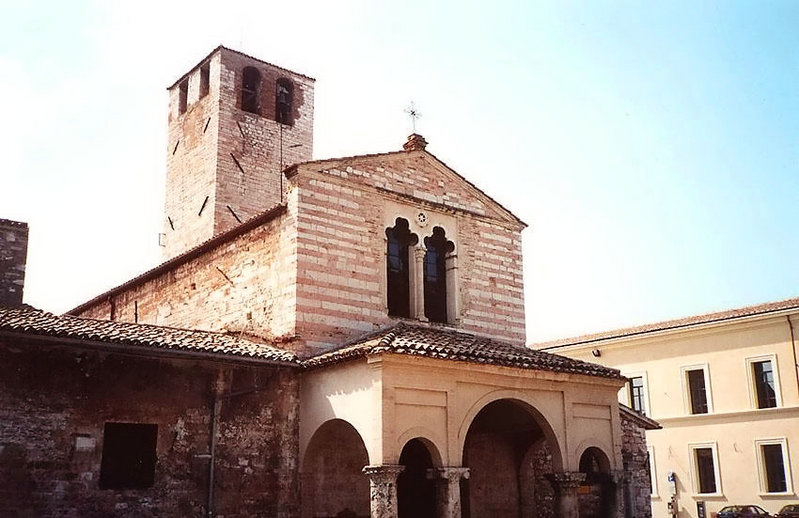


About Our Data
The data on this page is estimated using a number of publicly available tools and resources. It is provided without warranty, and could contain inaccuracies. Use at your own risk.