Anitrella Facts
| Local Time | |
| Timezone | Central European Summer Time |
| Lat & Lng | 41.63825, 13.54835 |
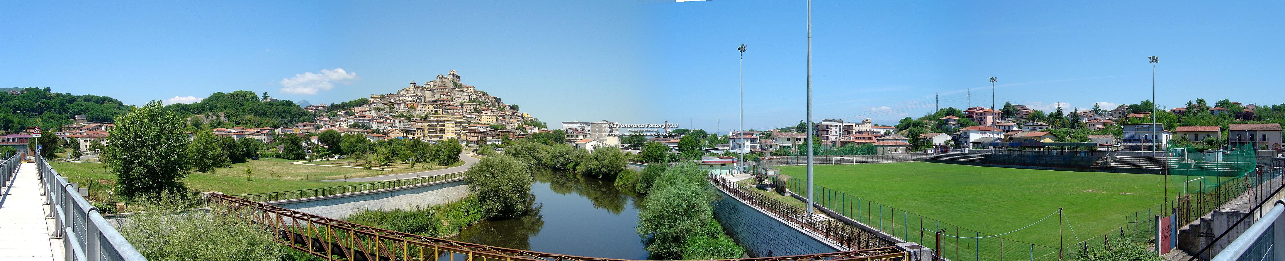
Map of Anitrella
Interactive Map
Recent Nearby Earthquakes
Magnitude 3.0 and greater
| Date▼ | Time↕ | Magnitude↕ | Distance↕ | Depth↕ | Location↕ | Link |
|---|---|---|---|---|---|---|
| 1/1/19 | 6:37 PM | 4.3 | 31.6 km | 16,110 m | 4km SSW of Trasacco, Italy | usgs.gov |
| 9/10/17 | 7:58 PM | 3.9 | 63.3 km | 5,000 m | 3km SE of Borgorose, Italy | usgs.gov |
| 2/28/15 | 3:16 AM | 4.2 | 37.9 km | 17,300 m | 2km N of Trasacco, Italy | usgs.gov |
| 2/16/13 | 9:16 PM | 4.8 | 8.7 km | 10,700 m | 3km SSE of Balsorano Vecchio, Italy | usgs.gov |
| 8/6/09 | 3:36 PM | 4.2 | 9.8 km | 11,100 m | southern Italy | usgs.gov |
| 4/24/09 | 10:51 PM | 3 | 69.9 km | 11,000 m | central Italy | usgs.gov |
| 4/23/09 | 9:49 PM | 4.2 | 66.3 km | 9,300 m | central Italy | usgs.gov |
| 4/23/09 | 3:14 PM | 4.1 | 67.8 km | 9,900 m | central Italy | usgs.gov |
| 4/7/09 | 5:47 PM | 5.5 | 71.1 km | 15,100 m | central Italy | usgs.gov |
| 3/29/09 | 8:43 AM | 4 | 54.1 km | 10,000 m | central Italy | usgs.gov |
Source: U.S. Geological Survey (USGS)
Anitrella
Anitrella is a frazione, or territorial subdivision of a comune, of the Italian comune (municipality) of Monte San Giovanni Campano. was an important paper mill built by the counts Lucernari and ruled by the Ligurian family Piccardo.
Anitrella Wikipedia Page


About Our Data
The data on this page is estimated using a number of publicly available tools and resources. It is provided without warranty, and could contain inaccuracies. Use at your own risk.