Categories in Tecchiena
Body repairCar repairGas stationNew car dealersTractors and farm equipmentWholesale of construction suppliesClothing storesJewelers and watchesLaundryChurchesPost officeElectronics storesConstruction of buildingsElectrical installationGeneral contractorsHardware storeOther constructionPlumbing installation and repairTechnical construction servicesEducationAll food and beverageBars, pubs and tavernsButcherCafesGrocery stores and supermarketsItalian restaurantsPizzaRestaurantsFurniture storesHousehold appliances and goodsRepair otherAtm'sLawyers legalDentistsGeneral practitionersHospitalsBarbersBeauty salonsDay spaHairdressersFloristsGifts, cards and party suppliesShoppingShopping otherTobacco stores
Industries
Business Distribution by Industry in Tecchiena
| Industry Description | Number of Establishments | Average Google Rating |
|---|---|---|
| Shopping | 19 | 4.5 |
| All food and beverage | 8 | 4.5 |
| Household appliances and goods | 7 | 4.5 |
| Grocery stores and supermarkets | 5 | 4.5 |
Tecchiena Facts
| Area | 1.8 km² |
| Population | 1,912 |
| Male Population | 946 (49.5%) |
| Female Population | 966 (50.5%) |
| Population change (1975 to 2020) | +0.1% |
| Population change (2000 to 2020) | +7.2% |
| Median Age | 39.8 years (Male: 39.1, Female: 40.4) |
| Local Time | |
| Timezone | Central European Summer Time |
| Lat & Lng | 41.68822, 13.34538 |
| Postal Codes | 03011 |
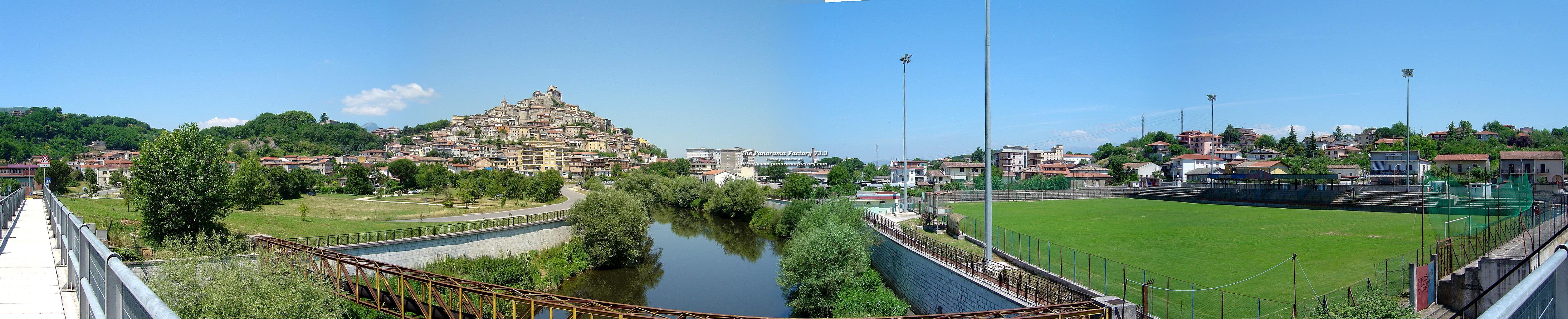
Map of Tecchiena
Interactive Map
Tecchiena Population
Years 1975 to 2020
| Data | 1975 | 1990 | 2000 | 2015 | 2020 |
|---|---|---|---|---|---|
| Population | 1,910 | 1,724 | 1,784 | 1,874 | 1,912 |
| Population Density | 1,091.4 / km² | 985.1 / km² | 1,019.4 / km² | 1,070.9 / km² | 1,092.6 / km² |
Sources: JRC (European Commission's Joint Research Centre) work on the GHS built-up grid
Tecchiena Population change from 2000 to 2015
Increase of 5% from year 2000 to 2015
| Location | Change since 1975 | Change since 1990 | Change since 2000 |
|---|---|---|---|
| Tecchiena | -1.9% | +8.7% | +5% |
| Italy | +8.3% | +4.9% | +4.7% |
Sources: JRC (European Commission's Joint Research Centre) work on the GHS built-up grid
Tecchiena Median Age
Median Age: 39.8 years
| Location | Median Age | Median Age (Female) | Median Age (Male) |
|---|---|---|---|
| Tecchiena | 39.8 yrs | 40.4 yrs | 39.1 yrs |
| Italy | 40.9 yrs | 41.5 yrs | 40.3 yrs |
Sources: CIESIN (Center for International Earth Science Information Network)
Tecchiena Population Density
Population Density: 1,093 / km²
| Location | Population | Area | Density |
|---|---|---|---|
| Tecchiena | 1,912 | 1.75 km² | 1,093 / km² |
| Italy | 59.3 million | 301,510.7 km² | 197 / km² |
Sources: JRC (European Commission's Joint Research Centre) work on the GHS built-up grid
Tecchiena Historical and Projected Population
Estimated Population from 0 to 2100
Sources:
- JRC (European Commission's Joint Research Centre) work on the GHS built-up grid
- CIESIN (Center for International Earth Science Information Network)
- [Link] Klein Goldewijk, K., Beusen, A., Doelman, J., and Stehfest, E.: Anthropogenic land use estimates for the Holocene – HYDE 3.2, Earth Syst. Sci. Data, 9, 927–953, https://doi.org/10.5194/essd-9-927-2017, 2017.
Area Codes
Percentage Area Codes used by businesses in Tecchiena
Human Development Index (HDI)
Statistic composite index of life expectancy, education, and per capita income.
Source: [Link] Kummu, M., Taka, M. &Guillaume, J. Gridded global datasets for Gross Domestic Product and Human Development Index over 1990–2015. Sci Data 5, 180004 (2018) doi:10.1038/sdata.2018.4
Tecchiena CO2 Emissions
Carbon Dioxide (CO2) Emissions Per Capita in Tonnes Per Year
| Location | CO2 Emissions | CO2 Emissions Per Capita | CO2 Emissions Intensity |
|---|---|---|---|
| Tecchiena | 11,832 tn | 6.19 tn | 6,760.9 tons/km² |
| Italy | 399,008,505 tn | 6.73 tn | 1,323.4 tons/km² |
Sources: [Link] Moran, D., Kanemoto K; Jiborn, M., Wood, R., Többen, J., and Seto, K.C. (2018) Carbon footprints of 13,000 cities. Environmental Research Letters DOI: 10.1088/1748-9326/aac72a
Tecchiena CO2 Emissions
| 2013 CO2 emissions (tonnes/year) | 11,832 tn |
| 2013 CO2 emissions (tonnes/year) per capita | 6.19 tn |
| 2013 CO2 emissions intensity (tonnes/km²/year) | 6,760.9 tons/km² |
Natural Hazards Risk
Relative risk out of 10
| Hazard | Risk Level |
|---|---|
| Earthquake | Medium (6) |
* Risk, particularly concerning flood or landslide, may not be for the entire area.
Sources:
- Dilley, M., R.S. Chen, U. Deichmann, A.L. Lerner-Lam, M. Arnold, J. Agwe, P. Buys, O. Kjekstad, B. Lyon, and G. Yetman. 2005. Natural Disaster Hotspots: A Global Risk Analysis. Washington, D.C.: World Bank. https://doi.org/10.1596/0-8213-5930-4.
- Center for Hazards and Risk Research - CHRR - Columbia University, Center for International Earth Science Information Network - CIESIN - Columbia University. 2005. Global Earthquake Hazard Distribution - Peak Ground Acceleration. Palisades, NY: NASA Socioeconomic Data and Applications Center (SEDAC). https://doi.org/10.7927/H4BZ63ZS.
Recent Nearby Earthquakes
Magnitude 3.0 and greater
| Date▼ | Time↕ | Magnitude↕ | Distance↕ | Depth↕ | Location↕ | Link |
|---|---|---|---|---|---|---|
| 6/23/19 | 8:43 PM | 3.4 | 52.5 km | 12,600 m | 1km N of Colonna, Italy | usgs.gov |
| 1/1/19 | 6:37 PM | 4.3 | 29.8 km | 16,110 m | 4km SSW of Trasacco, Italy | usgs.gov |
| 9/10/17 | 7:58 PM | 3.9 | 53.6 km | 5,000 m | 3km SE of Borgorose, Italy | usgs.gov |
| 2/28/15 | 3:16 AM | 4.2 | 35.9 km | 17,300 m | 2km N of Trasacco, Italy | usgs.gov |
| 2/16/13 | 9:16 PM | 4.8 | 19.4 km | 10,700 m | 3km SSE of Balsorano Vecchio, Italy | usgs.gov |
| 8/6/09 | 3:36 PM | 4.2 | 27.4 km | 11,100 m | southern Italy | usgs.gov |
| 5/1/09 | 5:12 AM | 3.8 | 66.5 km | 9,000 m | central Italy | usgs.gov |
| 4/24/09 | 10:51 PM | 3 | 65.7 km | 11,000 m | central Italy | usgs.gov |
| 4/23/09 | 9:49 PM | 4.2 | 61.5 km | 9,300 m | central Italy | usgs.gov |
| 4/23/09 | 3:14 PM | 4.1 | 63.2 km | 9,900 m | central Italy | usgs.gov |
Source: U.S. Geological Survey (USGS)


About Our Data
The data on this page is estimated using a number of publicly available tools and resources. It is provided without warranty, and could contain inaccuracies. Use at your own risk.