Ryōri Facts
| Local Time | |
| Timezone | Japan Standard Time |
| Lat & Lng | 39.05000, 141.80000 |
| Postal Codes | 022 |
Map of Ryōri
Interactive Map
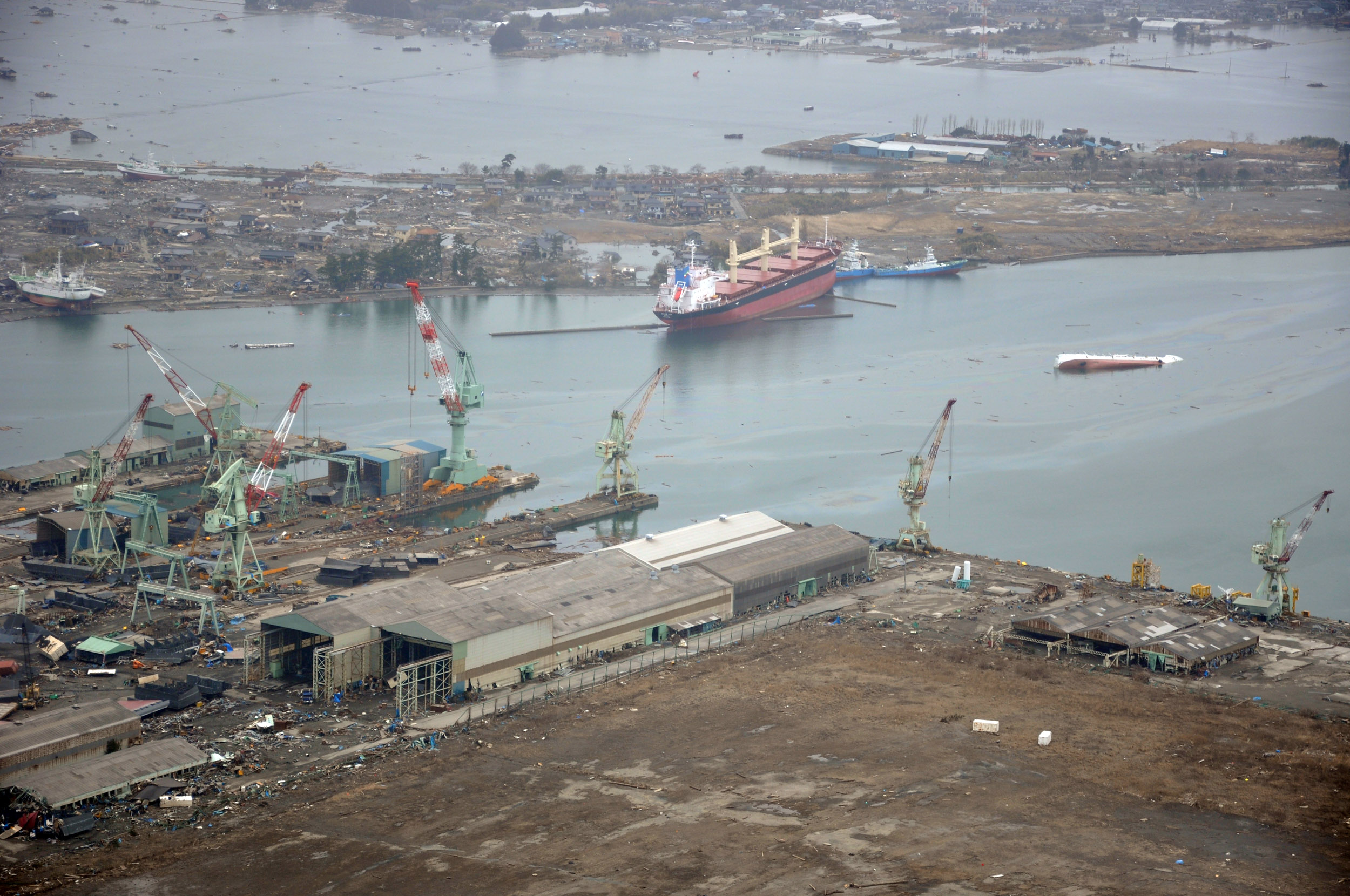
Recent Nearby Earthquakes
Magnitude 3.0 and greater
| Date▼ | Time↕ | Magnitude↕ | Distance↕ | Depth↕ | Location↕ | Link |
|---|---|---|---|---|---|---|
| 7/17/19 | 9:00 AM | 4.8 | 16.1 km | 76,950 m | 11km SW of Ofunato, Japan | usgs.gov |
| 5/18/19 | 1:18 AM | 4.8 | 12.7 km | 77,640 m | 15km SSE of Ofunato, Japan | usgs.gov |
| 3/6/19 | 6:43 PM | 4 | 14.3 km | 49,660 m | 19km SE of Ofunato, Japan | usgs.gov |
| 2/19/19 | 4:24 PM | 4.6 | 26 km | 71,290 m | 26km S of Ofunato, Japan | usgs.gov |
| 12/15/18 | 4:28 PM | 4.7 | 19.1 km | 60,610 m | 9km WSW of Kamaishi, Japan | usgs.gov |
| 12/3/18 | 2:45 AM | 4.3 | 21.1 km | 59,500 m | 28km ESE of Ofunato, Japan | usgs.gov |
| 11/26/18 | 1:04 PM | 4.5 | 20.1 km | 48,670 m | 24km SSE of Ofunato, Japan | usgs.gov |
| 7/14/18 | 9:13 AM | 4.2 | 19.7 km | 56,620 m | 25km SE of Ofunato, Japan | usgs.gov |
| 6/22/17 | 11:59 PM | 4.5 | 23.9 km | 39,830 m | 5km W of Kamaishi, Japan | usgs.gov |
| 7/4/16 | 4:42 AM | 4.3 | 27.2 km | 69,990 m | 31km SSE of Ofunato, Japan | usgs.gov |
Source: U.S. Geological Survey (USGS)
Ryori
Ryori is a launching site for sounding rockets in Japan at 39°02′N 141°50′E in Iwate Prefecture. Ryori has been in use since April 1970, but it is not used for launching satellites.
Ryori Wikipedia Page

About Our Data
The data on this page is estimated using a number of publicly available tools and resources. It is provided without warranty, and could contain inaccuracies. Use at your own risk.