Yumenoshima Facts
| Neighborhoods | Yumenoshima |
| Local Time | |
| Timezone | Japan Standard Time |
| Lat & Lng | 35.64966, 139.83004 |
| Postal Codes | 136 |
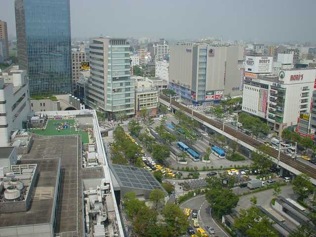
Map of Yumenoshima
Interactive Map
Recent Nearby Earthquakes
Magnitude 3.0 and greater
| Date▼ | Time↕ | Magnitude↕ | Distance↕ | Depth↕ | Location↕ | Link |
|---|---|---|---|---|---|---|
| 1/5/18 | 3:54 PM | 4.8 | 18.2 km | 73,410 m | 9km NW of Ichihara, Japan | usgs.gov |
| 1/2/18 | 10:48 AM | 4.5 | 20.2 km | 42,220 m | 7km NW of Ichihara, Japan | usgs.gov |
| 4/16/17 | 5:28 AM | 4.4 | 9.9 km | 118,650 m | 0km N of Shinagawa-ku, Japan | usgs.gov |
| 9/8/16 | 8:17 PM | 4.4 | 6.6 km | 9,520 m | 7km S of Urayasu, Japan | usgs.gov |
| 4/14/16 | 11:58 AM | 4.6 | 16.9 km | 47,070 m | 6km ESE of Komae, Japan | usgs.gov |
| 2/4/16 | 10:41 PM | 4.3 | 18.9 km | 29,310 m | 4km WNW of Kawasaki, Japan | usgs.gov |
| 9/11/15 | 8:49 PM | 5.1 | 17.6 km | 51,180 m | 14km N of Kisarazu, Japan | usgs.gov |
| 6/17/15 | 11:39 PM | 4.1 | 19.8 km | 59,160 m | 9km W of Ichihara, Japan | usgs.gov |
| 3/23/15 | 12:40 PM | 4.1 | 24.6 km | 81,500 m | 2km SW of Yoshikawa, Japan | usgs.gov |
| 12/31/14 | 2:49 PM | 4.5 | 16.1 km | 89,640 m | 0km SE of Matsudo, Japan | usgs.gov |
Source: U.S. Geological Survey (USGS)
Yumenoshima
Yumenoshima (夢の島, literally "Dream Island") is a district in Kōtō, Tokyo, Japan, consisting of an artificial island built using waste landfill.
Yumenoshima Wikipedia Page


About Our Data
The data on this page is estimated using a number of publicly available tools and resources. It is provided without warranty, and could contain inaccuracies. Use at your own risk.