Categories in Saryaghash
Car repairCar Repair and MaintenanceCar WashGas StationAgricultural ProductHaute Couture Fashion HouseJewelry BuyerMobile Network OperatorMobile phone storesAssociation or OrganizationFinance and TaxationGovernment OfficeMosquesReligionReligious OrganizationElectronics StoreAppliance StoreBuilding Materials StoreHardware storeHome Goods StoreHousing DevelopmentResidential BuildingCollegeEducationEducation CenterEducation otherKindergartenPrimary and elementary schoolsUniversities & CollegesVocational & Professional TrainingStadiums and arenasCafesCoffee ShopFast food restaurantsGrocery stores and supermarketsRestaurantsSpecialty & International FoodsFurniture storesAtm'sBanksFinancial InstitutionLoan companiesDental ClinicGeneral HospitalHospitalsMedical clinicMedical laboratoriesBeauty salonsPublic bathAdvertising AgencyLabor UnionSector-Specific OrganizationsApartment BuildingApartment ComplexBanquet HallCondominium ComplexReal Estate AgencyResidential Property RentalsDrug StoreLarge-Format RetailMarketPawn shopsPharmacyShoppingShopping MallShopping otherSupermarketGymPublic parksHealth ResortHoliday HomeHotels and motelsHousing SocietyResortTransportation logisticsTransportation ServiceWarehouseUnreachable
Industries
Business Distribution by Industry in Saryaghash
| Industry Description | Number of Establishments | Average Google Rating |
|---|---|---|
| Cafes | 11 | 4.1 |
| Shopping | 9 | 4.2 |
| Gas station | 7 | 3.7 |
| Restaurants | 5 | 4 |
| Public administration | 5 | 3.7 |
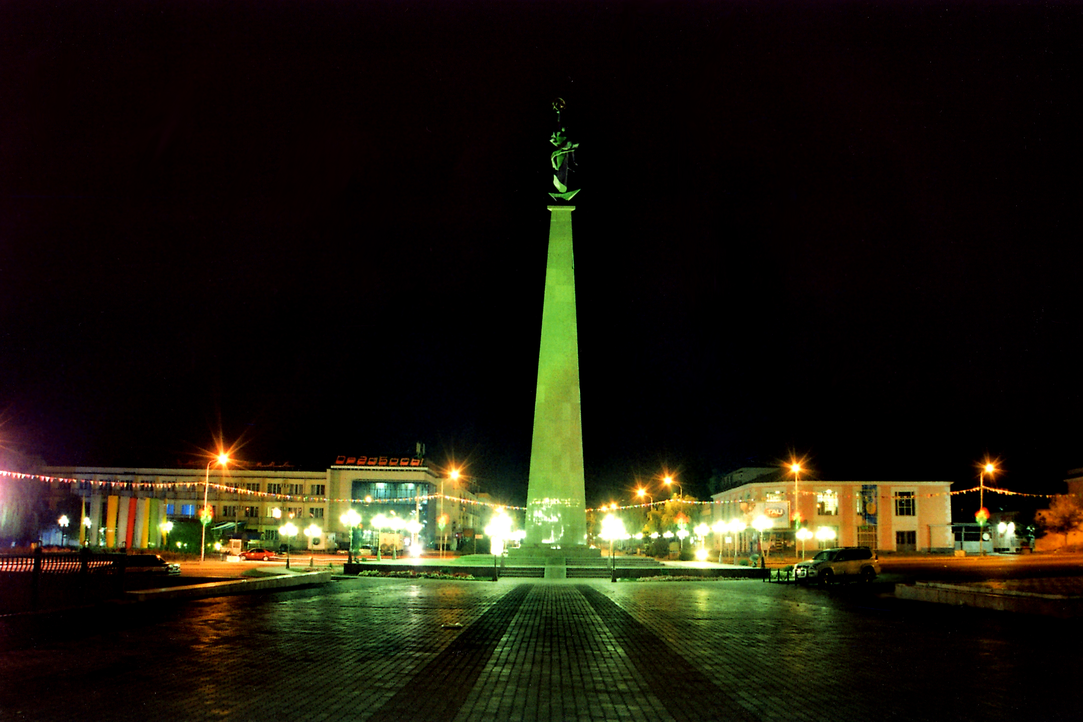
Saryaghash Facts
| Neighborhoods | Новостройка |
| Local Time | |
| Timezone | Kazakhstan Time |
| Lat & Lng | 41.46042, 69.16791 |
Map of Saryaghash
Interactive Map
Area Codes
Percentage Area Codes used by businesses in Saryaghash
Price Distribution
Business distribution by price for Saryaghash
Recent Nearby Earthquakes
Magnitude 3.0 and greater
| Date▼ | Time↕ | Magnitude↕ | Distance↕ | Depth↕ | Location↕ | Link |
|---|---|---|---|---|---|---|
| 3/13/19 | 9:32 PM | 4.8 | 18.7 km | 10,000 m | 18km WSW of Saryaghash, Kazakhstan | usgs.gov |
| 1/23/18 | 1:26 AM | 4.5 | 15.7 km | 12,290 m | 15km WSW of Saryaghash, Kazakhstan | usgs.gov |
| 5/28/16 | 7:10 PM | 4.6 | 95.9 km | 10,600 m | 20km SE of Shardara, Kazakhstan | usgs.gov |
| 1/14/16 | 3:24 AM | 4 | 12.9 km | 8,080 m | 10km NNE of Tashkent, Uzbekistan | usgs.gov |
| 1/8/16 | 11:02 PM | 4.3 | 56.8 km | 10,000 m | 16km NNW of Buka, Uzbekistan | usgs.gov |
| 3/13/15 | 1:43 PM | 4.5 | 74.2 km | 33,740 m | 9km W of Olmaliq, Uzbekistan | usgs.gov |
| 5/24/13 | 10:18 PM | 5.3 | 60.9 km | 19,200 m | 9km NNW of Buka, Uzbekistan | usgs.gov |
| 2/22/13 | 2:38 AM | 4.1 | 5.1 km | 12,800 m | 4km NW of Saryaghash, Kazakhstan | usgs.gov |
| 8/22/12 | 7:57 AM | 4.2 | 95.3 km | 10,000 m | Kazakhstan-Uzbekistan border region | usgs.gov |
| 8/22/08 | 8:26 AM | 4.4 | 2.9 km | 10,000 m | eastern Uzbekistan | usgs.gov |
Source: U.S. Geological Survey (USGS)
About Our Data
The data on this page is estimated using a number of publicly available tools and resources. It is provided without warranty, and could contain inaccuracies. Use at your own risk.