Arnoun Facts
| Local Time | |
| Timezone | Eastern European Summer Time |
| Lat & Lng | 33.33167, 35.52639 |
Map of Arnoun
Interactive Map
Recent Nearby Earthquakes
Magnitude 3.0 and greater
| Date▼ | Time↕ | Magnitude↕ | Distance↕ | Depth↕ | Location↕ | Link |
|---|---|---|---|---|---|---|
| 11/3/18 | 5:42 PM | 3.8 | 68.9 km | 32,140 m | 44km WNW of Sidon, Lebanon | usgs.gov |
| 7/4/18 | 7:45 PM | 4.7 | 59.8 km | 10,000 m | 5km SE of 'Eilabun, Israel | usgs.gov |
| 7/4/18 | 1:50 AM | 4 | 61.1 km | 10,000 m | 6km SSE of 'Eilabun, Israel | usgs.gov |
| 6/29/16 | 1:24 PM | 3.7 | 55.1 km | 13,850 m | 19km WSW of Beirut, Lebanon | usgs.gov |
| 9/1/14 | 8:50 PM | 4.4 | 75.9 km | 10,000 m | 4km S of Sirghaya, Syria | usgs.gov |
| 7/5/14 | 9:41 PM | 4 | 30.7 km | 12,700 m | 3km NE of Sidon, Lebanon | usgs.gov |
| 5/25/14 | 12:22 PM | 3.8 | 91.2 km | 21,550 m | 16km WNW of Jbail, Lebanon | usgs.gov |
| 10/20/13 | 12:54 PM | 3.5 | 52.8 km | 5,000 m | 8km NNE of Tiberias, Israel | usgs.gov |
| 7/10/09 | 6:19 PM | 4 | 16.9 km | 10,000 m | Lebanon - Syria region | usgs.gov |
| 8/13/08 | 6:05 AM | 3.2 | 96.3 km | 10,000 m | eastern Mediterranean Sea | usgs.gov |
Source: U.S. Geological Survey (USGS)
Arnoun
Arnoun (Arabic: ارنون, Hebrew: ארנון) is a majority Lebanese Shia village 7 kilometres (4.3 mi) south-east of Nabatiyeh, in Nabatiyeh Governorate, southern Lebanon. The village is located approximately 8 kilometres (5.0 mi) from the Israeli border...
Arnoun Wikipedia Page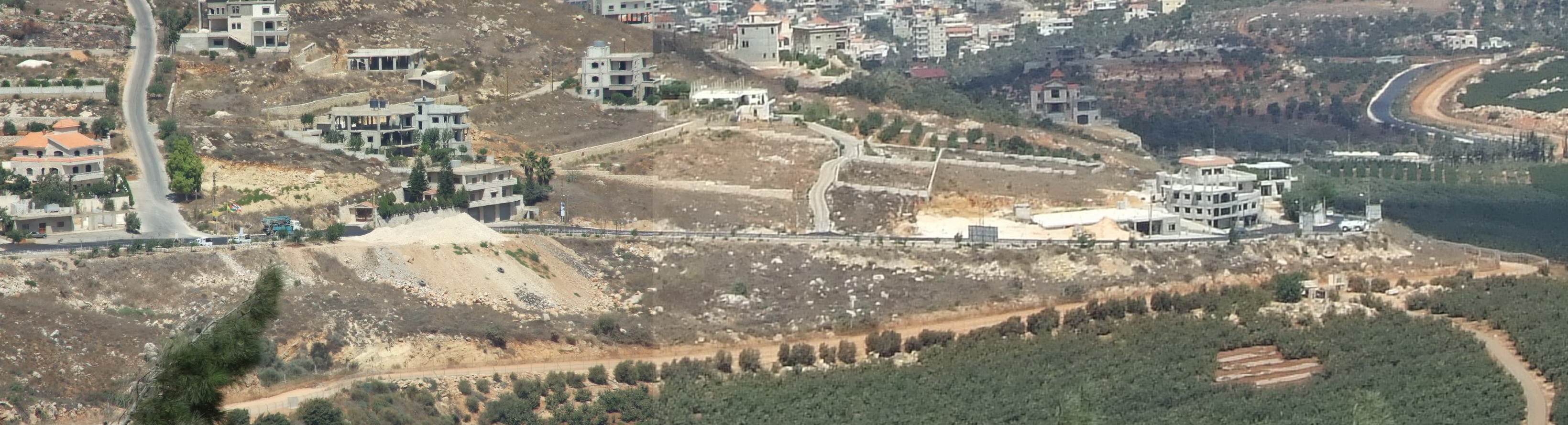


About Our Data
The data on this page is estimated using a number of publicly available tools and resources. It is provided without warranty, and could contain inaccuracies. Use at your own risk.