Industries
Business Distribution by Industry in Kaslik
| Industry Description | Number of Establishments | Average Google Rating |
|---|---|---|
| Shopping | 10 | 4 |
| Clothing stores | 5 | 4.4 |
Kaslik Facts
| Neighborhoods | Fanar |
| Local Time | |
| Timezone | Eastern European Summer Time |
| Lat & Lng | 33.98250, 35.62139 |
Map of Kaslik
Interactive Map
Area Codes
Percentage Area Codes used by businesses in Kaslik
Price Distribution
Business distribution by price for Kaslik
Recent Nearby Earthquakes
Magnitude 3.0 and greater
| Date▼ | Time↕ | Magnitude↕ | Distance↕ | Depth↕ | Location↕ | Link |
|---|---|---|---|---|---|---|
| 4/29/19 | 12:07 PM | 3.4 | 54.6 km | 10,000 m | 16km ESE of Bcharre, Lebanon | usgs.gov |
| 12/14/18 | 3:27 PM | 3.2 | 61.8 km | 10,000 m | 23km WNW of Tripoli, Lebanon | usgs.gov |
| 11/3/18 | 5:42 PM | 3.8 | 74.5 km | 32,140 m | 44km WNW of Sidon, Lebanon | usgs.gov |
| 6/29/16 | 1:24 PM | 3.7 | 35.3 km | 13,850 m | 19km WSW of Beirut, Lebanon | usgs.gov |
| 9/1/14 | 8:50 PM | 4.4 | 54.2 km | 10,000 m | 4km S of Sirghaya, Syria | usgs.gov |
| 7/5/14 | 9:41 PM | 4 | 48.6 km | 12,700 m | 3km NE of Sidon, Lebanon | usgs.gov |
| 5/25/14 | 12:22 PM | 3.8 | 23.3 km | 21,550 m | 16km WNW of Jbail, Lebanon | usgs.gov |
| 7/10/09 | 6:19 PM | 4 | 79.3 km | 10,000 m | Lebanon - Syria region | usgs.gov |
| 7/2/08 | 9:29 AM | 3.1 | 62.1 km | 20,100 m | Lebanon - Syria region | usgs.gov |
| 6/23/08 | 3:45 PM | 3 | 78.8 km | 1,000 m | Lebanon - Syria region | usgs.gov |
Source: U.S. Geological Survey (USGS)
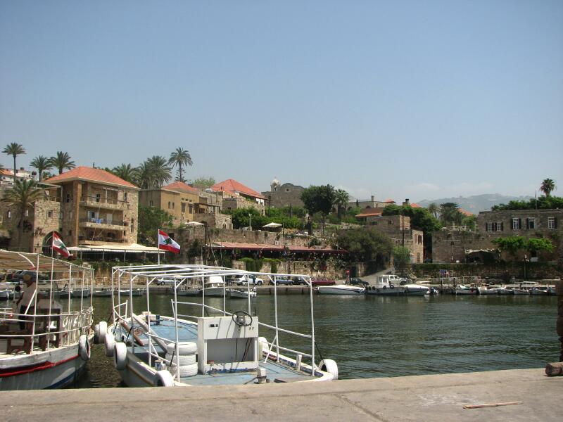
Kaslik
Kaslik (Arabic: كسليك ) is a heavily urbanized Lebanese Maronite town located in the Keserwan District of Mount Lebanon. The town is home to a variety of 18th century Limestone houses, and a number of historic churches. However, the area was also su..
Kaslik Wikipedia Page

About Our Data
The data on this page is estimated using a number of publicly available tools and resources. It is provided without warranty, and could contain inaccuracies. Use at your own risk.