Miniara Facts
| Local Time | |
| Timezone | Eastern European Summer Time |
| Lat & Lng | 34.53194, 36.05972 |
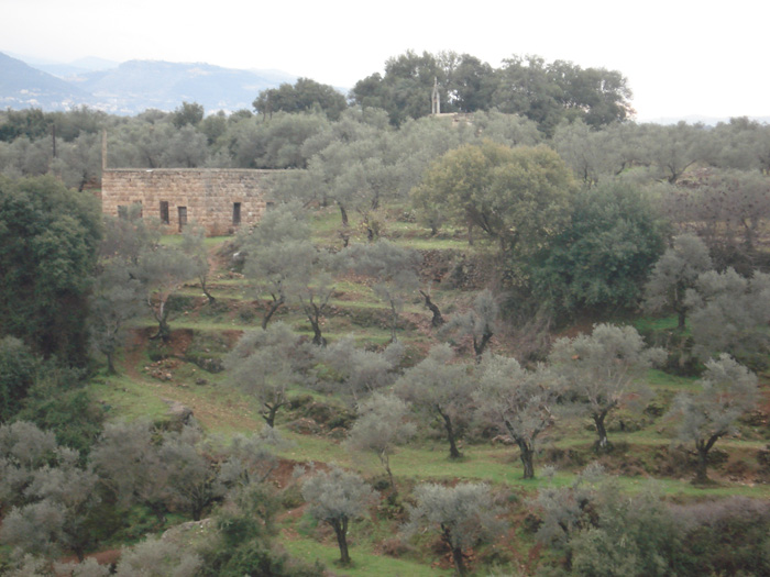
Map of Miniara
Interactive Map
Price Distribution
Business distribution by price for Miniara
Recent Nearby Earthquakes
Magnitude 3.0 and greater
| Date▼ | Time↕ | Magnitude↕ | Distance↕ | Depth↕ | Location↕ | Link |
|---|---|---|---|---|---|---|
| 4/29/19 | 12:07 PM | 3.4 | 40.7 km | 10,000 m | 16km ESE of Bcharre, Lebanon | usgs.gov |
| 12/14/18 | 3:27 PM | 3.2 | 40.4 km | 10,000 m | 23km WNW of Tripoli, Lebanon | usgs.gov |
| 9/1/14 | 8:50 PM | 4.4 | 84.6 km | 10,000 m | 4km S of Sirghaya, Syria | usgs.gov |
| 5/25/14 | 12:22 PM | 3.8 | 68.4 km | 21,550 m | 16km WNW of Jbail, Lebanon | usgs.gov |
| 4/11/06 | 5:21 AM | 3.9 | 81.4 km | 10,000 m | Lebanon - Syria region | usgs.gov |
| 3/29/06 | 10:05 PM | 5 | 98.6 km | 27,300 m | near the coast of Syria | usgs.gov |
| 2/8/04 | 11:21 AM | 4 | 73.3 km | 10,000 m | Lebanon - Syria region | usgs.gov |
| 4/29/01 | 12:41 PM | 4 | 70 km | 5,000 m | Lebanon - Syria region | usgs.gov |
| 6/20/99 | 10:44 AM | 3.7 | 70.8 km | 10,000 m | Lebanon - Syria region | usgs.gov |
| 10/30/97 | 5:34 PM | 4.2 | 93.7 km | 14,700 m | Lebanon - Syria region | usgs.gov |
Source: U.S. Geological Survey (USGS)
Miniara
Miniara (Arabic: منياره) (also transliterated Minyara) is a village in the Akkar District, North Lebanon, 9 kilometers east of the Mediterranean Sea, and 3 kilometers south of Halba. The population is between 7,000 and 10,000. Miniara is the birthpla..
Miniara Wikipedia Page

About Our Data
The data on this page is estimated using a number of publicly available tools and resources. It is provided without warranty, and could contain inaccuracies. Use at your own risk.