Categories in Mrouj
Mrouj Facts
| Local Time | |
| Timezone | Eastern European Summer Time |
| Lat & Lng | 33.91194, 35.74528 |
Map of Mrouj
Interactive Map
Recent Nearby Earthquakes
Magnitude 3.0 and greater
| Date▼ | Time↕ | Magnitude↕ | Distance↕ | Depth↕ | Location↕ | Link |
|---|---|---|---|---|---|---|
| 4/29/19 | 12:07 PM | 3.4 | 48.6 km | 10,000 m | 16km ESE of Bcharre, Lebanon | usgs.gov |
| 12/14/18 | 3:27 PM | 3.2 | 70.6 km | 10,000 m | 23km WNW of Tripoli, Lebanon | usgs.gov |
| 11/3/18 | 5:42 PM | 3.8 | 82 km | 32,140 m | 44km WNW of Sidon, Lebanon | usgs.gov |
| 6/29/16 | 1:24 PM | 3.7 | 42 km | 13,850 m | 19km WSW of Beirut, Lebanon | usgs.gov |
| 9/1/14 | 8:50 PM | 4.4 | 40.5 km | 10,000 m | 4km S of Sirghaya, Syria | usgs.gov |
| 7/5/14 | 9:41 PM | 4 | 48.4 km | 12,700 m | 3km NE of Sidon, Lebanon | usgs.gov |
| 5/25/14 | 12:22 PM | 3.8 | 36.6 km | 21,550 m | 16km WNW of Jbail, Lebanon | usgs.gov |
| 7/10/09 | 6:19 PM | 4 | 76.8 km | 10,000 m | Lebanon - Syria region | usgs.gov |
| 7/2/08 | 9:29 AM | 3.1 | 56.7 km | 20,100 m | Lebanon - Syria region | usgs.gov |
| 6/23/08 | 3:45 PM | 3 | 74.9 km | 1,000 m | Lebanon - Syria region | usgs.gov |
Source: U.S. Geological Survey (USGS)
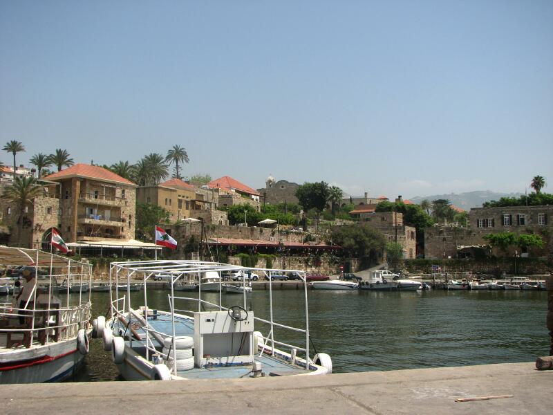
Mrouj
Mrouj (Arabic: المروج, also spelled Mrouje and El Mrouj) is a municipality in the Matn District of the Mount Lebanon Governorate of Lebanon. The English translation of Mrouj is "The Meadows"
Mrouj Wikipedia Page

About Our Data
The data on this page is estimated using a number of publicly available tools and resources. It is provided without warranty, and could contain inaccuracies. Use at your own risk.