Categories in Morija
Morija Facts
| Local Time | |
| Timezone | South Africa Standard Time |
| Lat & Lng | -29.62982, 27.51351 |
Map of Morija
Interactive Map
Recent Nearby Earthquakes
Magnitude 3.0 and greater
| Date▼ | Time↕ | Magnitude↕ | Distance↕ | Depth↕ | Location↕ | Link |
|---|---|---|---|---|---|---|
| 9/5/16 | 6:22 AM | 4.3 | 22.5 km | 5,000 m | 45km SSE of Maseru, Lesotho | usgs.gov |
| 1/27/02 | 10:09 PM | 4.3 | 59.9 km | 10,000 m | Lesotho | usgs.gov |
| 1/27/02 | 9:50 PM | 4.3 | 35.1 km | 10,000 m | Lesotho | usgs.gov |
| 2/8/95 | 11:26 PM | 3.7 | 44.6 km | 5,000 m | Lesotho | usgs.gov |
| 7/31/93 | 10:38 PM | 3.8 | 24.9 km | 10,000 m | Lesotho | usgs.gov |
| 5/31/87 | 11:59 AM | 3.6 | 74.2 km | 5,000 m | Lesotho | usgs.gov |
Source: U.S. Geological Survey (USGS)
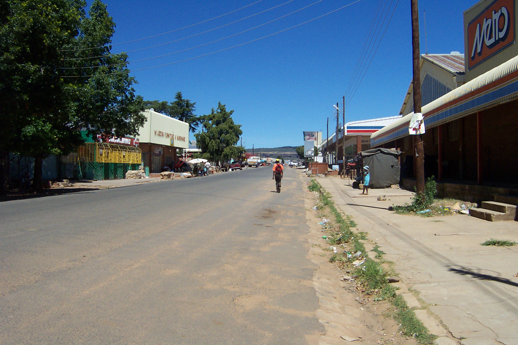
Morija
Morija is a town in western Lesotho, located 35 kilometres south of the capital, Maseru. Morija is one of Lesotho’s most important historical and cultural sites, known as the Selibeng sa Thut — the Well-Spring of Learning. It was the site of the firs..
Morija Wikipedia Page

About Our Data
The data on this page is estimated using a number of publicly available tools and resources. It is provided without warranty, and could contain inaccuracies. Use at your own risk.