Hollenfels Facts
| Neighborhoods | Hollenfels |
| Local Time | |
| Timezone | Central European Summer Time |
| Lat & Lng | 49.71306, 6.05083 |
| Postal Codes | 7435 |
Map of Hollenfels
Interactive Map
Recent Nearby Earthquakes
Magnitude 3.0 and greater
| Date▼ | Time↕ | Magnitude↕ | Distance↕ | Depth↕ | Location↕ | Link |
|---|---|---|---|---|---|---|
| 9/28/08 | 12:02 AM | 3 | 68.4 km | 1,000 m | Germany | usgs.gov |
| 2/23/08 | 3:30 PM | 4.5 | 69.4 km | 2,000 m | Germany | usgs.gov |
| 2/18/08 | 1:28 PM | 3.2 | 69.3 km | 1,000 m | Germany | usgs.gov |
| 2/13/08 | 1:56 PM | 3.3 | 63.8 km | 1,000 m | Germany | usgs.gov |
| 2/9/08 | 8:47 PM | 3.5 | 66.9 km | 1,000 m | Germany | usgs.gov |
| 2/4/08 | 12:44 AM | 3.4 | 68.7 km | 1,000 m | Germany | usgs.gov |
| 1/26/08 | 5:44 AM | 3.9 | 68.1 km | 1,000 m | Germany | usgs.gov |
| 1/26/08 | 4:19 AM | 3.8 | 65.1 km | 1,000 m | Germany | usgs.gov |
| 1/16/08 | 10:42 AM | 3.5 | 65.9 km | 1,000 m | Germany | usgs.gov |
| 1/10/08 | 11:17 AM | 3.5 | 68.7 km | 1,000 m | Germany | usgs.gov |
Source: U.S. Geological Survey (USGS)
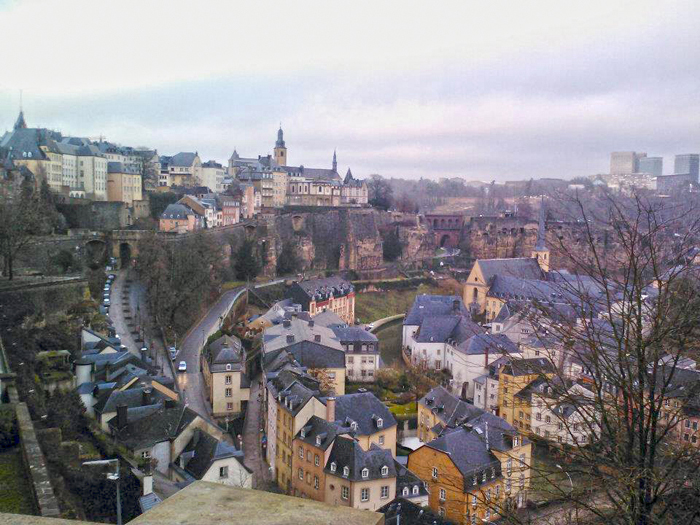
Hollenfels
Hollenfels (Luxembourgish: Huelmes) is a village in the commune of Tuntange, in western Luxembourg. As of 2005, the village has a population of 238. is famous for the huge keep of its imposing medieval castle overlooking the valley below.
Hollenfels Wikipedia Page

About Our Data
The data on this page is estimated using a number of publicly available tools and resources. It is provided without warranty, and could contain inaccuracies. Use at your own risk.