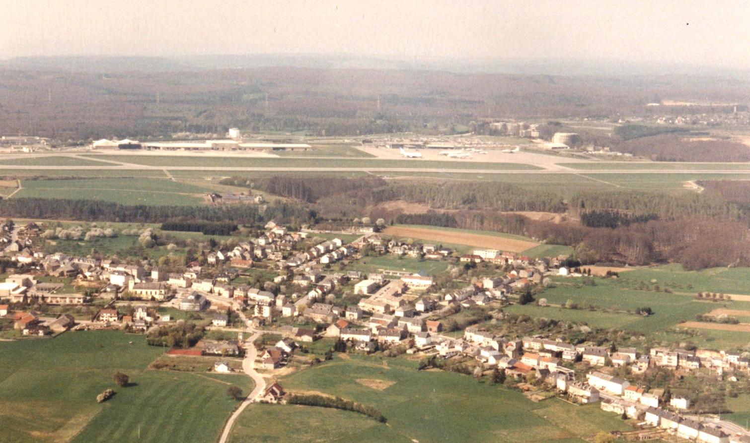
Map of Rodenbourg
Interactive Map
Recent Nearby Earthquakes
Magnitude 3.0 and greater
| Date▼ | Time↕ | Magnitude↕ | Distance↕ | Depth↕ | Location↕ | Link |
|---|---|---|---|---|---|---|
| 9/28/08 | 12:02 AM | 3 | 53.4 km | 1,000 m | Germany | usgs.gov |
| 2/23/08 | 3:30 PM | 4.5 | 53.6 km | 2,000 m | Germany | usgs.gov |
| 2/18/08 | 1:28 PM | 3.2 | 53.4 km | 1,000 m | Germany | usgs.gov |
| 2/13/08 | 1:56 PM | 3.3 | 48.2 km | 1,000 m | Germany | usgs.gov |
| 2/9/08 | 8:47 PM | 3.5 | 51.3 km | 1,000 m | Germany | usgs.gov |
| 2/4/08 | 12:44 AM | 3.4 | 52.9 km | 1,000 m | Germany | usgs.gov |
| 1/26/08 | 5:44 AM | 3.9 | 52.4 km | 1,000 m | Germany | usgs.gov |
| 1/26/08 | 4:19 AM | 3.8 | 49.5 km | 1,000 m | Germany | usgs.gov |
| 1/16/08 | 10:42 AM | 3.5 | 49.7 km | 1,000 m | Germany | usgs.gov |
| 1/10/08 | 11:17 AM | 3.5 | 52.9 km | 1,000 m | Germany | usgs.gov |
Source: U.S. Geological Survey (USGS)
Rodenbourg
Rodenbourg (Luxembourgish: Roudemer, German: Rodenburg) is a village in the commune of Junglinster, in central Luxembourg. As of 2001, the village has a population of 102. was a commune in the canton of Grevenmacher until 1 January 1979, when it was..
Rodenbourg Wikipedia Page

About Our Data
The data on this page is estimated using a number of publicly available tools and resources. It is provided without warranty, and could contain inaccuracies. Use at your own risk.