Roder Facts
| Local Time | |
| Timezone | Central European Summer Time |
| Lat & Lng | 50.05583, 6.08361 |
| Postal Codes | 9769 |
Map of Roder
Interactive Map
Recent Nearby Earthquakes
Magnitude 3.0 and greater
| Date▼ | Time↕ | Magnitude↕ | Distance↕ | Depth↕ | Location↕ | Link |
|---|---|---|---|---|---|---|
| 2/13/08 | 1:56 PM | 3.3 | 89.5 km | 1,000 m | Germany | usgs.gov |
| 1/26/08 | 4:19 AM | 3.8 | 90.8 km | 1,000 m | Germany | usgs.gov |
| 1/16/08 | 10:42 AM | 3.5 | 89.8 km | 1,000 m | Germany | usgs.gov |
| 12/22/07 | 9:07 PM | 3 | 92 km | 1,000 m | Germany | usgs.gov |
| 12/14/07 | 11:01 PM | 3.1 | 92.1 km | 1,000 m | Germany | usgs.gov |
| 12/11/07 | 8:29 PM | 3.7 | 92 km | 10,000 m | Germany | usgs.gov |
| 11/28/07 | 4:18 PM | 3.2 | 90 km | 1,000 m | Germany | usgs.gov |
| 11/26/07 | 5:27 PM | 3.9 | 87.7 km | 1,000 m | Germany | usgs.gov |
| 11/26/07 | 6:22 AM | 3.5 | 92.1 km | 1,000 m | Germany | usgs.gov |
| 11/25/07 | 3:10 AM | 3.7 | 45.9 km | 13,000 m | Belgium | usgs.gov |
Source: U.S. Geological Survey (USGS)
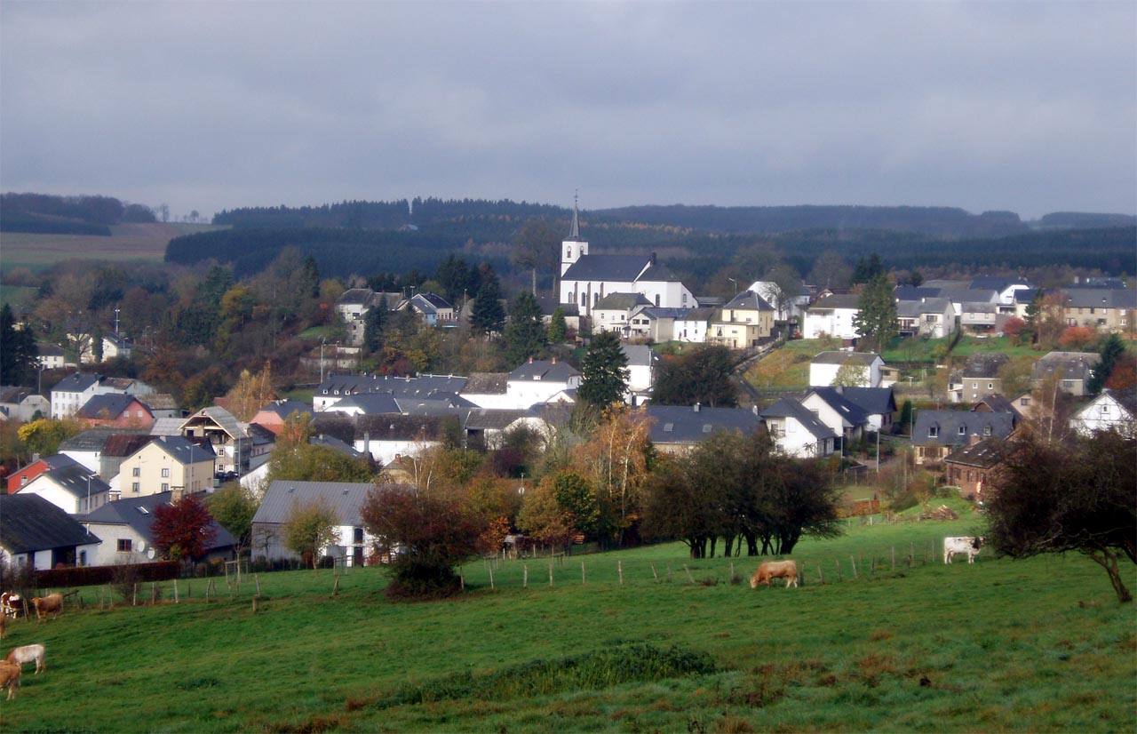
Roder
Roder (Luxembourgish: Rueder) is a village in the commune of Munshausen, in northern Luxembourg. As of 2015, the village has a population of 66.
Roder Wikipedia Page


About Our Data
The data on this page is estimated using a number of publicly available tools and resources. It is provided without warranty, and could contain inaccuracies. Use at your own risk.