Aingdo Facts
| Local Time | |
| Timezone | Myanmar Time |
| Lat & Lng | 20.64226, 95.81345 |
Map of Aingdo
Interactive Map
Recent Nearby Earthquakes
Magnitude 3.0 and greater
| Date▼ | Time↕ | Magnitude↕ | Distance↕ | Depth↕ | Location↕ | Link |
|---|---|---|---|---|---|---|
| 11/5/18 | 7:48 PM | 4.6 | 87.4 km | 10,000 m | 13km SSW of Taungdwingyi, Burma | usgs.gov |
| 6/27/18 | 1:02 PM | 4.7 | 96 km | 10,000 m | 9km N of Nay Pyi Taw, Burma | usgs.gov |
| 3/7/18 | 9:13 PM | 4.8 | 90.7 km | 10,000 m | 22km WNW of Nay Pyi Taw, Burma | usgs.gov |
| 3/7/16 | 3:13 AM | 4.6 | 90.3 km | 100,990 m | 24km ENE of Chauk, Burma | usgs.gov |
| 2/28/11 | 12:55 AM | 4.6 | 88.8 km | 117,400 m | Myanmar | usgs.gov |
| 3/6/10 | 7:11 PM | 4.4 | 88.8 km | 33,400 m | Myanmar | usgs.gov |
| 1/16/09 | 9:31 AM | 4.4 | 99.5 km | 109,300 m | Myanmar | usgs.gov |
| 4/16/07 | 5:02 PM | 4.5 | 26.6 km | 23,100 m | Myanmar | usgs.gov |
| 3/6/06 | 3:22 PM | 4.2 | 74.1 km | 65,200 m | Myanmar | usgs.gov |
| 8/5/05 | 9:47 AM | 4.3 | 69.1 km | 100,000 m | Myanmar | usgs.gov |
Source: U.S. Geological Survey (USGS)
Aingdo
Aingdo is a village in the Mandalay Region of north-west Myanmar. It lies in Pyawbwe Township in the Yamethin District.
Aingdo Wikipedia Page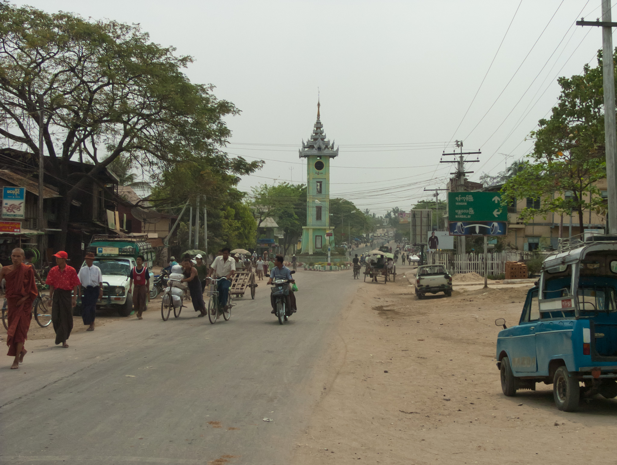


About Our Data
The data on this page is estimated using a number of publicly available tools and resources. It is provided without warranty, and could contain inaccuracies. Use at your own risk.