Andin Facts
| Local Time | |
| Timezone | Myanmar Time |
| Lat & Lng | 15.34684, 97.75229 |
Map of Andin
Interactive Map
Recent Nearby Earthquakes
Magnitude 3.0 and greater
| Date▼ | Time↕ | Magnitude↕ | Distance↕ | Depth↕ | Location↕ | Link |
|---|---|---|---|---|---|---|
| 7/14/15 | 2:25 PM | 4.4 | 81.8 km | 14,210 m | 4km SSE of Sangkhla Buri, Thailand | usgs.gov |
| 6/29/86 | 7:19 PM | 3.9 | 87.4 km | 10,000 m | near the south coast of Myanmar | usgs.gov |
Source: U.S. Geological Survey (USGS)
Andin
Andin is a village in Ye Township in the Mon State of south-east Burma. It is located approximately 16 kilometres north-west of Ye city. towns and villages include Daminzeik Auk (12.1 nm), Hnyigarok (1.0 nm), Thingangyun (2.2 nm), Awainggale (3.5 nm..
Andin Wikipedia Page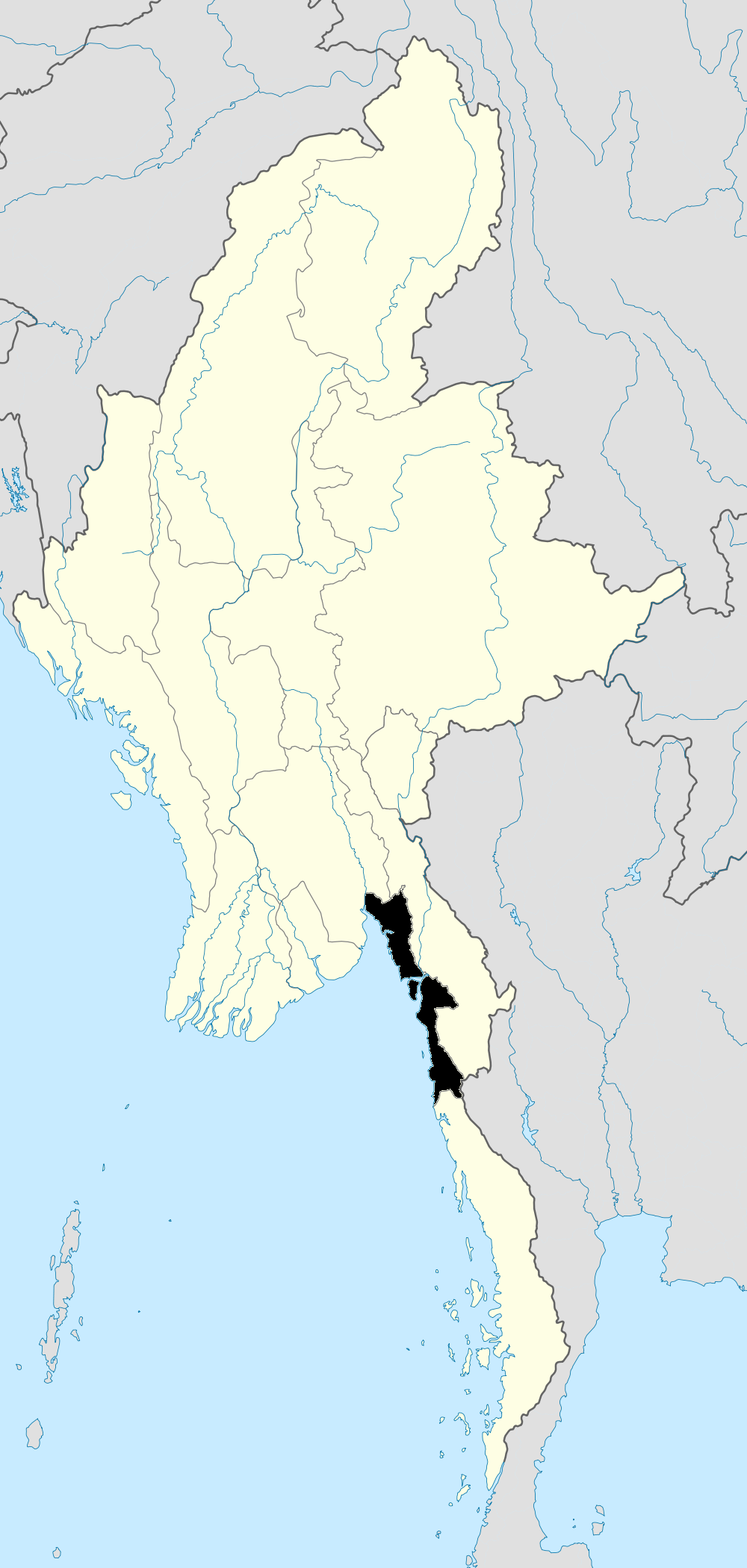
About Our Data
The data on this page is estimated using a number of publicly available tools and resources. It is provided without warranty, and could contain inaccuracies. Use at your own risk.