Kawdut Facts
| Local Time | |
| Timezone | Myanmar Time |
| Lat & Lng | 15.51650, 97.78205 |
Map of Kawdut
Interactive Map
Recent Nearby Earthquakes
Magnitude 3.0 and greater
| Date▼ | Time↕ | Magnitude↕ | Distance↕ | Depth↕ | Location↕ | Link |
|---|---|---|---|---|---|---|
| 7/14/15 | 2:25 PM | 4.4 | 86.7 km | 14,210 m | 4km SSE of Sangkhla Buri, Thailand | usgs.gov |
| 6/29/86 | 7:19 PM | 3.9 | 92.4 km | 10,000 m | near the south coast of Myanmar | usgs.gov |
Source: U.S. Geological Survey (USGS)
Kawdut
Kawdut is a large village in Ye Township in Mawlamyine District in the Mon State of south-east Myanmar. Kawdut is on the coastal plain about 6 kilometres (3.7 mi) west of Lamaing. The Kawdut Ferry is about 1.7 km north-west of the village on the Kawd..
Kawdut Wikipedia Page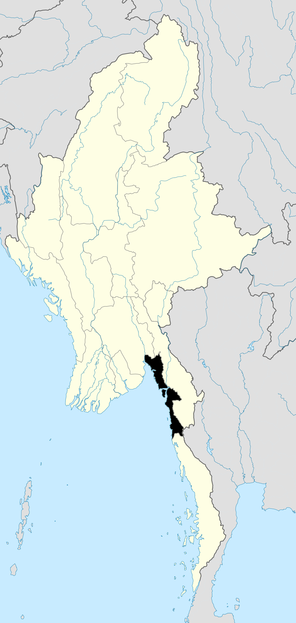
About Our Data
The data on this page is estimated using a number of publicly available tools and resources. It is provided without warranty, and could contain inaccuracies. Use at your own risk.