Categories in Kyaikto
Kyaikto Facts
| Local Time | |
| Timezone | Myanmar Time |
| Lat & Lng | 17.30858, 97.01124 |
Map of Kyaikto
Interactive Map
Area Codes
Percentage Area Codes used by businesses in Kyaikto
Recent Nearby Earthquakes
Magnitude 3.0 and greater
| Date▼ | Time↕ | Magnitude↕ | Distance↕ | Depth↕ | Location↕ | Link |
|---|---|---|---|---|---|---|
| 1/12/16 | 2:59 PM | 4.4 | 99.4 km | 50,560 m | 21km SSW of Thongwa, Burma | usgs.gov |
| 11/28/14 | 1:09 AM | 4.4 | 70.6 km | 15,390 m | 8km NE of Thanatpin, Burma | usgs.gov |
| 4/19/07 | 10:43 AM | 4.5 | 99.5 km | 10,000 m | Myanmar | usgs.gov |
| 11/29/04 | 10:24 AM | 4.3 | 74.1 km | 85,000 m | near the south coast of Myanmar | usgs.gov |
| 8/18/02 | 9:07 PM | 4.4 | 68.5 km | 33,000 m | Myanmar | usgs.gov |
| 11/30/98 | 12:00 PM | 4.5 | 99 km | 10,000 m | Myanmar | usgs.gov |
| 3/28/96 | 1:39 PM | 4.2 | 55.2 km | 33,000 m | Myanmar | usgs.gov |
| 5/16/95 | 9:48 PM | 6.1 | 87.9 km | 11,400 m | Myanmar | usgs.gov |
| 8/19/94 | 9:02 PM | 5.8 | 97.1 km | 12,300 m | Myanmar | usgs.gov |
| 5/29/83 | 1:44 PM | 4.8 | 74.7 km | 22,500 m | Myanmar | usgs.gov |
Source: U.S. Geological Survey (USGS)
Kyaikto
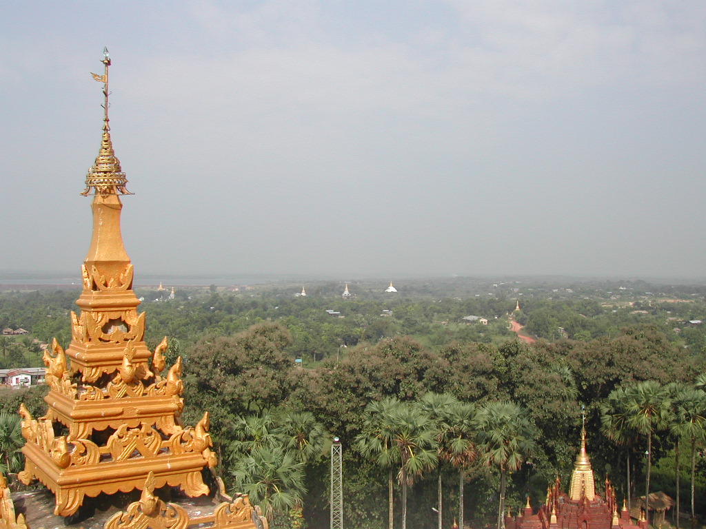
Kyaikto (Burmese: ကျိုက်ထိုမြို့; Mon: ကျာ်ထဝ်) is a town in the Mon State of south-east Myanmar. It is part of the Kyaikto Township in Thaton District. It is the nearest town to the Kyaiktiyo Pagoda (or the Golden Rock), a famous landmark in Myanmar..
Kyaikto Wikipedia Page


About Our Data
The data on this page is estimated using a number of publicly available tools and resources. It is provided without warranty, and could contain inaccuracies. Use at your own risk.