Mawchi Facts
| Local Time | |
| Timezone | Myanmar Time |
| Lat & Lng | 18.82436, 97.15510 |
Map of Mawchi
Interactive Map
Recent Nearby Earthquakes
Magnitude 3.0 and greater
| Date▼ | Time↕ | Magnitude↕ | Distance↕ | Depth↕ | Location↕ | Link |
|---|---|---|---|---|---|---|
| 6/2/16 | 6:02 AM | 4.6 | 74.6 km | 10,000 m | 10km ENE of Pyu, Burma | usgs.gov |
| 4/10/13 | 10:05 PM | 4.6 | 34.4 km | 10,000 m | 47km W of Khun Yuam, Thailand | usgs.gov |
| 5/18/08 | 1:17 AM | 4 | 99.3 km | 10,000 m | Myanmar | usgs.gov |
| 5/29/95 | 1:28 AM | 4 | 68.8 km | 33,000 m | Myanmar-Thailand border region | usgs.gov |
| 10/28/92 | 7:02 AM | 5.4 | 94.6 km | 33,800 m | Myanmar | usgs.gov |
| 11/5/91 | 2:11 AM | 3.9 | 86.5 km | 10,000 m | Myanmar | usgs.gov |
| 9/28/89 | 10:09 PM | 4.6 | 80 km | 33,000 m | Myanmar | usgs.gov |
| 12/24/85 | 11:04 PM | 4.2 | 47.9 km | 10,000 m | Myanmar-Thailand border region | usgs.gov |
| 7/15/85 | 10:38 AM | 5 | 48.5 km | 33,000 m | Myanmar | usgs.gov |
| 7/22/83 | 4:21 PM | 4.6 | 49.4 km | 33,000 m | Myanmar | usgs.gov |
Source: U.S. Geological Survey (USGS)
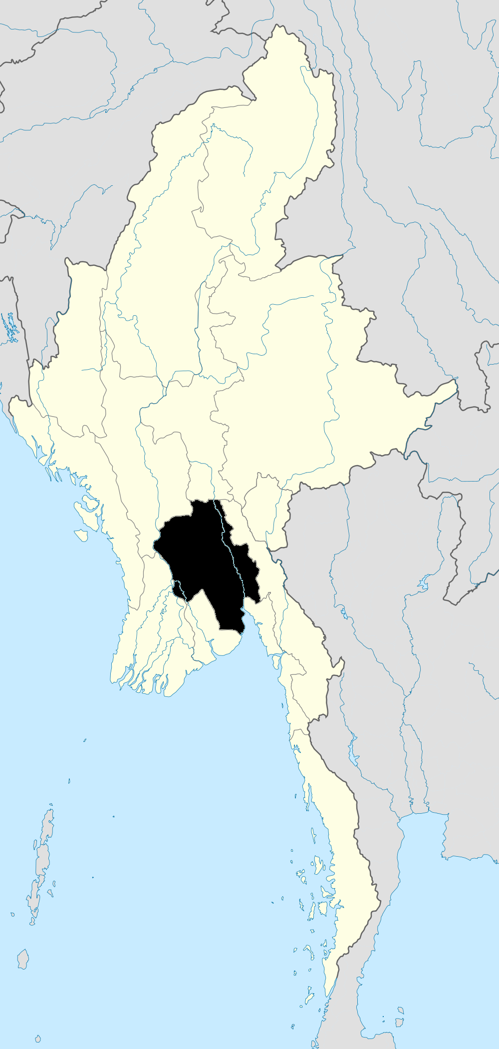
Mawchi
Mawachi a location in the Bawlake district of the Kayah State (also called Karenni State) is a state of Myanmar and formerly in the Karenni States of Burma. In the 1930s, the Mawchi Mine was the most important source of tungsten in the world.
Mawchi Wikipedia Page

About Our Data
The data on this page is estimated using a number of publicly available tools and resources. It is provided without warranty, and could contain inaccuracies. Use at your own risk.