Myothit Facts
| Local Time | |
| Timezone | Myanmar Time |
| Lat & Lng | 20.19884, 95.44533 |
Map of Myothit
Interactive Map
Recent Nearby Earthquakes
Magnitude 3.0 and greater
| Date▼ | Time↕ | Magnitude↕ | Distance↕ | Depth↕ | Location↕ | Link |
|---|---|---|---|---|---|---|
| 11/5/18 | 7:48 PM | 4.6 | 31.8 km | 10,000 m | 13km SSW of Taungdwingyi, Burma | usgs.gov |
| 6/27/18 | 1:02 PM | 4.7 | 83.3 km | 10,000 m | 9km N of Nay Pyi Taw, Burma | usgs.gov |
| 3/7/18 | 9:13 PM | 4.8 | 65.6 km | 10,000 m | 22km WNW of Nay Pyi Taw, Burma | usgs.gov |
| 1/21/17 | 9:49 PM | 4.3 | 83.2 km | 71,980 m | 40km SSW of Magway, Burma | usgs.gov |
| 3/7/16 | 3:13 AM | 4.6 | 97 km | 100,990 m | 24km ENE of Chauk, Burma | usgs.gov |
| 11/10/14 | 10:34 AM | 4.6 | 98.2 km | 67,460 m | 32km WNW of Thayetmyo, Burma | usgs.gov |
| 8/17/14 | 11:10 PM | 4.2 | 58.4 km | 32,610 m | 35km SSE of Taungdwingyi, Burma | usgs.gov |
| 12/23/13 | 4:16 PM | 4.8 | 84.7 km | 93,960 m | 19km WNW of Yenangyaung, Burma | usgs.gov |
| 4/12/13 | 6:32 AM | 4.3 | 76.6 km | 16,200 m | 31km WSW of Nay Pyi Taw, Burma | usgs.gov |
| 12/18/12 | 1:32 AM | 4.4 | 98.3 km | 38,300 m | Myanmar | usgs.gov |
Source: U.S. Geological Survey (USGS)
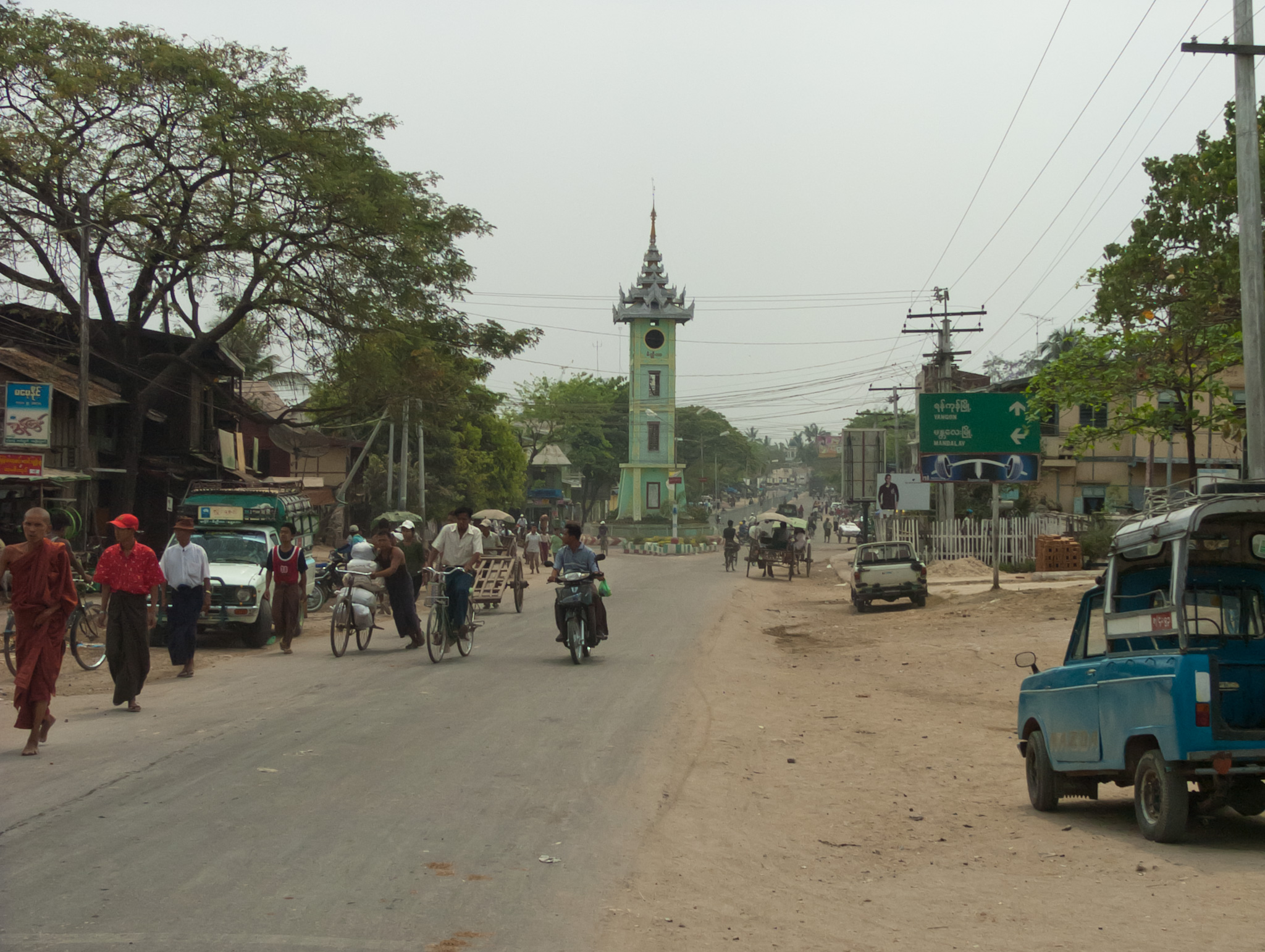
Myothit
Myothit (Burmese: မြို့သစ်) is a town of Myothit Township in Magway District in the Magway Division in Myanmar.
Myothit Wikipedia Page

About Our Data
The data on this page is estimated using a number of publicly available tools and resources. It is provided without warranty, and could contain inaccuracies. Use at your own risk.