Natmauk Facts
| Area Codes | 63 |
| Local Time | |
| Timezone | Myanmar Time |
| Lat & Lng | 20.34792, 95.40053 |
Map of Natmauk
Interactive Map
Recent Nearby Earthquakes
Magnitude 3.0 and greater
| Date▼ | Time↕ | Magnitude↕ | Distance↕ | Depth↕ | Location↕ | Link |
|---|---|---|---|---|---|---|
| 11/5/18 | 7:48 PM | 4.6 | 48.9 km | 10,000 m | 13km SSW of Taungdwingyi, Burma | usgs.gov |
| 6/27/18 | 1:02 PM | 4.7 | 96.2 km | 10,000 m | 9km N of Nay Pyi Taw, Burma | usgs.gov |
| 3/7/18 | 9:13 PM | 4.8 | 80.2 km | 10,000 m | 22km WNW of Nay Pyi Taw, Burma | usgs.gov |
| 1/21/17 | 9:49 PM | 4.3 | 89.2 km | 71,980 m | 40km SSW of Magway, Burma | usgs.gov |
| 8/24/16 | 10:57 AM | 4.5 | 100 km | 93,150 m | 16km WNW of Chauk, Burma | usgs.gov |
| 3/7/16 | 3:13 AM | 4.6 | 80.2 km | 100,990 m | 24km ENE of Chauk, Burma | usgs.gov |
| 8/17/14 | 11:10 PM | 4.2 | 75.5 km | 32,610 m | 35km SSE of Taungdwingyi, Burma | usgs.gov |
| 12/23/13 | 4:16 PM | 4.8 | 73.8 km | 93,960 m | 19km WNW of Yenangyaung, Burma | usgs.gov |
| 4/12/13 | 6:32 AM | 4.3 | 92.8 km | 16,200 m | 31km WSW of Nay Pyi Taw, Burma | usgs.gov |
| 5/8/12 | 11:12 PM | 4.4 | 77.2 km | 79,800 m | Myanmar | usgs.gov |
Source: U.S. Geological Survey (USGS)
Natmauk
Natmauk (Burmese: နတ်မောက်) is a town in Magway District, in eastern Magway Region of Burma (Myanmar), on the Yin River. It is the administrative seat of Natmauk Township. Natmauk is famous for being the birthplace and hometown of the Burmese indepen..
Natmauk Wikipedia Page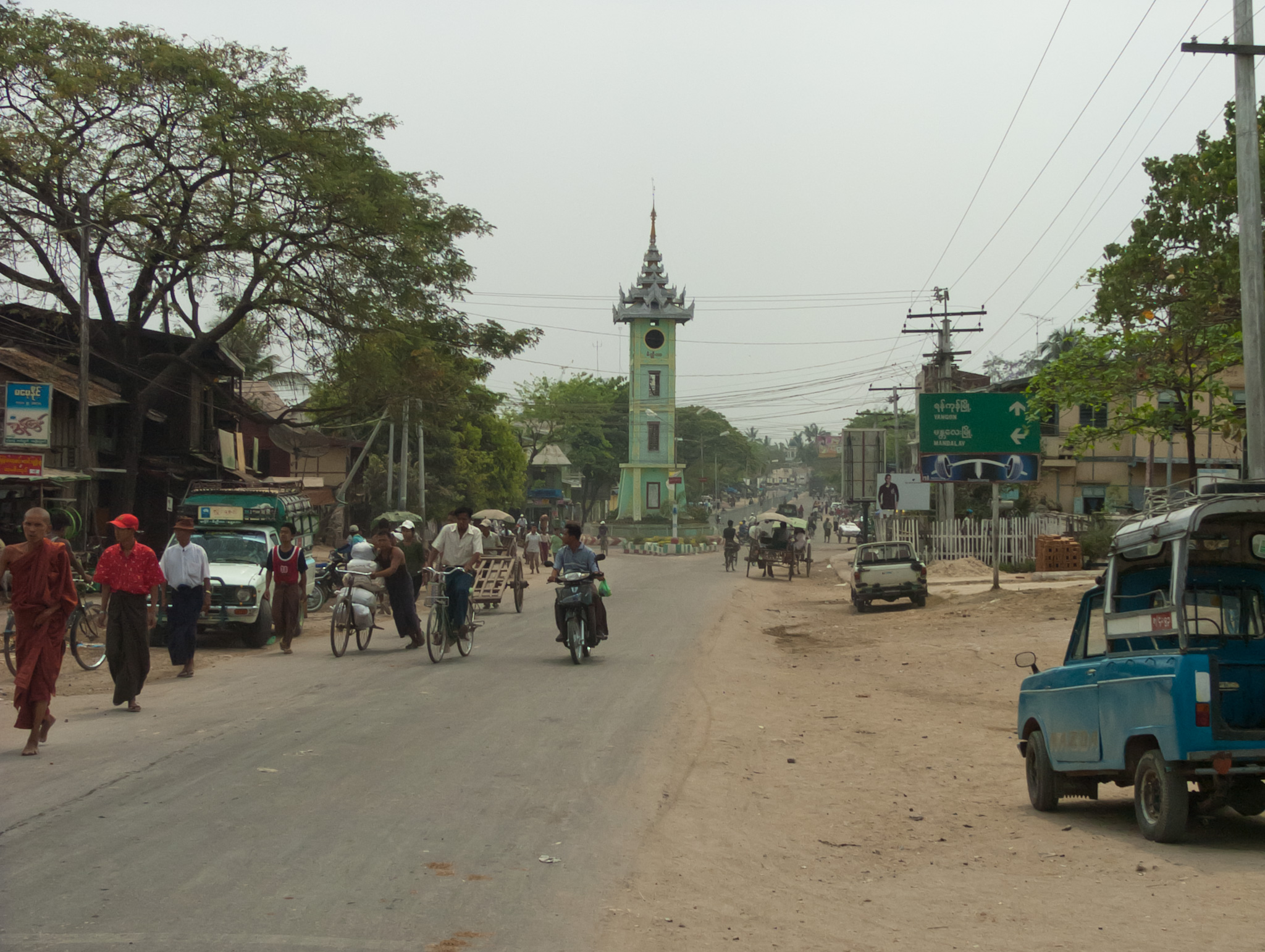


About Our Data
The data on this page is estimated using a number of publicly available tools and resources. It is provided without warranty, and could contain inaccuracies. Use at your own risk.