Categories in Paungde Township
Car WashMechanicMotorcycle Parts StoreMotorcycle repairMotorcycle ShopFood Manufacturing SupplyGoldsmithRice MillClothing storesJewelers and watchesMobile phone storesBuddhist templeFederal Government OfficeGovernment OfficeMonasteryPagodaVillage HallElectronics StoreMobile Phone Repair ShopPhone Repair ServiceCabinet StoreHardware storeHome Goods StoreEducationElementary SchoolBarbecue RestaurantGrocery stores and supermarketsRestaurantsRice ShopSalad ShopTea HouseBanksCemeteryPediatriciansHair SalonApartment BuildingApartment ComplexHousing ComplexConvenience storesFarm and ranchLiquor StoreMarketPen StorePharmacyShoppingTobacco ShopMemorial ParkBus Ticket AgencyGuest HouseHotels and motelsHousing SocietyLodgingUnreachable
Paungde Township Facts
| Area Codes | 53 |
| Local Time | |
| Timezone | Myanmar Time |
| Lat & Lng | 18.49167, 95.50591 |
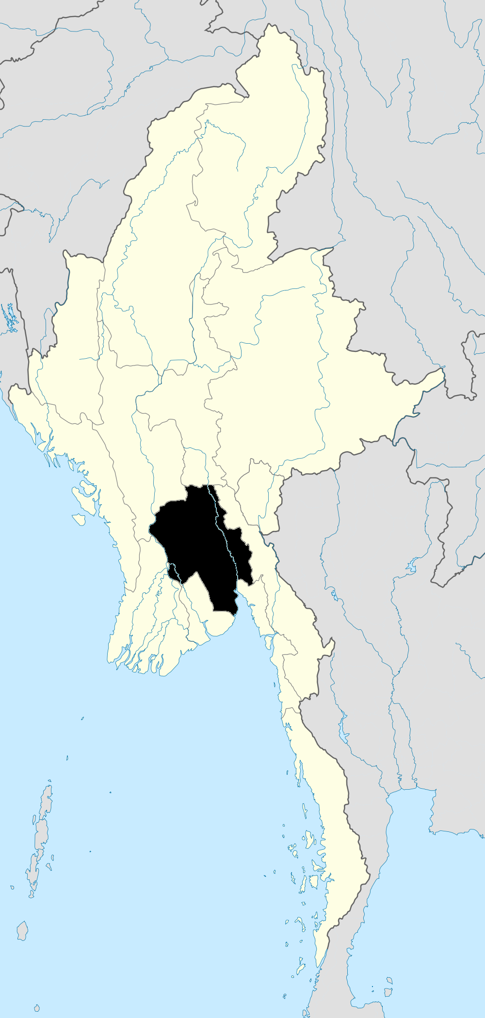
Map of Paungde Township
Interactive Map
Recent Nearby Earthquakes
Magnitude 3.0 and greater
| Date▼ | Time↕ | Magnitude↕ | Distance↕ | Depth↕ | Location↕ | Link |
|---|---|---|---|---|---|---|
| 8/18/19 | 3:38 AM | 4.7 | 94.8 km | 54,670 m | 73km WSW of Prome, Burma | usgs.gov |
| 6/18/19 | 4:28 AM | 4.8 | 93 km | 16,190 m | 41km ENE of Letpandan, Burma | usgs.gov |
| 2/17/19 | 8:22 AM | 4.1 | 69.4 km | 35,000 m | 46km W of Myanaung, Burma | usgs.gov |
| 1/28/19 | 3:52 AM | 4.5 | 66.9 km | 27,660 m | 45km SW of Pyu, Burma | usgs.gov |
| 10/27/18 | 9:16 AM | 4.9 | 67.2 km | 10,000 m | 53km NE of Prome, Burma | usgs.gov |
| 10/10/18 | 10:28 AM | 5.1 | 60.9 km | 10,000 m | 47km ENE of Prome, Burma | usgs.gov |
| 10/5/18 | 9:43 AM | 4.2 | 50.7 km | 10,000 m | 41km ENE of Prome, Burma | usgs.gov |
| 9/8/18 | 11:36 AM | 4.5 | 67.3 km | 10,000 m | 60km ENE of Prome, Burma | usgs.gov |
| 7/13/18 | 12:07 PM | 4.7 | 87.7 km | 10,000 m | 43km WNW of Prome, Burma | usgs.gov |
| 6/27/18 | 10:46 PM | 4.4 | 90.9 km | 10,000 m | 47km WNW of Prome, Burma | usgs.gov |
Source: U.S. Geological Survey (USGS)
Paungde Township
Paungde Township is a township in Pyay District in the Bago Region of Burma. The principal town is Paungde.
Paungde Township Wikipedia Page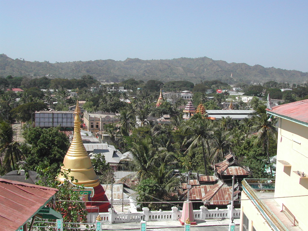

About Our Data
The data on this page is estimated using a number of publicly available tools and resources. It is provided without warranty, and could contain inaccuracies. Use at your own risk.