Pyinzi Facts
| Local Time | |
| Timezone | Myanmar Time |
| Lat & Lng | 21.37916, 95.87055 |
Map of Pyinzi
Interactive Map
Recent Nearby Earthquakes
Magnitude 3.0 and greater
| Date▼ | Time↕ | Magnitude↕ | Distance↕ | Depth↕ | Location↕ | Link |
|---|---|---|---|---|---|---|
| 11/4/17 | 8:29 PM | 4.3 | 59.6 km | 34,870 m | 41km W of Sagaing, Burma | usgs.gov |
| 8/1/16 | 10:01 AM | 5.1 | 97.8 km | 131,470 m | 17km W of Pakokku, Burma | usgs.gov |
| 3/7/16 | 3:13 AM | 4.6 | 98.4 km | 100,990 m | 24km ENE of Chauk, Burma | usgs.gov |
| 11/27/14 | 11:17 AM | 4.1 | 80.4 km | 22,230 m | 23km NW of Mandalay, Burma | usgs.gov |
| 8/10/04 | 9:10 PM | 4.1 | 87.7 km | 100,500 m | Myanmar | usgs.gov |
| 11/18/02 | 9:59 PM | 4 | 84.2 km | 63,700 m | Myanmar | usgs.gov |
| 9/29/01 | 5:44 PM | 4.5 | 66.7 km | 33,000 m | Myanmar | usgs.gov |
| 8/21/01 | 8:17 PM | 4 | 71.9 km | 33,000 m | Myanmar | usgs.gov |
| 8/4/01 | 3:25 PM | 4.4 | 78.3 km | 150,800 m | Myanmar | usgs.gov |
| 2/11/97 | 1:58 AM | 4 | 63.3 km | 119,400 m | Myanmar | usgs.gov |
Source: U.S. Geological Survey (USGS)
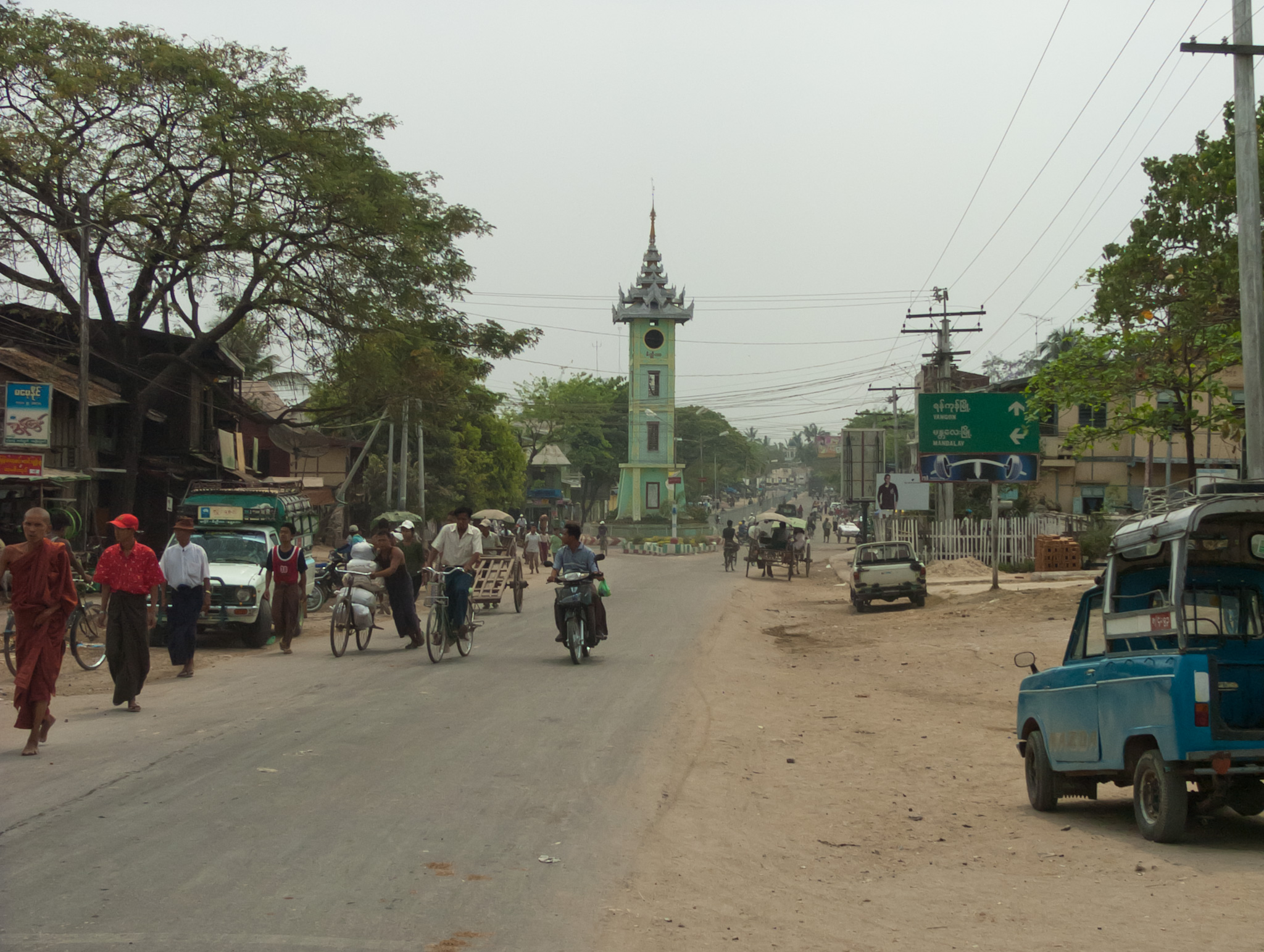
Pyinzi
Pyinzi is a town in eastern Myingyan District in the center of the Mandalay Region in Burma (Myanmar). It is located at the crossroads where Route 2 goes west to Natogyi, Route 2 goes east to Myittha, and a secondary highway goes south to Kokkosu and..
Pyinzi Wikipedia Page

About Our Data
The data on this page is estimated using a number of publicly available tools and resources. It is provided without warranty, and could contain inaccuracies. Use at your own risk.