Yenatha Facts
| Local Time | |
| Timezone | Myanmar Time |
| Lat & Lng | 23.22889, 94.18304 |
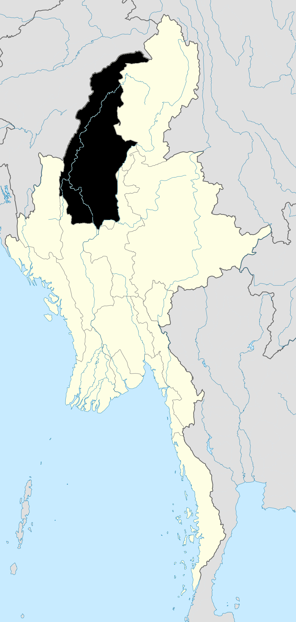
Map of Yenatha
Interactive Map
Recent Nearby Earthquakes
Magnitude 3.0 and greater
| Date▼ | Time↕ | Magnitude↕ | Distance↕ | Depth↕ | Location↕ | Link |
|---|---|---|---|---|---|---|
| 3/13/19 | 1:44 PM | 4.5 | 34.1 km | 79,790 m | 28km ENE of Falam, Burma | usgs.gov |
| 11/29/18 | 3:57 AM | 4.5 | 33.6 km | 84,060 m | 19km SW of Mawlaik, Burma | usgs.gov |
| 11/19/18 | 7:03 PM | 4.3 | 22.1 km | 10,000 m | 29km SSW of Mawlaik, Burma | usgs.gov |
| 1/3/17 | 6:49 PM | 5.1 | 34.2 km | 88,620 m | 36km SSE of Mawlaik, Burma | usgs.gov |
| 10/7/16 | 7:28 PM | 4.5 | 5 km | 37,840 m | 55km SSW of Mawlaik, Burma | usgs.gov |
| 5/6/16 | 3:06 AM | 4.1 | 24.1 km | 26,820 m | 26km SSW of Mawlaik, Burma | usgs.gov |
| 9/25/15 | 8:28 PM | 4.1 | 35.3 km | 90,410 m | 54km S of Mawlaik, Burma | usgs.gov |
| 9/18/15 | 9:16 PM | 4.4 | 27 km | 80,200 m | 52km NNE of Falam, Burma | usgs.gov |
| 4/3/15 | 12:23 PM | 4.5 | 8.7 km | 109,700 m | 44km SSW of Mawlaik, Burma | usgs.gov |
| 9/17/14 | 10:04 AM | 4.3 | 20.1 km | 90,010 m | 58km S of Mawlaik, Burma | usgs.gov |
Source: U.S. Geological Survey (USGS)
Yenatha
Yenatha is a village in Kale Township, Kale District, in the Sagaing Region of western Burma.
Yenatha Wikipedia Page

About Our Data
The data on this page is estimated using a number of publicly available tools and resources. It is provided without warranty, and could contain inaccuracies. Use at your own risk.