Khotont Facts
| Local Time | |
| Timezone | Ulaanbaatar Standard Time |
| Lat & Lng | 47.36278, 102.46794 |
| Postal Codes | 65045 |
Map of Khotont
Interactive Map
Recent Nearby Earthquakes
Magnitude 3.0 and greater
| Date▼ | Time↕ | Magnitude↕ | Distance↕ | Depth↕ | Location↕ | Link |
|---|---|---|---|---|---|---|
| 2/16/19 | 5:23 AM | 4.3 | 44.9 km | 10,000 m | 15km ENE of Dzegstey, Mongolia | usgs.gov |
| 7/11/79 | 10:04 PM | 4.8 | 97 km | 41,000 m | central Mongolia | usgs.gov |
| 11/9/75 | 5:44 PM | 5.4 | 77.9 km | 33,000 m | central Mongolia | usgs.gov |
| 10/27/75 | 4:18 PM | 5.2 | 96.9 km | 55,000 m | central Mongolia | usgs.gov |
| 1/20/67 | 1:57 AM | 6.4 | 93.9 km | 20,000 m | central Mongolia | usgs.gov |
| 1/5/67 | 11:58 PM | 5.9 | 85.7 km | 17,500 m | central Mongolia | usgs.gov |
| 1/5/67 | 12:14 AM | 7 | 99.1 km | 13,200 m | central Mongolia | usgs.gov |
Source: U.S. Geological Survey (USGS)
Khotont
Khotont (Mongolian: Хотонт) is a sum (district) of Arkhangai Province in central Mongolia.
Khotont Wikipedia Page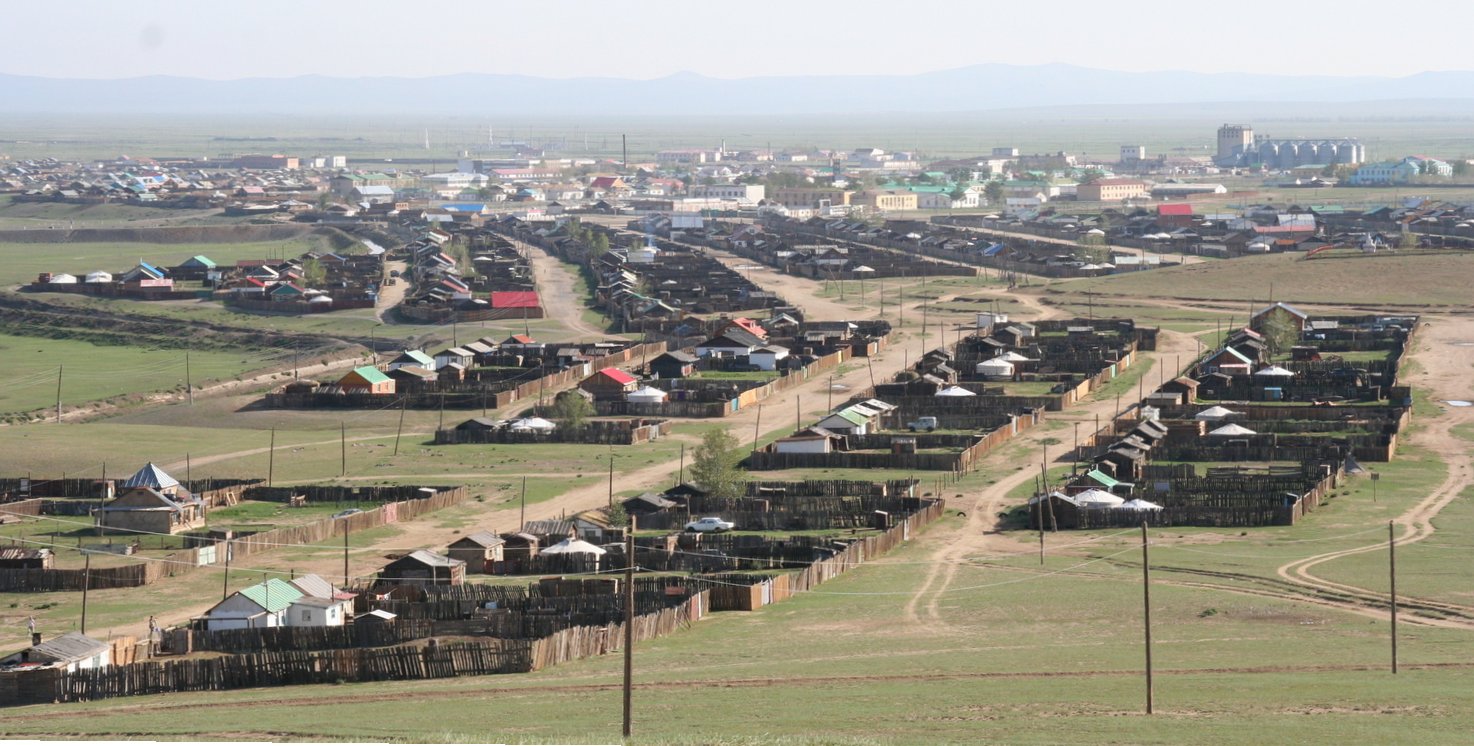


About Our Data
The data on this page is estimated using a number of publicly available tools and resources. It is provided without warranty, and could contain inaccuracies. Use at your own risk.