Categories in Salem
Salem Facts
| Local Time | |
| Timezone | Atlantic Standard Time |
| Lat & Lng | 16.75095, -62.22175 |
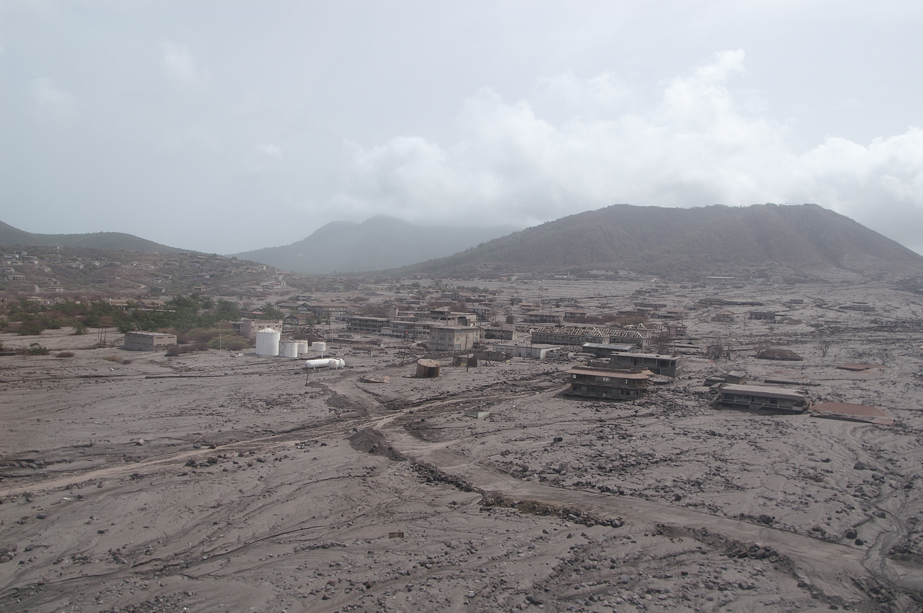
Map of Salem
Interactive Map
Price Distribution
Business distribution by price for Salem
Recent Nearby Earthquakes
Magnitude 3.0 and greater
| Date▼ | Time↕ | Magnitude↕ | Distance↕ | Depth↕ | Location↕ | Link |
|---|---|---|---|---|---|---|
| 10/11/15 | 10:15 AM | 4.1 | 31 km | 131,780 m | 28km WSW of Plymouth, Montserrat | usgs.gov |
| 7/9/15 | 6:45 AM | 4.4 | 34.5 km | 128,350 m | 24km S of Bolands, Antigua and Barbuda | usgs.gov |
| 9/24/12 | 9:56 PM | 3.7 | 12.8 km | 16,900 m | Montserrat region, Leeward Islands | usgs.gov |
| 11/3/08 | 5:49 AM | 3.9 | 25.5 km | 5,900 m | Montserrat region, Leeward Islands | usgs.gov |
| 11/1/08 | 6:14 PM | 4.3 | 30.4 km | 10,000 m | Saint Kitts and Nevis region, Leeward Islands | usgs.gov |
| 11/1/08 | 4:53 PM | 3.7 | 35.4 km | 6,300 m | Antigua and Barbuda region, Leeward Islands | usgs.gov |
| 10/31/08 | 5:52 AM | 3.9 | 7.9 km | 15,700 m | Montserrat region, Leeward Islands | usgs.gov |
| 12/23/07 | 2:30 AM | 4.1 | 25 km | 105,900 m | Montserrat region, Leeward Islands | usgs.gov |
| 6/27/07 | 9:18 PM | 4 | 28.2 km | 153,000 m | Montserrat region, Leeward Islands | usgs.gov |
| 6/14/06 | 1:03 PM | 3.1 | 16.2 km | 172,000 m | Montserrat region, Leeward Islands | usgs.gov |
Source: U.S. Geological Survey (USGS)


About Our Data
The data on this page is estimated using a number of publicly available tools and resources. It is provided without warranty, and could contain inaccuracies. Use at your own risk.