Ipazoltic Facts
| Area Codes | 467 |
| Local Time | |
| Timezone | Central Standard Time |
| Lat & Lng | 20.43523, -103.98768 |
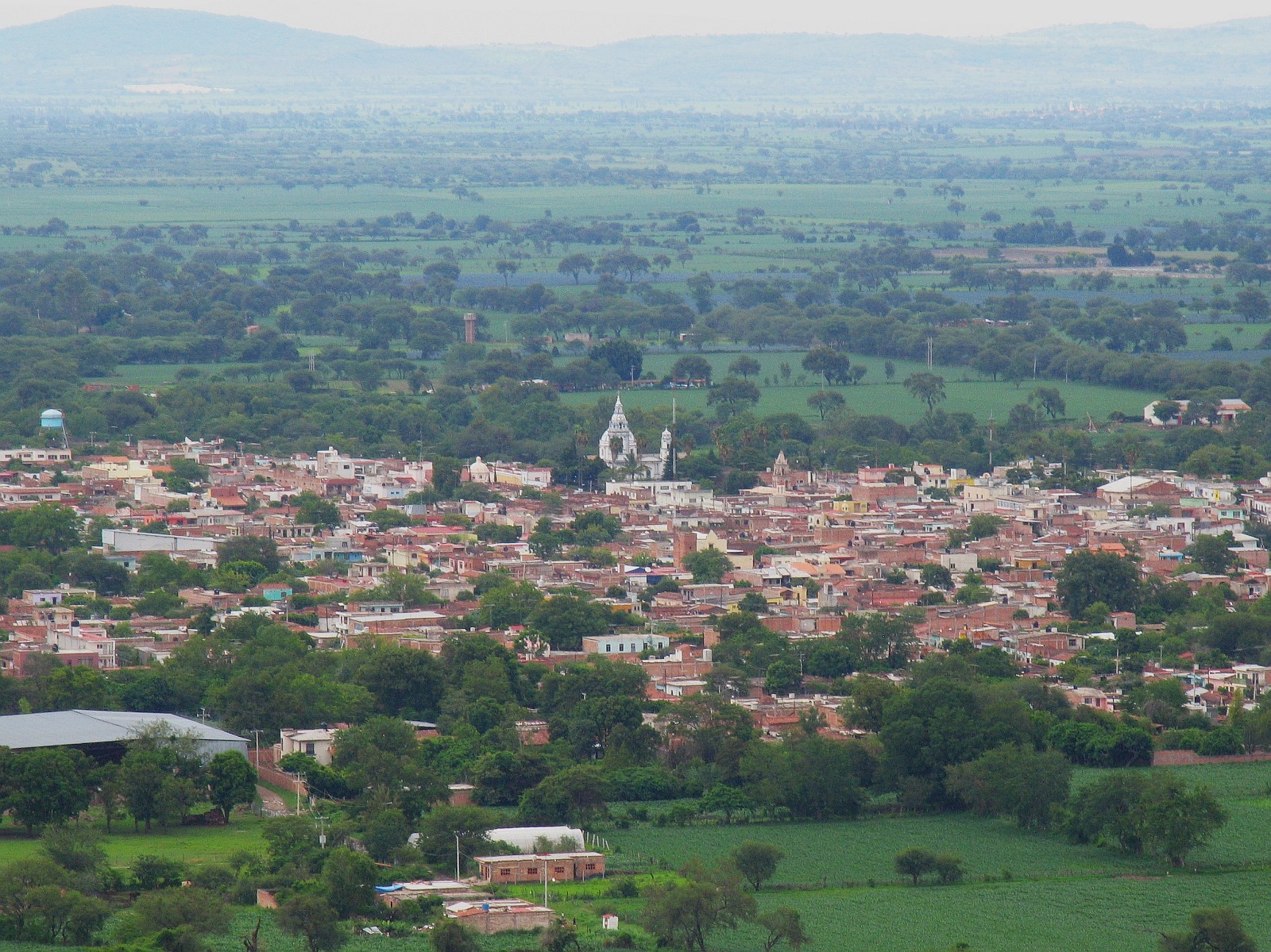
Map of Ipazoltic
Interactive Map
Recent Nearby Earthquakes
Magnitude 3.0 and greater
| Date▼ | Time↕ | Magnitude↕ | Distance↕ | Depth↕ | Location↕ | Link |
|---|---|---|---|---|---|---|
| 5/11/16 | 10:35 PM | 4.5 | 61.8 km | 10,000 m | 3km SSW of Tesistan, Mexico | usgs.gov |
| 12/17/15 | 7:59 AM | 3.6 | 67 km | 6,700 m | 7km NNW of Tesistan, Mexico | usgs.gov |
| 12/15/15 | 5:49 PM | 3.9 | 85.1 km | 10,000 m | 15km WNW of Ixtlahuacan del Rio, Mexico | usgs.gov |
| 12/15/15 | 4:09 PM | 4.1 | 57.8 km | 27,110 m | 6km NNW of La Venta del Astillero, Mexico | usgs.gov |
| 5/18/12 | 3:07 AM | 4.2 | 67.5 km | 5,000 m | Jalisco, Mexico | usgs.gov |
| 10/9/08 | 12:10 PM | 3.9 | 74.7 km | 37,200 m | Jalisco, Mexico | usgs.gov |
| 9/24/05 | 2:46 PM | 3.8 | 97 km | 117,100 m | Jalisco, Mexico | usgs.gov |
| 6/17/04 | 3:46 PM | 3.9 | 42.9 km | 29,100 m | Jalisco, Mexico | usgs.gov |
| 3/14/04 | 6:41 PM | 3.6 | 34.3 km | 87,500 m | Jalisco, Mexico | usgs.gov |
| 3/14/04 | 6:16 PM | 3.9 | 42.7 km | 59,600 m | Jalisco, Mexico | usgs.gov |
Source: U.S. Geological Survey (USGS)
Ipazoltic
Ipazoltic (Nahuatl: Ipazoltic "among herbs") is a town in the municipality of San Martín de Hidalgo in the Mexican state of Jalisco. It is known for the lime mines it had, those of which produced the constructional material for the government buildin..
Ipazoltic Wikipedia Page


About Our Data
The data on this page is estimated using a number of publicly available tools and resources. It is provided without warranty, and could contain inaccuracies. Use at your own risk.