Categories in Pengerang
Industries
Business Distribution by Industry in Pengerang
| Industry Description | Number of Establishments |
|---|---|
| Restaurants | 251 |
| Corporate management | 147 |
| Other accommodation | 60 |
| Shopping | 54 |
| Hotels and motels | 51 |
| Grocery stores and supermarkets | 47 |
| Construction of buildings | 46 |
| Cafes | 41 |
| Education | 37 |
| Religion | 28 |
Pengerang Facts
| Area | 21.6 km² |
| Population | 4,059 |
| Male Population | 2,122 (52.3%) |
| Female Population | 1,937 (47.7%) |
| Population change (1975 to 2020) | -18.7% |
| Population change (2000 to 2020) | -33.6% |
| Median Age | 28.6 years (Male: 28.5, Female: 28.7) |
| GDP per capita (PPP) | $60,360 (2022) |
| Neighborhoods | Kampung Sungai Rengit, Tanjung Merak, Kampung Pengerang, Sungai Rengit, Tanjung Pengelih |
| Local Time | |
| Timezone | Malaysia Time |
| Lat & Lng | 1.36510, 104.11180 |
| Postal Codes | 81600, 81620 |
Map of Pengerang
Interactive Map
Pengerang Population
Years 1975 to 2030
| Data | 1975 | 1990 | 2000 | 2015 | 2020 | 2025* | 2030* |
|---|---|---|---|---|---|---|---|
| Population | 4,992 | 5,362 | 6,109 | 4,786 | 4,059 | 4,122 | 4,315 |
| Population Density | 231.5 / km² | 248.7 / km² | 283.3 / km² | 222 / km² | 188.2 / km² | 191.2 / km² | 200.1 / km² |
Pengerang Population change from 2000 to 2020
Decrease of 33.6% from year 2000 to 2020
| Location | Change since 1975 | Change since 1990 | Change since 2000 |
|---|---|---|---|
| Pengerang | -18.7% | -24.3% | -33.6% |
| Johor | — | — | — |
| Malaysia | — | — | — |
Pengerang Median Age
Median Age: 28.6 years
| Location | Median Age | Median Age (Female) | Median Age (Male) |
|---|---|---|---|
| Pengerang | 28.6 yrs | 28.7 yrs | 28.5 yrs |
| Johor | 26.6 yrs | 26.5 yrs | 26.6 yrs |
| Malaysia | 25.7 yrs | 25.7 yrs | 25.8 yrs |
Pengerang Population Density
Population Density: 188 / km²
| Location | Population | Area | Density |
|---|---|---|---|
| Pengerang | 4,059 | 21.6 km² | 188 / km² |
| Johor | 3.5 million | 18,988.3 km² | 182 / km² |
| Malaysia | 29.6 million | 329,840.2 km² | 89.7 / km² |
Pengerang Historical and Projected Population
Estimated Population from 1100 to 2100
- JRC (European Commission's Joint Research Centre) work on the GHS built-up grid
- CIESIN (Center for International Earth Science Information Network)
- [Link] Klein Goldewijk, K., Beusen, A., Doelman, J., and Stehfest, E.: Anthropogenic land use estimates for the Holocene – HYDE 3.2, Earth Syst. Sci. Data, 9, 927–953, https://doi.org/10.5194/essd-9-927-2017, 2017.
Neighborhoods in Pengerang
Percentage of businesses by neighborhood in Pengerang
Area Codes
Percentage Area Codes used by businesses in Pengerang
Postal Codes
Percentage of businesses by Postal Codes in Pengerang
Price Distribution
Business distribution by price for Pengerang
Human Development Index (HDI)
Statistic composite index of life expectancy, education, and per capita income.
Pengerang Gross Domestic Product (GDP)
GDP per capita, PPP (constant 2017 international $)
| Data | 1990 | 1995 | 2000 | 2005 | 2010 | 2015 | 2020 | 2022 |
|---|---|---|---|---|---|---|---|---|
| GDP per capita | $21,356 | $31,529 | $42,693 | $54,224 | $53,252 | $53,564 | $52,049 | $60,360 |
| Total GDP | $10.2M | $26.3M | $43.9M | $41.4M | $53.4M | $60.7M | $98M | $114.4M |
Pengerang CO2 Emissions
Carbon Dioxide (CO2) Emissions Per Capita in Tonnes Per Year
| Location | CO2 Emissions | CO2 Emissions Per Capita | CO2 Emissions Intensity |
|---|---|---|---|
| Pengerang | 10,236 tn | 2.52 tn | 474.7 tons/km² |
| Johor | 25,270,859 tn | 7.3 tn | 1,330.9 tons/km² |
| Malaysia | 198,593,412 tn | 6.71 tn | 602.1 tons/km² |
| 2013 CO2 emissions (tonnes/year) | 10,236 tn |
| 2013 CO2 emissions (tonnes/year) per capita | 2.52 tn |
| 2013 CO2 emissions intensity (tonnes/km²/year) | 474.7 tons/km² |
Natural Hazards Risk
Relative risk out of 10
| Hazard | Risk Level |
|---|---|
| Flood | High (9) |
* Risk, particularly concerning flood or landslide, may not be for the entire area.
- Dilley, M., R.S. Chen, U. Deichmann, A.L. Lerner-Lam, M. Arnold, J. Agwe, P. Buys, O. Kjekstad, B. Lyon, and G. Yetman. 2005. Natural Disaster Hotspots: A Global Risk Analysis. Washington, D.C.: World Bank. https://doi.org/10.1596/0-8213-5930-4.
- Center for Hazards and Risk Research - CHRR - Columbia University, Center for International Earth Science Information Network - CIESIN - Columbia University. 2005. Global Flood Hazard Frequency and Distribution. Palisades, NY: NASA Socioeconomic Data and Applications Center (SEDAC). https://doi.org/10.7927/H4668B3D.
Pengerang
Pengerang is a small custom cum immigration post in southeast Johor, Malaysia, to the south of Desaru and adjacent to Singapore. It has a road leading to Sungai Rengit - the larger town where food and lodging can be found. Pengerang has many natural ..
Pengerang Wikipedia Page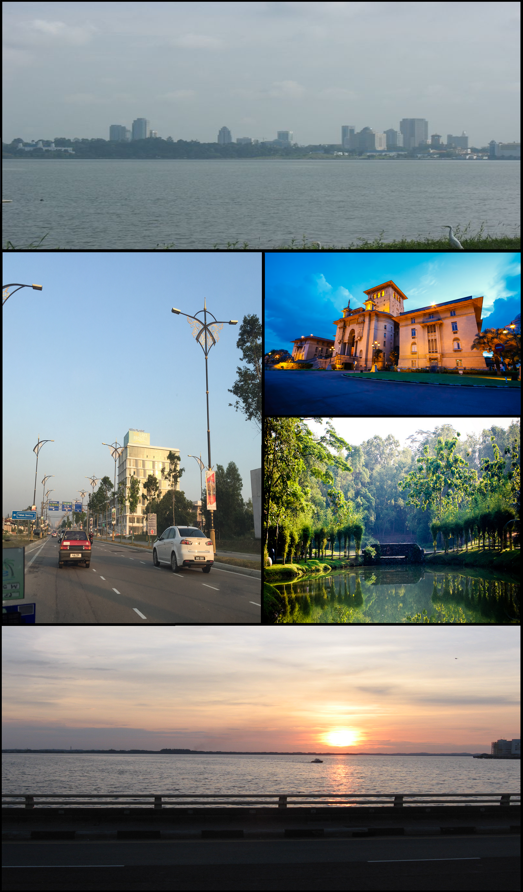


About Our Data
The data on this page is estimated using a number of publicly available tools and resources. It is provided without warranty, and could contain inaccuracies. Use at your own risk.