Onankali Facts
| Local Time | |
| Timezone | Central Africa Time |
| Lat & Lng | -18.16667, 16.35000 |
Map of Onankali
Interactive Map
Recent Nearby Earthquakes
Magnitude 3.0 and greater
| Date▼ | Time↕ | Magnitude↕ | Distance↕ | Depth↕ | Location↕ | Link |
|---|---|---|---|---|---|---|
| 4/11/10 | 2:47 PM | 4 | 47.1 km | 10,000 m | Namibia | usgs.gov |
Source: U.S. Geological Survey (USGS)
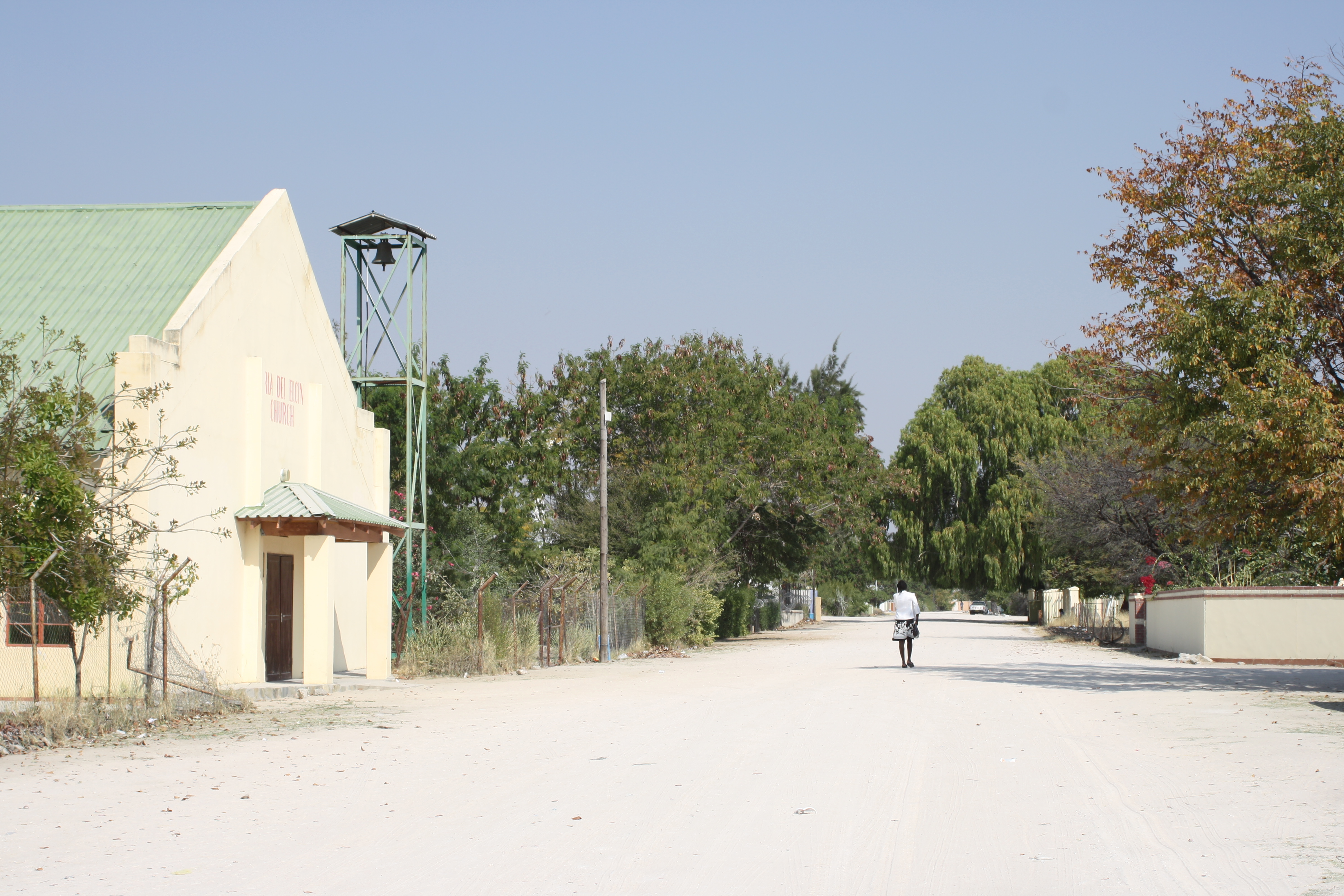
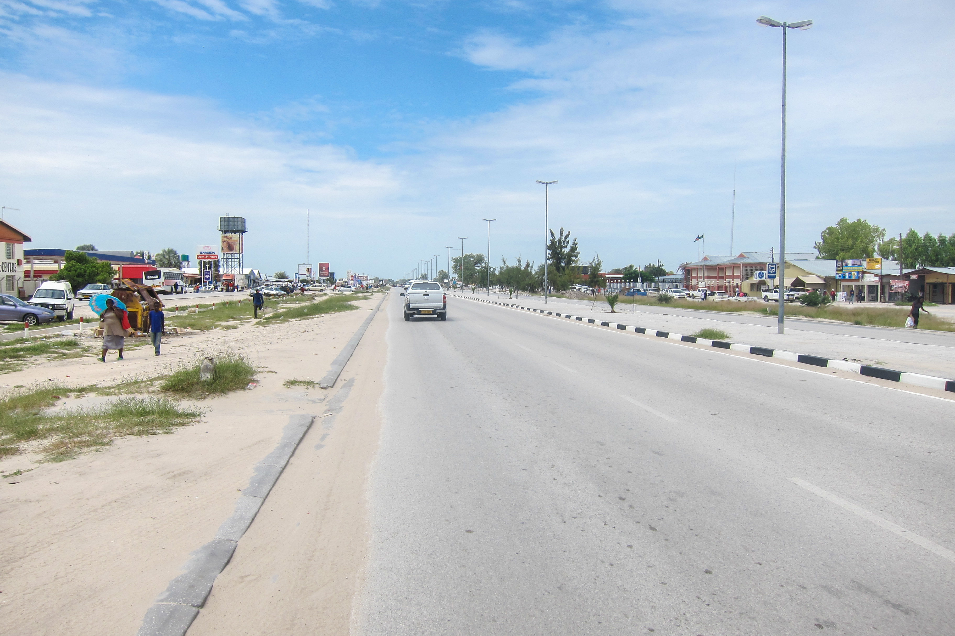
Onankali
Onankali is a village in the northern part of Namibia namely Owamboland, it is situated about 50 km South East of Ondangwa or 20 km North-West of Omuthiya. The "developed village" is populated with about 4000 siblings of which 60% migrated to Urban a..
Onankali Wikipedia Page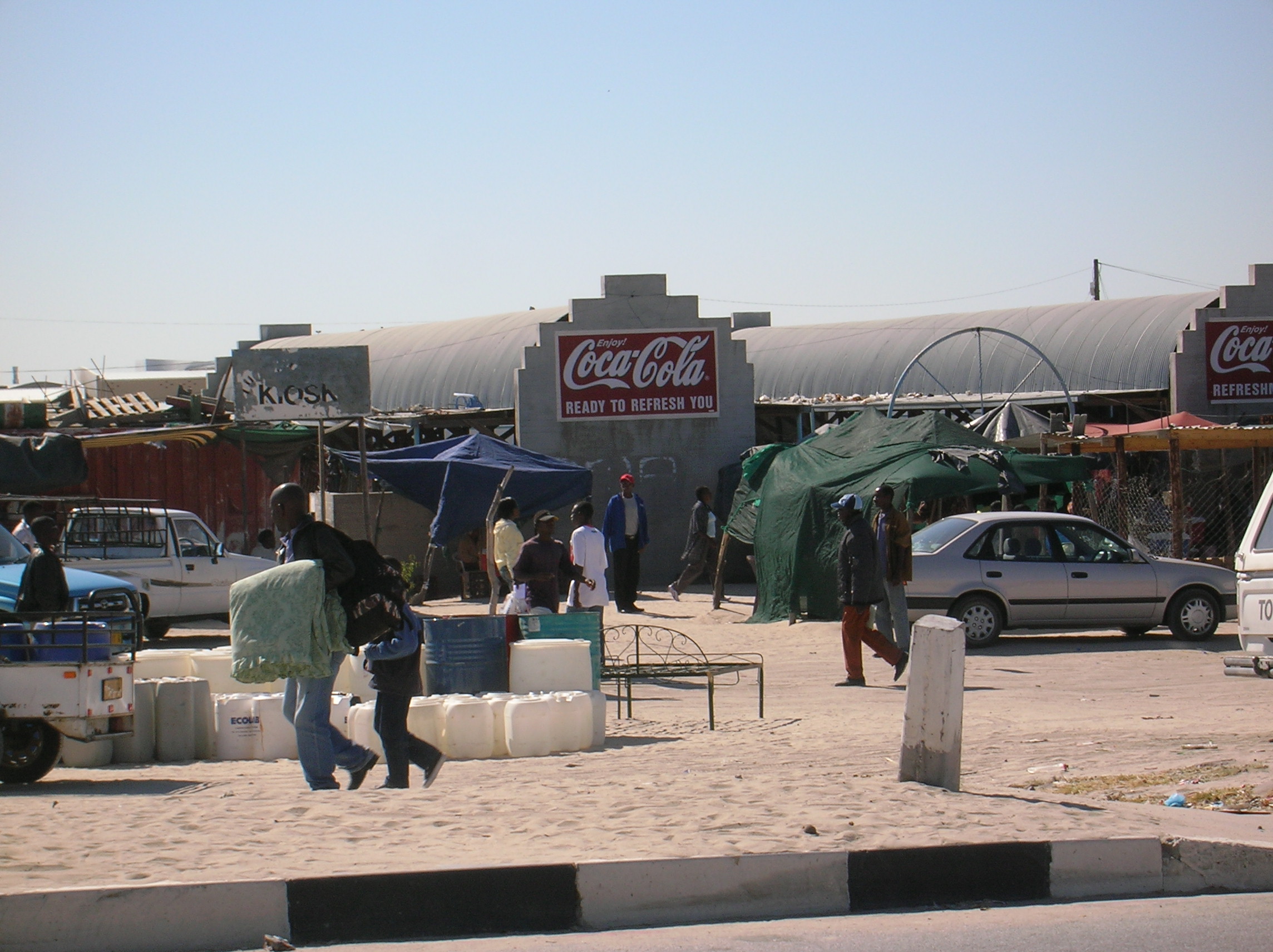
About Our Data
The data on this page is estimated using a number of publicly available tools and resources. It is provided without warranty, and could contain inaccuracies. Use at your own risk.