Schlip Facts
| Local Time | |
| Timezone | Central Africa Time |
| Lat & Lng | -24.03333, 17.16667 |
Map of Schlip
Interactive Map
Recent Nearby Earthquakes
Magnitude 3.0 and greater
| Date▼ | Time↕ | Magnitude↕ | Distance↕ | Depth↕ | Location↕ | Link |
|---|---|---|---|---|---|---|
| 5/7/93 | 1:23 PM | 3.7 | 50.1 km | 10,000 m | Namibia | usgs.gov |
| 12/23/92 | 10:54 AM | 5 | 39.6 km | 10,000 m | Namibia | usgs.gov |
Source: U.S. Geological Survey (USGS)
Schlip
Schlip is a settlement of about 1,500 inhabitants in the Rehoboth Rural constituency in the Hardap Region of central Namibia. It is situated on the unpaved road D1290 and has two primary schools and a junior secondary school. Schlip is the main settl..
Schlip Wikipedia Page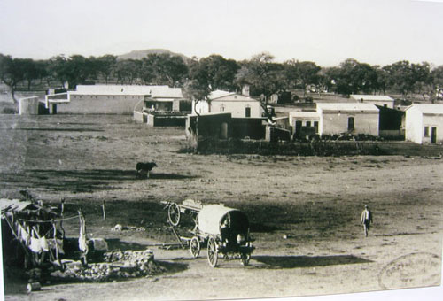


About Our Data
The data on this page is estimated using a number of publicly available tools and resources. It is provided without warranty, and could contain inaccuracies. Use at your own risk.