Categories in Herøya
Herøya Facts
| Local Time | |
| Timezone | Central European Summer Time |
| Lat & Lng | 59.11146, 9.64884 |
Map of Herøya
Interactive Map
Recent Nearby Earthquakes
Magnitude 3.0 and greater
| Date▼ | Time↕ | Magnitude↕ | Distance↕ | Depth↕ | Location↕ | Link |
|---|---|---|---|---|---|---|
| 11/29/00 | 10:07 PM | 3.4 | 98.7 km | 10,000 m | Sweden | usgs.gov |
| 2/19/92 | 6:39 AM | 3.8 | 78.3 km | 10,000 m | southern Norway | usgs.gov |
Source: U.S. Geological Survey (USGS)
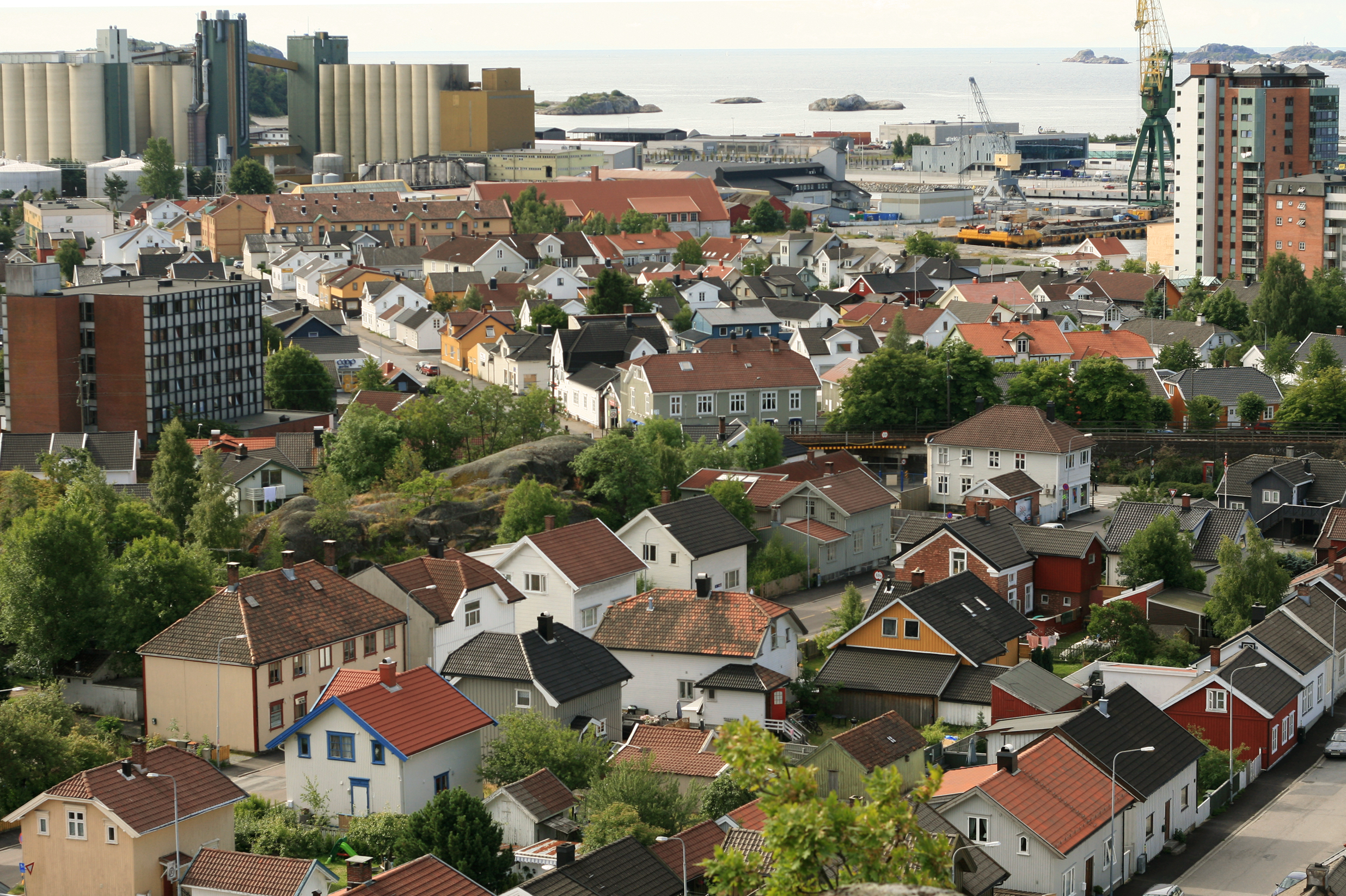
Herøya
Herøya is a peninsula in the municipality of Porsgrunn, Norway. It is located between the fjords of Frierfjord to the west and Gunneklevfjord to the east, at the mouth of Telemarksvassdraget. The name stems from the word hare because of the large num..
Herøya Wikipedia Page


About Our Data
The data on this page is estimated using a number of publicly available tools and resources. It is provided without warranty, and could contain inaccuracies. Use at your own risk.