Amapuri Facts
| Local Time | |
| Timezone | Nepal Time |
| Lat & Lng | 27.69302, 84.26558 |
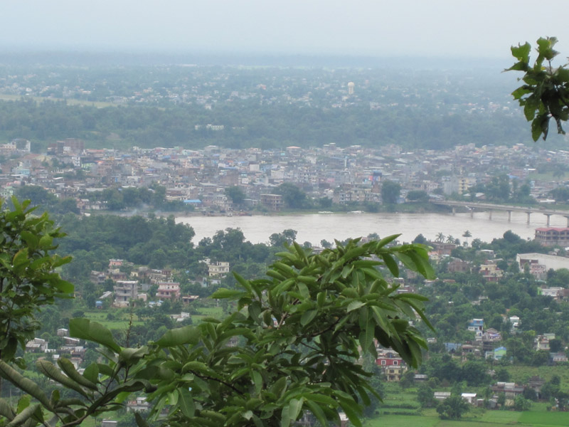
Map of Amapuri
Interactive Map
Recent Nearby Earthquakes
Magnitude 3.0 and greater
| Date▼ | Time↕ | Magnitude↕ | Distance↕ | Depth↕ | Location↕ | Link |
|---|---|---|---|---|---|---|
| 5/17/19 | 8:23 AM | 4.7 | 49.4 km | 10,000 m | 37km NE of Bharatpur, Nepal | usgs.gov |
| 4/24/19 | 12:44 AM | 4.7 | 79.4 km | 27,340 m | 22km WNW of Kirtipur, Nepal | usgs.gov |
| 6/28/18 | 4:07 AM | 4.8 | 59.6 km | 10,000 m | 45km ENE of Bharatpur, Nepal | usgs.gov |
| 6/21/16 | 5:49 AM | 3.5 | 66.4 km | 10,000 m | 33km W of Kirtipur, Nepal | usgs.gov |
| 6/13/16 | 11:27 PM | 4.1 | 34.8 km | 10,000 m | 28km NNE of Bharatpur, Nepal | usgs.gov |
| 5/23/16 | 7:09 PM | 4.3 | 81.3 km | 10,000 m | 18km W of Kirtipur, Nepal | usgs.gov |
| 5/11/16 | 8:52 AM | 4.5 | 49.7 km | 15,990 m | 26km SE of Lamjung, Nepal | usgs.gov |
| 5/11/16 | 1:19 AM | 4.5 | 71 km | 10,230 m | 45km NW of Kirtipur, Nepal | usgs.gov |
| 3/13/16 | 5:15 AM | 4.4 | 56.8 km | 10,000 m | 41km ENE of Bharatpur, Nepal | usgs.gov |
| 2/21/16 | 6:10 PM | 5.1 | 51.8 km | 16,720 m | 40km NE of Bharatpur, Nepal | usgs.gov |
Source: U.S. Geological Survey (USGS)
About Our Data
The data on this page is estimated using a number of publicly available tools and resources. It is provided without warranty, and could contain inaccuracies. Use at your own risk.