Ankhisalla Facts
| Local Time | |
| Timezone | Nepal Time |
| Lat & Lng | 26.96306, 87.24423 |
| Postal Codes | 56805 |
Map of Ankhisalla
Interactive Map
Recent Nearby Earthquakes
Magnitude 3.0 and greater
| Date▼ | Time↕ | Magnitude↕ | Distance↕ | Depth↕ | Location↕ | Link |
|---|---|---|---|---|---|---|
| 1/22/19 | 4:45 PM | 4.3 | 45.8 km | 10,000 m | 15km NW of Bhojpur, Nepal | usgs.gov |
| 6/20/18 | 4:15 AM | 4.4 | 60.2 km | 52,910 m | 29km NNW of Ilam, Nepal | usgs.gov |
| 6/20/18 | 4:08 AM | 4.4 | 25.9 km | 38,300 m | 17km E of Dhankuta, Nepal | usgs.gov |
| 12/2/17 | 11:43 PM | 4.2 | 90.3 km | 10,000 m | 24km NW of Naya Bazar, India | usgs.gov |
| 8/15/15 | 5:42 AM | 4.4 | 76 km | 10,000 m | 48km WNW of Naya Bazar, India | usgs.gov |
| 4/27/15 | 12:35 PM | 5.1 | 81.3 km | 31,710 m | 13km ESE of Ilam, Nepal | usgs.gov |
| 12/8/13 | 2:19 PM | 4 | 92.2 km | 44,810 m | 55km NE of Khandbari, Nepal | usgs.gov |
| 4/19/13 | 6:35 AM | 4.2 | 72.9 km | 47,100 m | 46km WNW of Naya Bazar, India | usgs.gov |
| 11/30/12 | 7:39 PM | 4.7 | 99 km | 25,000 m | Sikkim, India | usgs.gov |
| 6/11/12 | 4:35 AM | 4.5 | 95.7 km | 51,500 m | Sikkim, India | usgs.gov |
Source: U.S. Geological Survey (USGS)
Ankhisalla
Ankhisalla is a village development committee in Dhankuta District in the Kosi Zone of eastern Nepal. At the time of the 1991 Nepal census it had a population of 5220 people living in 923 individual households.
Ankhisalla Wikipedia Page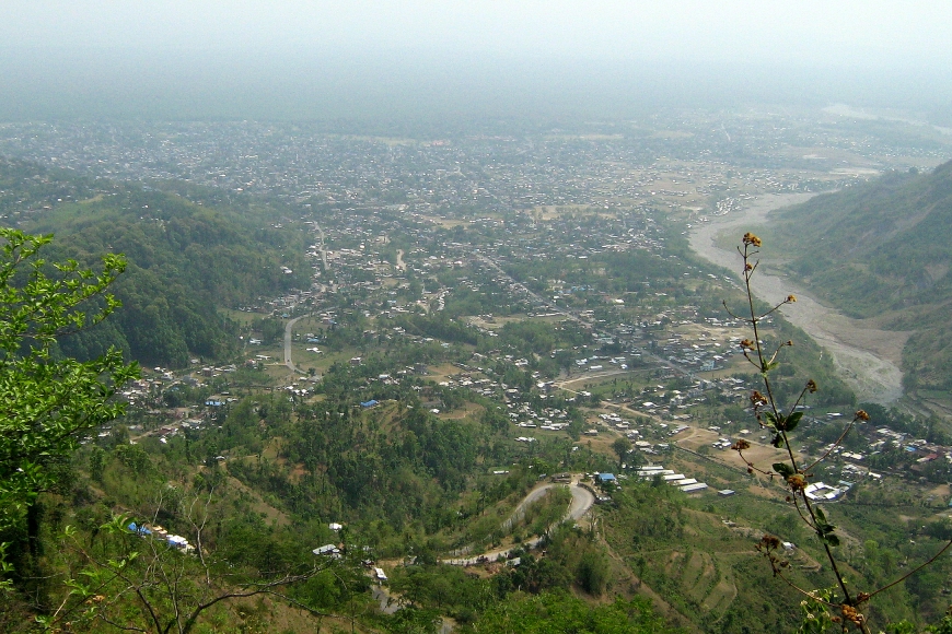


About Our Data
The data on this page is estimated using a number of publicly available tools and resources. It is provided without warranty, and could contain inaccuracies. Use at your own risk.