Dhamauli Facts
| Local Time | |
| Timezone | Nepal Time |
| Lat & Lng | 27.54727, 83.32907 |
Map of Dhamauli
Interactive Map
Recent Nearby Earthquakes
Magnitude 3.0 and greater
| Date▼ | Time↕ | Magnitude↕ | Distance↕ | Depth↕ | Location↕ | Link |
|---|---|---|---|---|---|---|
| 5/20/08 | 7:10 PM | 3.7 | 64.9 km | 10,000 m | Nepal-India border region | usgs.gov |
| 4/8/08 | 8:41 PM | 3.3 | 91.5 km | 27,600 m | Nepal | usgs.gov |
| 2/24/08 | 5:07 PM | 3.7 | 83.3 km | 35,000 m | Nepal | usgs.gov |
| 2/19/06 | 9:19 PM | 3.8 | 90.2 km | 35,000 m | Nepal | usgs.gov |
| 2/19/06 | 9:18 PM | 3.6 | 76.8 km | 35,000 m | Nepal | usgs.gov |
| 7/16/04 | 8:33 PM | 4 | 97.1 km | 16,600 m | Nepal | usgs.gov |
| 11/23/03 | 7:15 PM | 4 | 93.9 km | 32,299 m | Nepal | usgs.gov |
| 11/22/03 | 11:31 PM | 4.3 | 84.4 km | 33,000 m | Nepal | usgs.gov |
| 11/22/03 | 5:07 AM | 4.3 | 91.6 km | 30,900 m | Nepal | usgs.gov |
| 6/2/02 | 6:12 AM | 3.8 | 68 km | 33,000 m | Nepal | usgs.gov |
Source: U.S. Geological Survey (USGS)
Dhamauli
Dhamauli is a village development committee in Rupandehi District in the Lumbini Zone of southern Nepal. At the time of the 1991 Nepal census it had a population of 4060 people living in 628 individual households. Late Mr.Abdul Kalam was a chairman o..
Dhamauli Wikipedia Page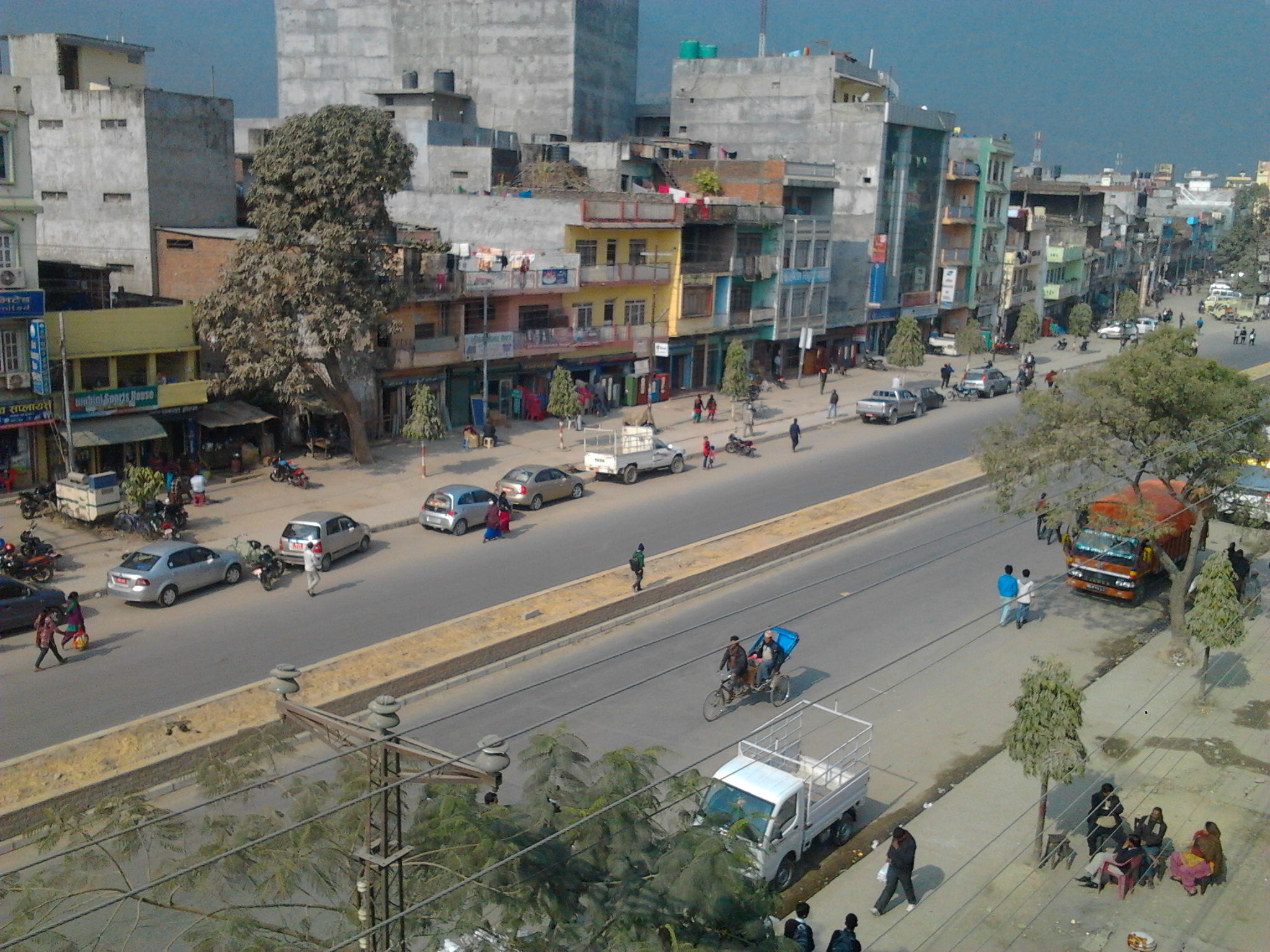

About Our Data
The data on this page is estimated using a number of publicly available tools and resources. It is provided without warranty, and could contain inaccuracies. Use at your own risk.