Duhabi, Janakpur Facts
| Area Codes | 25 |
| Local Time | |
| Timezone | Nepal Time |
| Lat & Lng | 26.66612, 86.05160 |
Map of Duhabi, Janakpur
Interactive Map
Recent Nearby Earthquakes
Magnitude 3.0 and greater
| Date▼ | Time↕ | Magnitude↕ | Distance↕ | Depth↕ | Location↕ | Link |
|---|---|---|---|---|---|---|
| 7/2/17 | 1:58 AM | 4.8 | 63.7 km | 10,000 m | 10km SSE of Ramechhap, Nepal | usgs.gov |
| 2/27/17 | 4:21 AM | 4.6 | 79 km | 20,280 m | 16km WNW of Ramechhap, Nepal | usgs.gov |
| 2/27/17 | 3:37 AM | 4.7 | 84.2 km | 11,230 m | 11km N of Ramechhap, Nepal | usgs.gov |
| 4/4/16 | 4:31 AM | 4.2 | 98.9 km | 23,690 m | 32km E of Panaoti, Nepal | usgs.gov |
| 6/29/15 | 9:46 PM | 4.3 | 94.1 km | 10,000 m | 26km ESE of Panaoti, Nepal | usgs.gov |
| 6/22/15 | 7:34 AM | 4.3 | 97.2 km | 10,000 m | 25km NNW of Ramechhap, Nepal | usgs.gov |
| 5/22/15 | 11:45 AM | 4.3 | 97.3 km | 10,000 m | 24km N of Ramechhap, Nepal | usgs.gov |
| 5/16/15 | 11:34 AM | 5.5 | 99.1 km | 7,000 m | 26km N of Ramechhap, Nepal | usgs.gov |
| 5/12/15 | 5:28 PM | 4.8 | 92.6 km | 10,000 m | 19km NNE of Ramechhap, Nepal | usgs.gov |
| 5/12/15 | 10:42 AM | 4 | 94.3 km | 10,000 m | 30km NE of Ramechhap, Nepal | usgs.gov |
Source: U.S. Geological Survey (USGS)
Duhabi, Janakpur
Duhabi is a Village Development Committee in Dhanusa District in the Janakpur Zone of south-eastern Nepal. At the time of the 1991 Nepal census it had a population of 5,762 persons residing in 990 individual households. is an archeological, historic..
Duhabi, Janakpur Wikipedia Page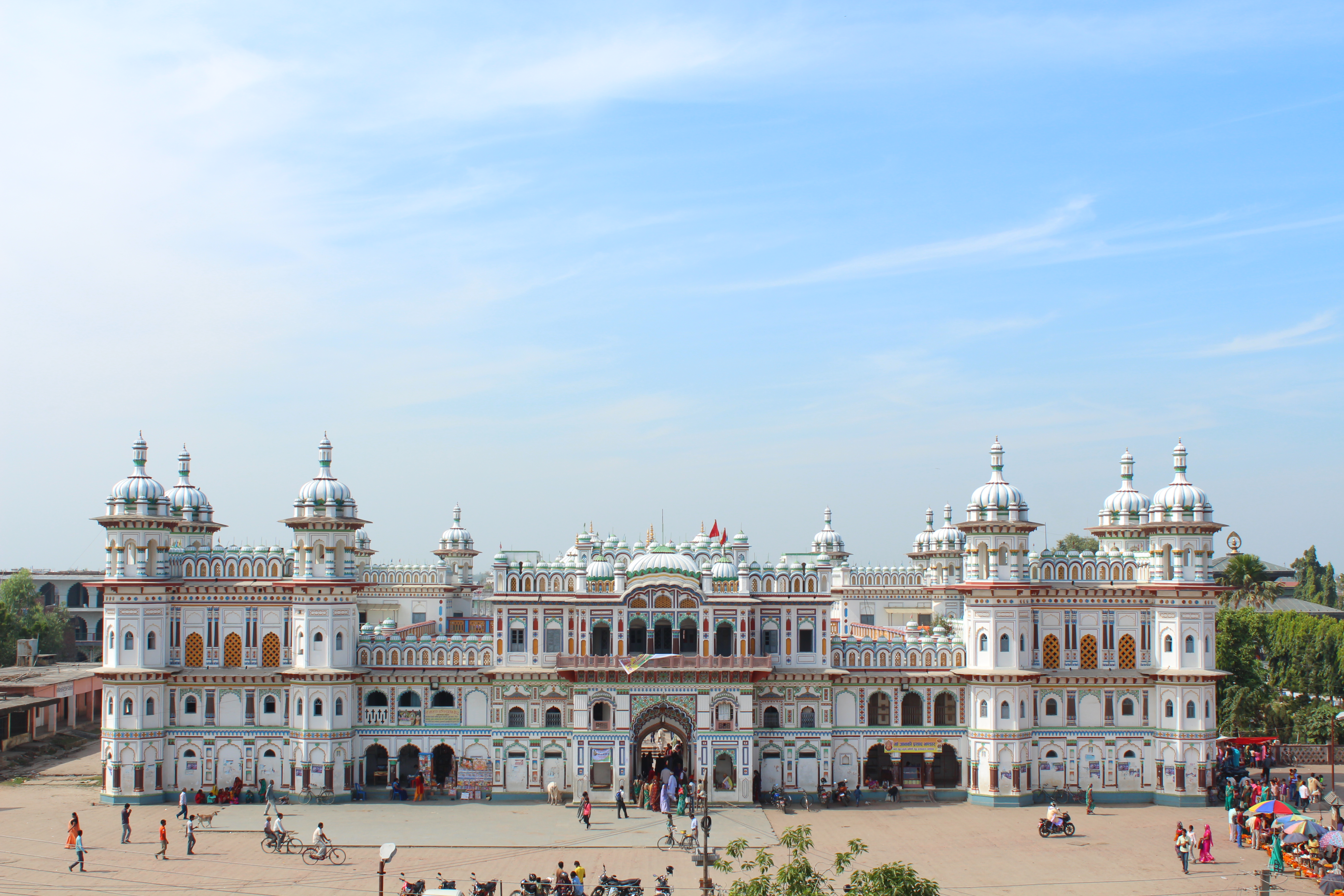

About Our Data
The data on this page is estimated using a number of publicly available tools and resources. It is provided without warranty, and could contain inaccuracies. Use at your own risk.