Juluke Facts
| Local Time | |
| Timezone | Nepal Time |
| Lat & Lng | 27.90575, 82.97185 |
Map of Juluke
Interactive Map
Recent Nearby Earthquakes
Magnitude 3.0 and greater
| Date▼ | Time↕ | Magnitude↕ | Distance↕ | Depth↕ | Location↕ | Link |
|---|---|---|---|---|---|---|
| 6/20/15 | 12:23 PM | 4.7 | 79 km | 10,000 m | 49km ENE of Salyan, Nepal | usgs.gov |
| 8/24/12 | 3:55 AM | 4.4 | 60.3 km | 35,000 m | Nepal | usgs.gov |
| 8/24/12 | 12:17 AM | 4 | 63.5 km | 35,000 m | Nepal | usgs.gov |
| 8/23/12 | 4:30 PM | 5 | 68.4 km | 28,400 m | Nepal | usgs.gov |
| 11/25/10 | 2:05 PM | 4 | 66.1 km | 10,000 m | Nepal | usgs.gov |
| 5/20/08 | 7:10 PM | 3.7 | 94.3 km | 10,000 m | Nepal-India border region | usgs.gov |
| 4/8/08 | 8:41 PM | 3.3 | 64.1 km | 27,600 m | Nepal | usgs.gov |
| 2/24/08 | 5:07 PM | 3.7 | 78.2 km | 35,000 m | Nepal | usgs.gov |
| 2/19/06 | 9:19 PM | 3.8 | 88.1 km | 35,000 m | Nepal | usgs.gov |
| 2/19/06 | 9:18 PM | 3.6 | 77.7 km | 35,000 m | Nepal | usgs.gov |
Source: U.S. Geological Survey (USGS)
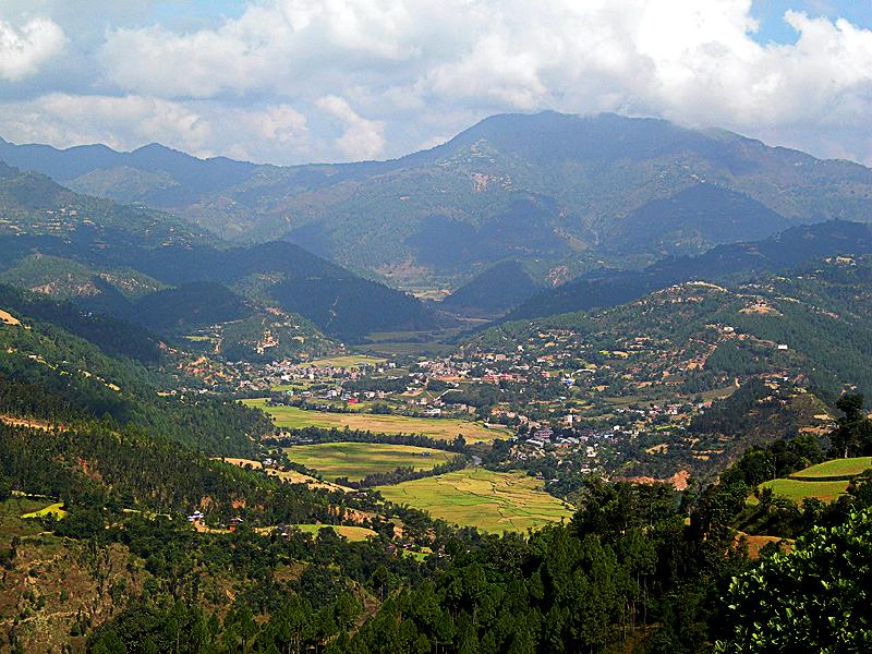
Juluke
Jaluke (जलुके) is a small town in Arghakhanchi District in the Lumbini Zone of southern Nepal. At the time of the 2011 Nepal census it had a population of 6,142 and had 1242 houses in the town.
Juluke Wikipedia Page

About Our Data
The data on this page is estimated using a number of publicly available tools and resources. It is provided without warranty, and could contain inaccuracies. Use at your own risk.