Khokling Facts
| Local Time | |
| Timezone | Nepal Time |
| Lat & Lng | 27.39442, 87.64812 |
| Postal Codes | 57507 |
Map of Khokling
Interactive Map
Recent Nearby Earthquakes
Magnitude 3.0 and greater
| Date▼ | Time↕ | Magnitude↕ | Distance↕ | Depth↕ | Location↕ | Link |
|---|---|---|---|---|---|---|
| 1/22/19 | 4:45 PM | 4.3 | 73.6 km | 10,000 m | 15km NW of Bhojpur, Nepal | usgs.gov |
| 6/20/18 | 4:15 AM | 4.4 | 31.6 km | 52,910 m | 29km NNW of Ilam, Nepal | usgs.gov |
| 6/20/18 | 4:08 AM | 4.4 | 49.8 km | 38,300 m | 17km E of Dhankuta, Nepal | usgs.gov |
| 6/17/18 | 3:07 PM | 4.4 | 81.7 km | 49,760 m | 12km SSW of Mangan, India | usgs.gov |
| 5/8/18 | 1:07 PM | 4 | 76.9 km | 32,610 m | 52km SW of Gyangkar, China | usgs.gov |
| 12/2/17 | 11:43 PM | 4.2 | 44.5 km | 10,000 m | 24km NW of Naya Bazar, India | usgs.gov |
| 5/16/17 | 10:13 PM | 4.2 | 52.3 km | 10,000 m | 23km NNW of Naya Bazar, India | usgs.gov |
| 8/15/15 | 5:42 AM | 4.4 | 20.7 km | 10,000 m | 48km WNW of Naya Bazar, India | usgs.gov |
| 4/27/15 | 12:35 PM | 5.1 | 71.2 km | 31,710 m | 13km ESE of Ilam, Nepal | usgs.gov |
| 8/22/14 | 3:59 PM | 4.4 | 72.3 km | 59,960 m | 40km S of Gyangkar, China | usgs.gov |
Source: U.S. Geological Survey (USGS)
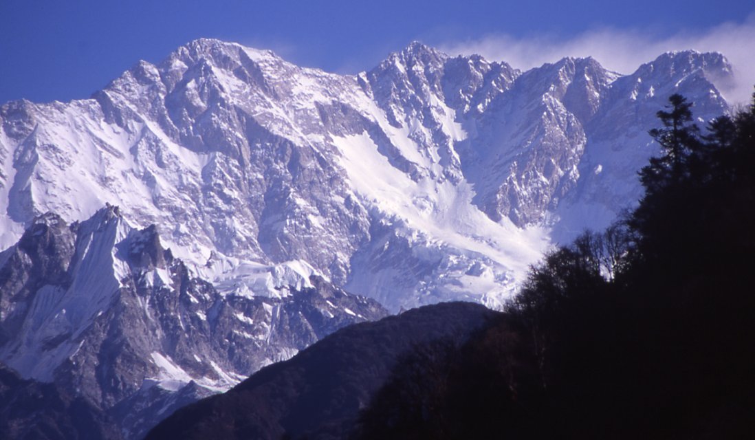
Khokling
Khokling is a village development committee in the Himalayas of Taplejung District in the Mechi Zone of north-eastern Nepal. At the time of the 1991 Nepal census it had a population of 3132 people living in 529 individual households.
Khokling Wikipedia Page
About Our Data
The data on this page is estimated using a number of publicly available tools and resources. It is provided without warranty, and could contain inaccuracies. Use at your own risk.