Kunjo Facts
| Local Time | |
| Timezone | Nepal Time |
| Lat & Lng | 28.65488, 83.63558 |
Map of Kunjo
Interactive Map
Recent Nearby Earthquakes
Magnitude 3.0 and greater
| Date▼ | Time↕ | Magnitude↕ | Distance↕ | Depth↕ | Location↕ | Link |
|---|---|---|---|---|---|---|
| 6/20/15 | 12:23 PM | 4.7 | 98.8 km | 10,000 m | 49km ENE of Salyan, Nepal | usgs.gov |
| 4/25/15 | 6:20 AM | 5.4 | 97.6 km | 10,000 m | 12km E of Lamjung, Nepal | usgs.gov |
| 1/31/15 | 1:59 PM | 4.8 | 51.5 km | 32,409 m | 3km N of Pokhara, Nepal | usgs.gov |
| 8/23/12 | 4:30 PM | 5 | 94.8 km | 28,400 m | Nepal | usgs.gov |
| 6/9/12 | 7:54 AM | 4.8 | 55.7 km | 20,100 m | Nepal | usgs.gov |
| 11/25/10 | 2:05 PM | 4 | 90 km | 10,000 m | Nepal | usgs.gov |
| 12/22/08 | 9:19 PM | 3.5 | 78.6 km | 10,000 m | Nepal | usgs.gov |
| 5/20/08 | 7:10 PM | 3.7 | 98.8 km | 10,000 m | Nepal-India border region | usgs.gov |
| 4/8/08 | 8:41 PM | 3.3 | 41.5 km | 27,600 m | Nepal | usgs.gov |
| 3/5/08 | 10:46 AM | 3.4 | 90.6 km | 26,200 m | Nepal | usgs.gov |
Source: U.S. Geological Survey (USGS)
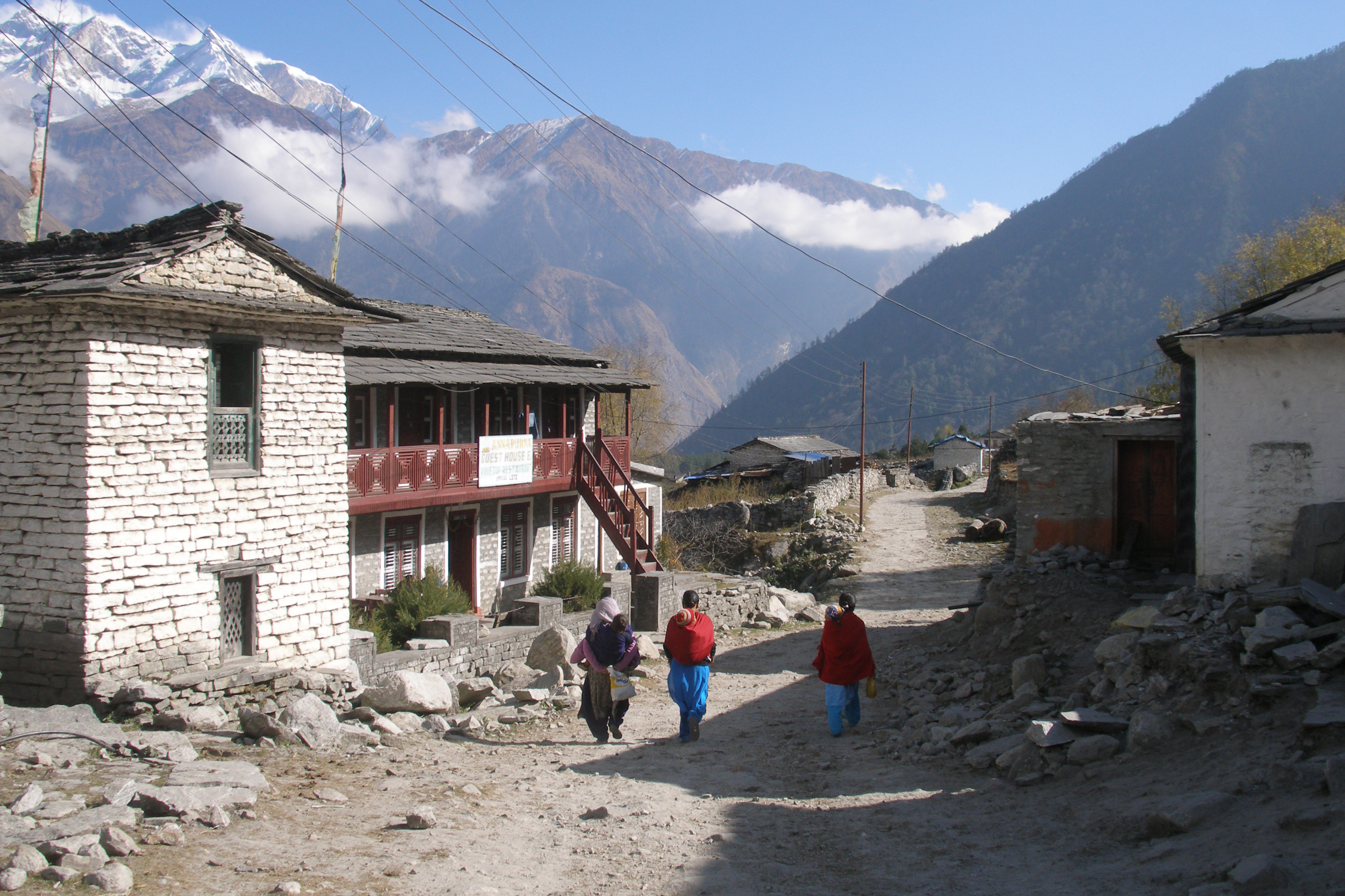
Kunjo
Kunjo is a village development committee in Mustang District in the Dhawalagiri Zone of northern Nepal. At the time of the 1991 Nepal census it had a population of 668 people living in 147 individual households.
Kunjo Wikipedia Page


About Our Data
The data on this page is estimated using a number of publicly available tools and resources. It is provided without warranty, and could contain inaccuracies. Use at your own risk.