Moli Facts
| Local Time | |
| Timezone | Nepal Time |
| Lat & Lng | 27.23727, 86.55690 |
| Postal Codes | 56111 |
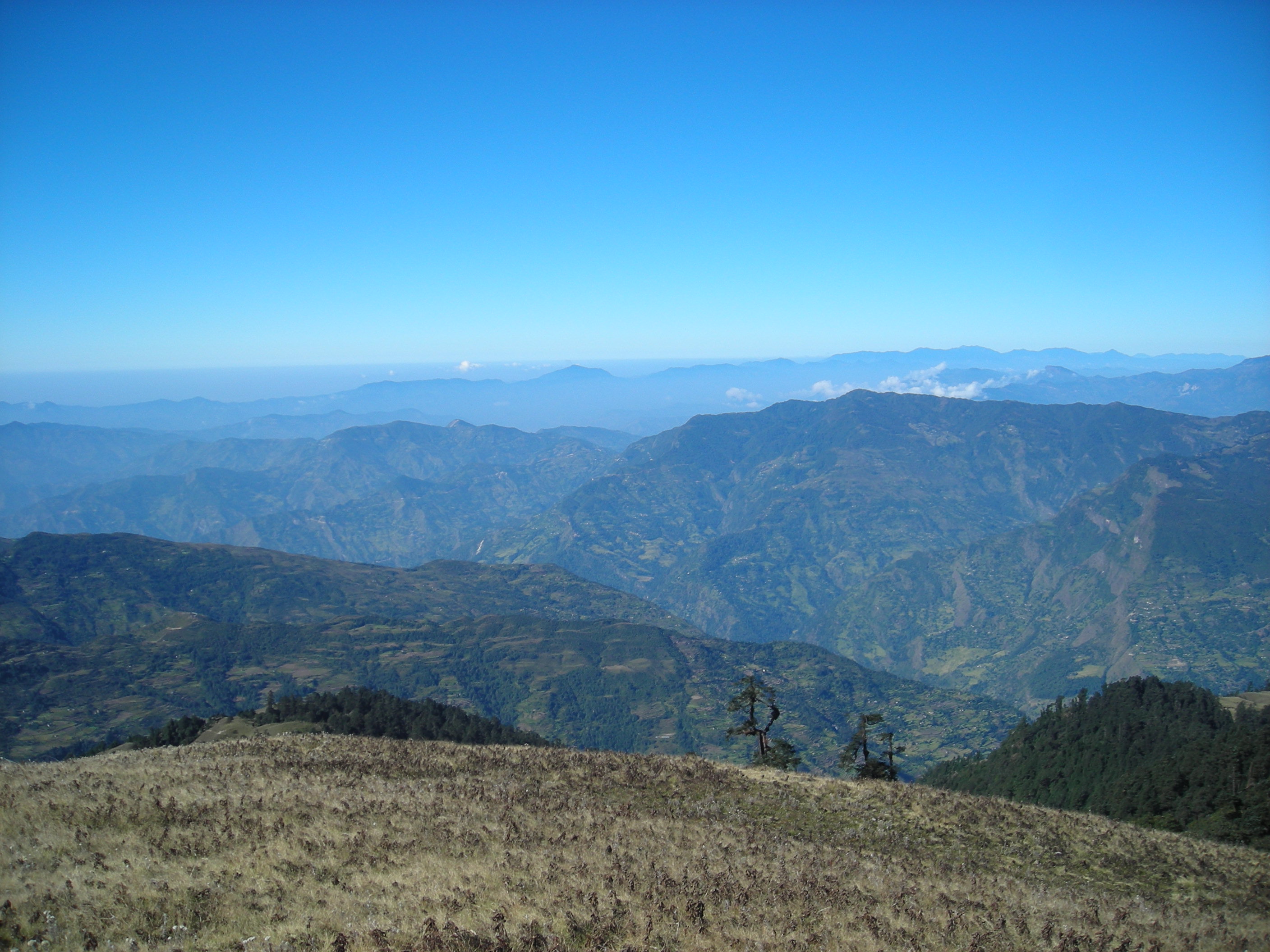
Map of Moli
Interactive Map
Recent Nearby Earthquakes
Magnitude 3.0 and greater
| Date▼ | Time↕ | Magnitude↕ | Distance↕ | Depth↕ | Location↕ | Link |
|---|---|---|---|---|---|---|
| 5/25/19 | 5:17 AM | 4.5 | 50.6 km | 10,000 m | 38km WSW of Namche Bazar, Nepal | usgs.gov |
| 1/22/19 | 4:45 PM | 4.3 | 36.1 km | 10,000 m | 15km NW of Bhojpur, Nepal | usgs.gov |
| 8/21/17 | 12:03 PM | 4.5 | 57.8 km | 10,000 m | 29km N of Ramechhap, Nepal | usgs.gov |
| 7/2/17 | 1:58 AM | 4.8 | 43.7 km | 10,000 m | 10km SSE of Ramechhap, Nepal | usgs.gov |
| 2/27/17 | 4:21 AM | 4.6 | 63.6 km | 20,280 m | 16km WNW of Ramechhap, Nepal | usgs.gov |
| 2/27/17 | 3:37 AM | 4.7 | 51.7 km | 11,230 m | 11km N of Ramechhap, Nepal | usgs.gov |
| 11/27/16 | 11:35 PM | 5.4 | 62.6 km | 10,000 m | 17km W of Namche Bazar, Nepal | usgs.gov |
| 4/12/16 | 2:41 PM | 4.3 | 63.8 km | 10,000 m | 31km N of Ramechhap, Nepal | usgs.gov |
| 10/6/15 | 12:02 PM | 4 | 69.5 km | 10,000 m | 29km SE of Kodari, Nepal | usgs.gov |
| 10/5/15 | 7:36 AM | 4.3 | 71 km | 10,000 m | 28km SE of Kodari, Nepal | usgs.gov |
Source: U.S. Geological Survey (USGS)
Moli
Moli is a village development committee in Okhaldhunga District in the Sagarmatha Zone of mid-eastern Nepal. At the time of the 1991 Nepal census it had a population of 3447 living in 597 individual households.
Moli Wikipedia Page

About Our Data
The data on this page is estimated using a number of publicly available tools and resources. It is provided without warranty, and could contain inaccuracies. Use at your own risk.