Kapuni Facts
| Local Time | |
| Timezone | New Zealand Standard Time |
| Lat & Lng | -39.48333, 174.13333 |
Map of Kapuni
Interactive Map
Recent Nearby Earthquakes
Magnitude 3.0 and greater
| Date▼ | Time↕ | Magnitude↕ | Distance↕ | Depth↕ | Location↕ | Link |
|---|---|---|---|---|---|---|
| 6/5/19 | 4:26 AM | 4.1 | 6.4 km | 253,660 m | 11km NW of Hawera, New Zealand | usgs.gov |
| 9/18/18 | 10:11 PM | 4.2 | 21.7 km | 202,680 m | 21km WSW of Hawera, New Zealand | usgs.gov |
| 5/19/18 | 10:40 PM | 4.5 | 18.3 km | 206,980 m | 4km NE of Hawera, New Zealand | usgs.gov |
| 11/7/16 | 4:59 PM | 4.8 | 32.1 km | 19,000 m | 11km NNW of Opunake, New Zealand | usgs.gov |
| 7/4/13 | 4:07 PM | 4.3 | 31.3 km | 114,300 m | North Island of New Zealand | usgs.gov |
| 1/20/13 | 12:45 AM | 4.8 | 40.5 km | 137,900 m | North Island of New Zealand | usgs.gov |
| 6/23/12 | 8:10 PM | 4.1 | 17.2 km | 208,000 m | North Island of New Zealand | usgs.gov |
| 3/5/12 | 7:36 PM | 4.2 | 12.5 km | 226,800 m | North Island of New Zealand | usgs.gov |
| 2/19/12 | 8:07 AM | 5 | 11.3 km | 325,400 m | North Island of New Zealand | usgs.gov |
| 2/11/12 | 12:50 PM | 4 | 26.9 km | 141,700 m | North Island of New Zealand | usgs.gov |
Source: U.S. Geological Survey (USGS)
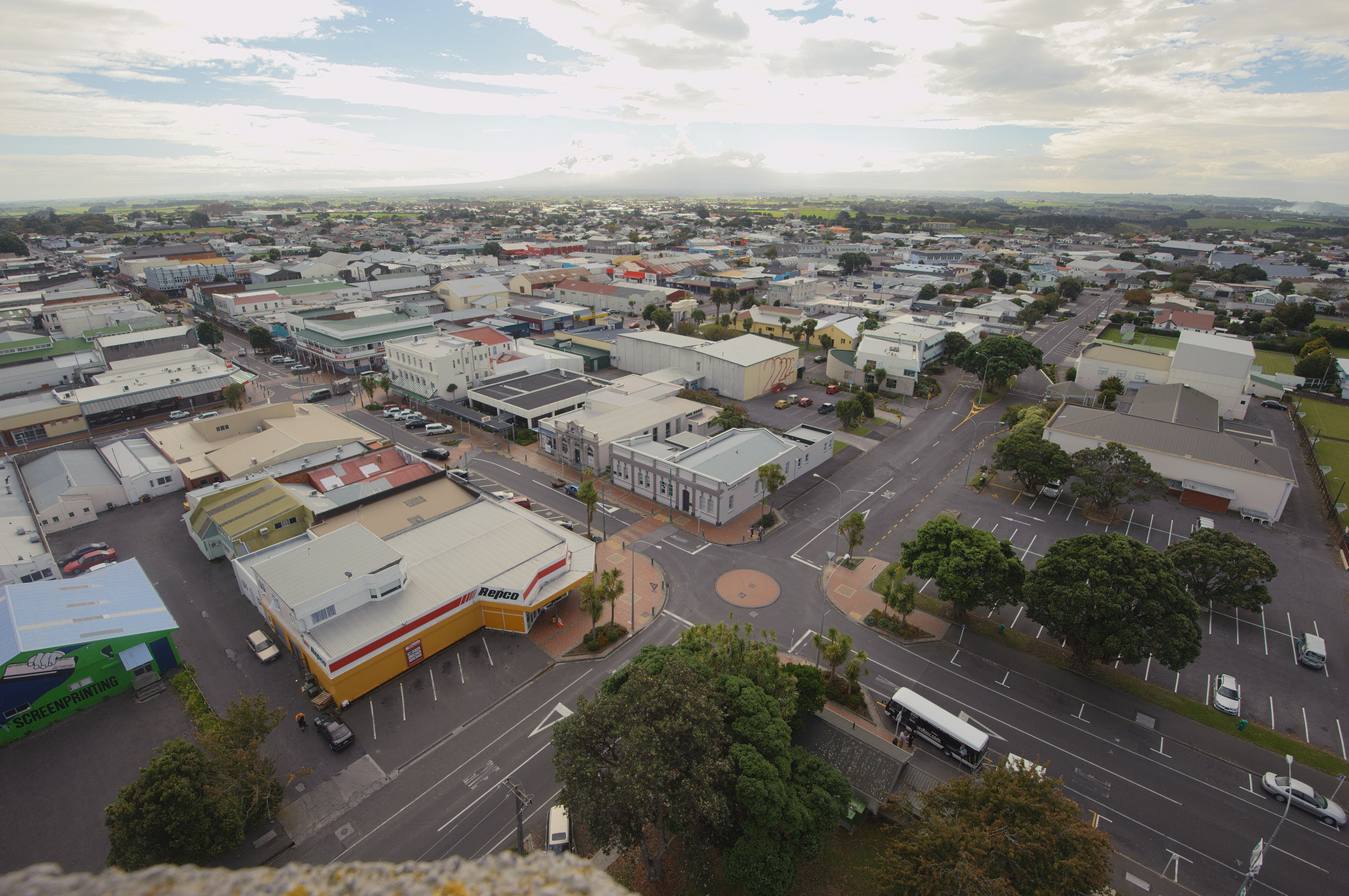
Kapuni
Kapuni is a small hydrocarbons field and drilling site in the North Island of New Zealand. It is located within a dairy farming area in Taranaki, 85 km (53 mi) south of New Plymouth. is the second largest onshore gas/condensate field in New Zealand ..
Kapuni Wikipedia Page

About Our Data
The data on this page is estimated using a number of publicly available tools and resources. It is provided without warranty, and could contain inaccuracies. Use at your own risk.