Matatoki Facts
| Local Time | |
| Timezone | New Zealand Standard Time |
| Lat & Lng | -37.21667, 175.61667 |
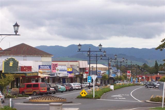
Map of Matatoki
Interactive Map
Recent Nearby Earthquakes
Magnitude 3.0 and greater
| Date▼ | Time↕ | Magnitude↕ | Distance↕ | Depth↕ | Location↕ | Link |
|---|---|---|---|---|---|---|
| 11/6/14 | 2:43 PM | 3.9 | 60.9 km | 6,000 m | 7km NW of Matamata, New Zealand | usgs.gov |
| 8/8/14 | 7:41 AM | 4.2 | 74.9 km | 289,000 m | 4km E of Tauranga, New Zealand | usgs.gov |
| 6/18/14 | 2:37 PM | 4.2 | 76.3 km | 314,630 m | 11km ENE of Tauranga, New Zealand | usgs.gov |
| 4/16/13 | 8:37 AM | 4.1 | 62.7 km | 198,900 m | North Island of New Zealand | usgs.gov |
| 8/25/12 | 1:56 AM | 4.1 | 72.1 km | 192,100 m | off the east coast of the North Island of New Zealand | usgs.gov |
| 7/17/12 | 1:35 AM | 4.6 | 82.2 km | 310,900 m | North Island of New Zealand | usgs.gov |
| 5/4/12 | 10:20 PM | 4.2 | 53.9 km | 286,300 m | North Island of New Zealand | usgs.gov |
| 3/31/12 | 5:47 PM | 4 | 70.6 km | 272,300 m | North Island of New Zealand | usgs.gov |
| 2/18/12 | 11:39 AM | 4.2 | 72.9 km | 318,200 m | North Island of New Zealand | usgs.gov |
| 12/27/11 | 5:32 PM | 4.4 | 68.8 km | 271,600 m | North Island of New Zealand | usgs.gov |
Source: U.S. Geological Survey (USGS)
Matatoki
Matatoki is a locality on the Hauraki Plains of New Zealand. It lies on State Highway 26, south east of Thames and north of Paeroa. The Matatoki Stream runs from the Coromandel Range through the area to join the Waihou River. Kopu sawmill, a few km ..
Matatoki Wikipedia Page

About Our Data
The data on this page is estimated using a number of publicly available tools and resources. It is provided without warranty, and could contain inaccuracies. Use at your own risk.